

Snowfall Report:
An additional 5 inches of snow fell on the upper mountain Friday night, bringing the two-day total to 8 inches. Just rain fell below 7000-7500 ft. overnight.
Saturday – Monday Storms:
The storm is just getting started. There is a large low-pressure circulation off the coast on Saturday morning. As multiple waves move inland, we are going to get precipitation in waves and varying intensity.
We are starting with more showery and scattered bands of rain and snow moving through the region Saturday morning. We could see a round of steadier precipitation move through Saturday afternoon, more scattered Saturday evening again, and then likely the heaviest precipitation of the storm moving in as we go into Sunday morning.
The Monday system still looks to slide south and miss us with the heaviest precipitation, but I’m adding it into the entire forecast for the remainder of this storm. Highs in the 30s for the lower elevations through Monday, with 20s for the upper mountain.
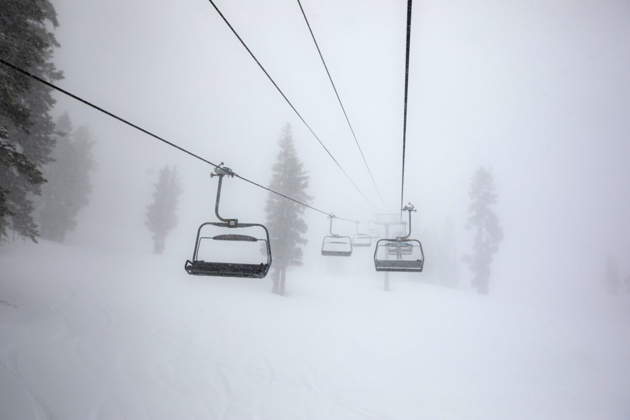
Winds:
The winds are forecast to increase on Saturday with ridgetop gusts up to 70-90+ mph from the SW. The latest model runs are dropping them a bit faster on Sunday, but still gusty over the ridges, but maybe not impacting lifts as much as Saturday.
Tricky Lower Mountain Snow Levels:
As of 7 AM Saturday morning, the snow levels still look to be sitting around 7000 ft. or just above for areas seeing just drizzle. The freezing level forecasts are around 7500 ft. through midday, which would be snow levels close to 7500′ under drizzle and as low as 6500′ under heavier bands of precipitation. By the end of the day, they should fall to around 6000′-6500′ (near the base) under steadier precipitation.
They could hover in that range into Sunday morning with rain mixing in near the base/village under lighter showers or drizzle, but wet snow is possible under heavier bands of snow. That makes a snowfall forecast tricky. Sunday, as the heavier snow is falling, the snow levels should fall below the base elevation.
Total Additional Snowfall Possible through Monday:
Forecasting snowfall near the base will be the best chance to be wrong if snow levels stay a bit lower or higher than forecast. It becomes easier on Sunday as snow levels fall. Subtracting out Friday night’s 5 inches and adding in Monday’s 1-4 inches, the snowfall forecasts haven’t changed much from yesterday.
We could see 18-24 inches of snowfall in total near the base by Tuesday morning, most of that falling by Monday morning, and an additional 2-3 feet near mid-mountain, with an extra ~6 inches up top. The snow ratios start out low with thicker snow on the mountain into Sunday morning. Then drier snow Sunday afternoon through Monday, with some powder on top of the totals.
Tuesday Weather:
The storms clear out with partly sunny skies for Tuesday. Highs in the 30s for the lower elevations and 20s for the higher elevations.
Wednesday – Thursday Systems:
A pair of weaker systems move through from the NNW on Wednesday and Thursday. Most of the precipitation is forecast to stay to our north, with the northern Sierra catching the southern edge of the cold but weak systems.
We may not see much snow south of Kirkwood. Around the Tahoe Basin, a final 1-4 inches of powdery snow is possible as we’ll have low snow levels with these systems. Highs remain in the 30s and 20s. These will be the final systems before we shift into a drier pattern.
Drier Pattern:
Starting on the 9th through next weekend, and into the week of the 12th, high pressure is still forecast to build in over the West Coast. That will begin to block storms from moving into the West Coast, and is forecast to continue for at least 10 days, into the 3rd week of January.
The northerly and easterly flow around the high-pressure center to our north will help to keep colder air flowing into the region through the period. Mostly sunny days, but staying fairly cold.
Long-Range Outlook:
The longer-range models continue to show the ridge retrograding WNW with time, and possibly sitting up near the Gulf of Alaska by the 3rd week of January.
That is still a cold and likely dry pattern. Weaker systems are possible if any. The GFS ensemble extended range model and the European Weeklies model both suggest that the ridge continues to shift west, with the PNA pattern shifting back from positive to negative with a trough over the northern West Coast by the last week of January.
That could reopen the storm door for northern CA, but sometimes these longer-range models are too quick to retrograde the ridges. We’ll continue to watch the trends, and we’ll likely be focused on when storms could return by the end of the week, after the final system in this storm series.
BA
