
Last night we did see colder air on the upper mountains and warmer at the bottom finally, but due to some cloud cover, it never got as cold as the models were showing. Temperatures cold enough for snowmaking looked to be above 8000 ft.
Wednesday Night – Thursday Storm:
We will see some clouds and sun Wednesday morning, increasing clouds and winds into the afternoon. Ridgetop winds gusting up to 60+ mph from the west. Highs in the 40s for the base and 30s for the upper mountain.
The latest forecast model runs have slowed the arrival of showers ahead of the front. We could see a few rain & snow showers reach the mountain during the afternoon, and then we could see showers increase through the evening. Snow levels start out around 7000 – 7500 feet.
Overnight showers should increase with snow levels likely falling below the base after midnight. The heaviest snow could fall during the early morning hours into daybreak as the cold front moves through. Then scattered showers behind the front Thursday morning before clearing during the afternoon.
We could see snowfall totals of 1-4 inches at the base and 4-8 inches on the mountain by Thursday afternoon when the storm ends.
Much colder behind the front for Thursday. Highs only in the 30s at the base and 20s for the upper mountain. We could see the snowmaking fire up tonight along with the natural snow, and that could continue on the mountain through Thursday into Thursday night as the mountains can finally start to build a base and expand terrain.
Friday – Saturday:
Dry but cold for Friday into Saturday with some sun. Highs in the 30s at the base and 20s for the upper mountain. The winds are lighter Friday but increase Saturday with ridgetop gusts to 70+ mph from the southwest by afternoon. That will make for cold wind chills on the mountain. Snowmaking could continue around the clock on the upper mountain.
Sunday – Monday Storm:
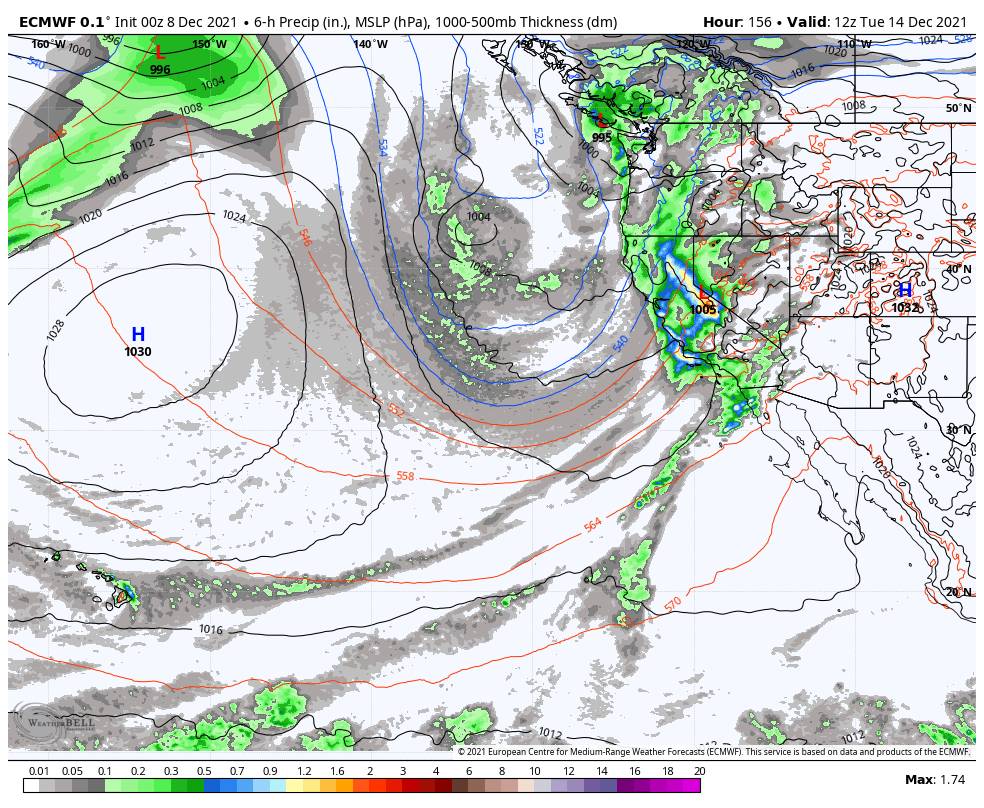
There is not agreement on timing and snowfall amounts among the forecast models yet, but there is agreement and consistency that significant snowfall will happen which is building confidence in a big storm for some time Sunday into Tuesday.
A deep trough is going to dig south along the West Coast Sunday into Monday. The trough will be bringing down more cold air which is going to help keep snow levels low with this storm. Initially, a front moves into northern CA on Sunday and could almost stall. Ridgetop winds could increase to 100 mph.
Some models are showing only light showers making it into the Tahoe Basin Sunday into Sunday night, or and some models are showing steady snow arriving as early as Sunday morning. An area of low pressure will be slowly moving south down the coast through Tuesday. The next wave that rotates in Monday into Monday night is the one that could bring heavy snow.
We will have to iron out the timing and total snowfall amounts as we get closer. The snow levels don’t look to be an issue right now and should stay below the base. Hopefully, that doesn’t change. Upper mountain snow:water ratios could be running at 12:1 or better, with 9-11:1 for the lower elevations. Initial estimates for total snowfall by Tuesday morning are 2-3 feet at the base and 3-5 feet on the mountain.
Tuesday Snow:
The final wave could move in Tuesday with snow continuing. The average of the models suggest that an additional foot or two could be added to the totals, but we need to get the whole storm into the 5-day window tomorrow to get a better idea of potential storm totals through Tuesday night.
Long-Range:
The forecast models diverge some starting next Wednesday. Some forecast models suggest additional systems for Wednesday – Friday, while a few suggest these systems stay to our north. So we will have to see if we will add more snow to the forecast later next week.
The long-range models are showing high pressure for the weekend of the 18th – 19th. We could see sunny and cold weather behind the storms. The mountain may have enough natural snow by then to open the entire mountain if everything works out just right next week, but if not snowmaking should be able to continue.
Then the models suggest we could see troughing again during the week of the 20th. That could allow additional storms into the West Coast. Stay tuned as winter finally gets going!
BA


