Snowfall Report:
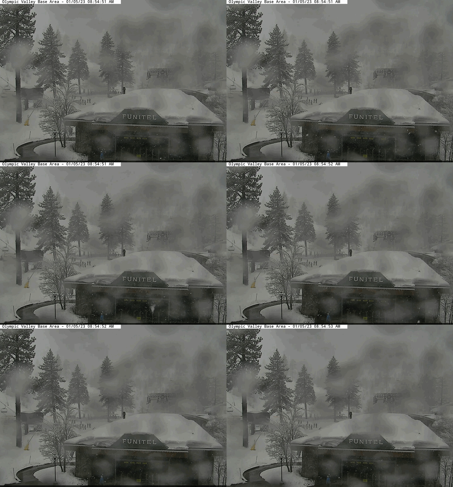
1-3″ fell at the base Wednesday night, and up to 6″ on the upper mountain over the past 24 hours as of 5 AM Thursday. The snow continues to fall as the colder portion of the storm is moving through.
Thursday Storm:
We have snow showers falling around the region Thursday morning. Those continue through the day with a period of steadier snow expected Thursday afternoon-evening as a secondary wave moves through northern CA. Then snow showers become more scattered Thursday night and clear by Friday morning.
Highs in the 30s at the base and 20s for the upper mountain. Ridgetop winds are still gusting up to 60-70+ mph from the southwest Thursday morning causing some lift closures. Gusts should drop to 40-50+ mph during the afternoon.
We are expecting an additional 10-18 inches of snow by Friday morning. That would put us right into the final forecast range for the storm of 1-2 feet.
Friday:
Mostly cloudy skies are expected for Friday as the next storm moves into NW California. The precipitation is expected to mainly stay to our northwest through the day. The winds will be lighter so the skiing should be pretty good. Gusty up to 30-40+ mph from the southwest are possible during the afternoon. Highs in the 30s at the base and 20s up top.
Weekend Storm:
Clouds with winds increasing again Saturday and scattered snow showers are possible by Saturday afternoon. Ridgetop winds increase up to 80-90+ mph from the southwest by midday, which could close some upper mountain lifts. Then they could drop to around 50-60+ mph later in the day. Snow levels could hover near the base through Saturday evening with rain possibly mixing into any showers.
Saturday night into Sunday morning we expect some heavier snow and falling snow levels as the cold front moves through. Snow levels fall below the base. Then lighter snow showers are possible for Sunday afternoon into Sunday evening possibly tapering off briefly overnight. Then increasing into early Monday morning as the next storm starts to move in.
Snow levels rise Sunday night and could be around 7000-7500 ft. by early Monday morning. That means snow that falls to the base through Sunday will likely start to wash away by Monday morning.
Ridgetop winds could continue to be fairly strong Sunday with gusts up to 70-80+ mph from the southwest through Sunday morning and possibly dropping to 50-60+ mph during the afternoon. That could cause some more lift closures Sunday.
Here is the updated snowfall forecast for the weekend storm through Sunday night.
- 5-11 inches at the base. (before a change to rain Sunday night)
- 11-15 inches at the mid-mountain elevations.
- 15-21 inches up top
Monday – Tuesday Storm:
The next storm moves in by Monday morning and lasts into Tuesday evening. This storm is warmer and wetter. Snow levels look to peak out around 7500-8000 ft. Monday afternoon/evening. Then slowly falling Monday night down to around 7000 ft. by Tuesday morning, and to the base by midday. They continue to fall into Tuesday evening.
Heavy rain and high-elevation snow along with strong winds are expected for Monday. Ridgetop winds gusting between 80-100 mph, which should close down quite a few ski lifts. Not looking like a good day to ski. We could see some flooding at the base and avalanche dangers on the upper mountain. Rain turns to snow Tuesday but not until after most of the precipitation fall for the base.
Tuesday the winds will eventually come down and the skiing could be better by afternoon but a lot of water at the base and avalanche control and digging out needed for the upper mountain. Here is the initial snowfall forecast for this storm through Tuesday night.
- 3-7 inches at the base. (after a change to snow on Tuesday)
- 7-36 inches at the mid-mountain elevations. (a big range as rain turns to snow higher up first)
- 36-44 inches up top.
Long-Range:
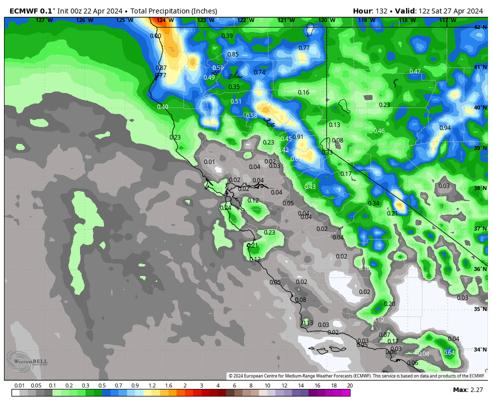
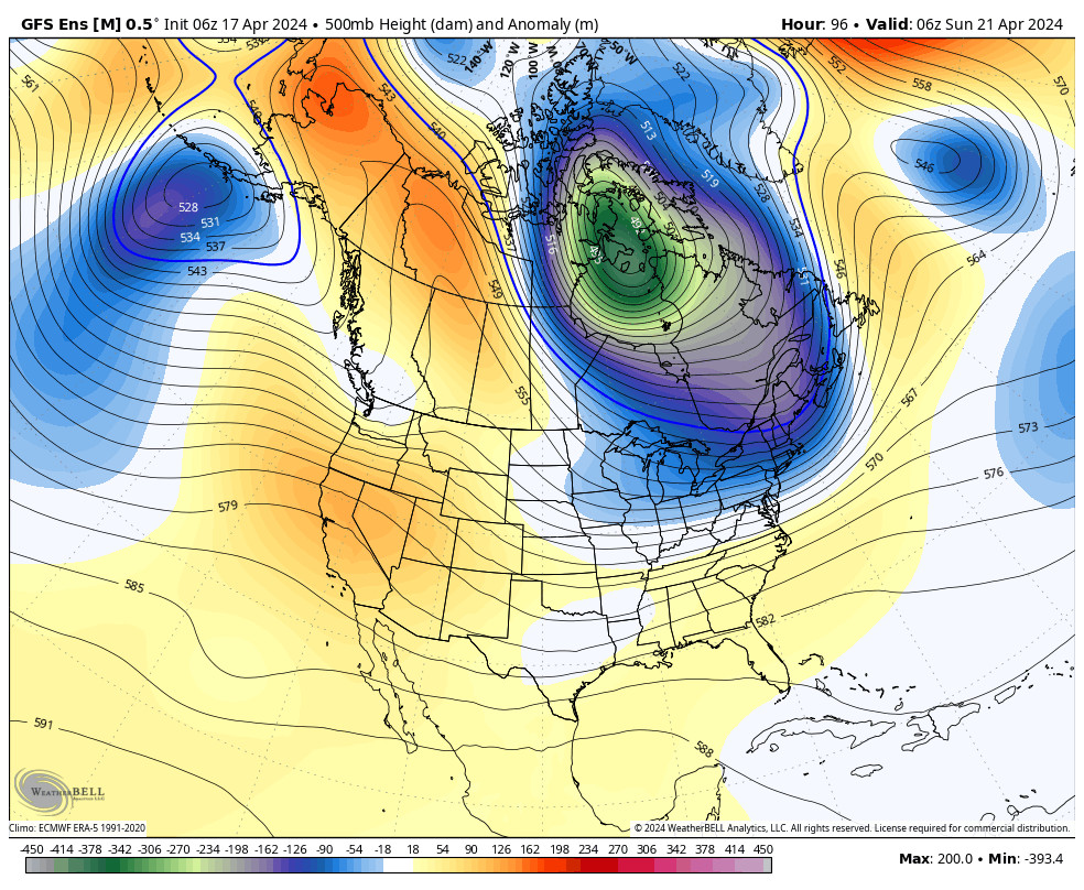
The active pattern is expected to continue through the long range. The storms don’t look as strong later next week. The details are fuzzy on the storm strengths right now as the models are trying to figure out what will happen to the storms as they encounter high pressure to our east.
Right now we are expecting storms to continue every couple of days or so through the 3rd week of January. the storms may become colder in general beyond mid-month. More details as we get closer to each storm.
BA


