

Snowfall Reports:
The weak cold front that moved through overnight dropped what we were expecting, an inch at the base and 2 inches up top. A quick and small refresh of the slopes.
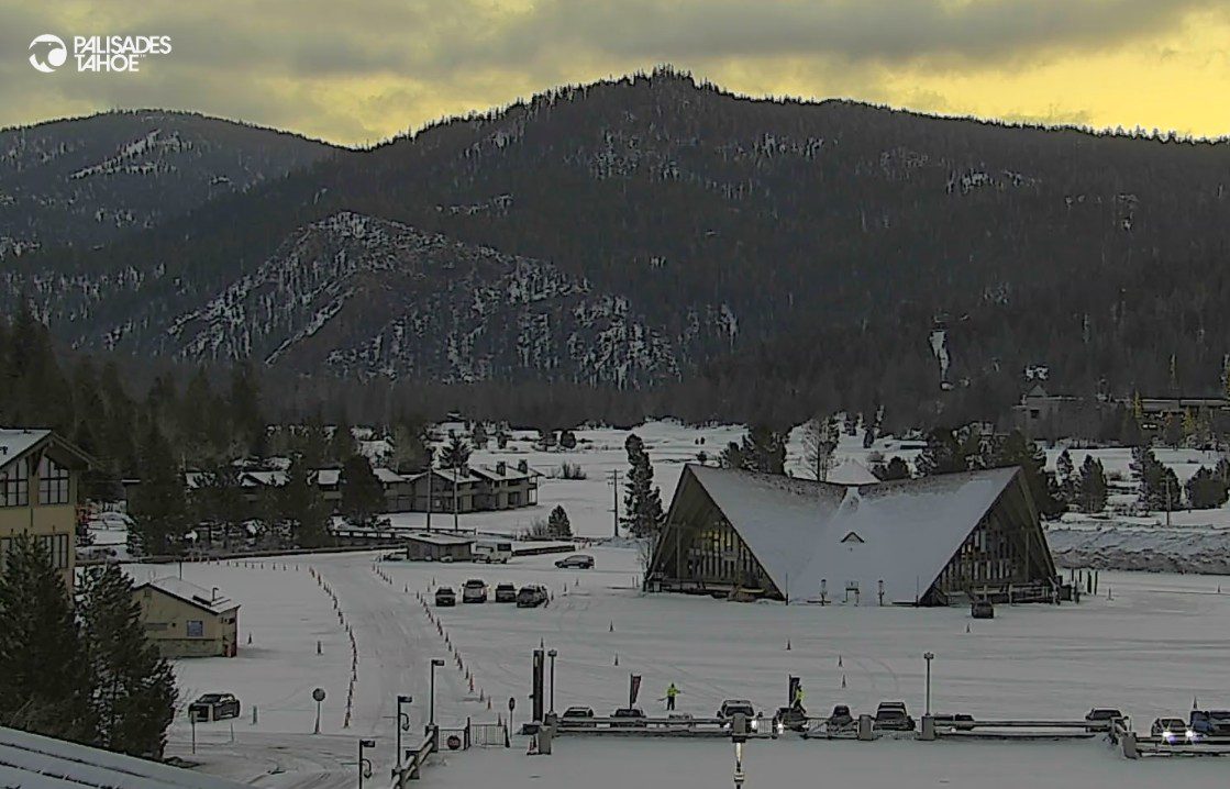
Clouds & Slight Warming Trend:
Unfortunately, that was the only measurable snow we were expecting during this month+ dry period that will last through the first week of February. The storms will continue to try to push into the West Coast through the weekend during this period, where high pressure is just barely blocking storms from the northern Sierra.
We start out a bit colder on Wednesday behind the weak cold front, with highs in the 30s to near 40 degrees on the high-end down near the base. Then warming a bit into the weekend with highs into the 40s, and nearing 50 degrees for the lower elevations near the base.
Clouds will be around with the storms close to the coast. We may even see a stray shower reach us Sunday night. But overall expecting clouds and sun with a dry pattern. We could also see some breezy winds on Sunday with 50+ mph gusts from the SW over the ridges as the storm nears the coast.
Next Week:
High pressure is forecast to strengthen and shift more over the West Coast next week. That will continue our dry pattern and keep any storms even farther off the coast. We should see fewer clouds and mostly sunny skies through the end of next week. Highs remaining in the 40s to near 50 degrees at the base.
Long-Range Outlook:
The dry pattern should last through at least the 8th of February. The long-range models continue to show high pressure starting to weaken beyond the 8th, and to start shifting NW off the coast by the 10th.
Some of the latest model runs show some light precipitation reaching us as early as the 9th, with some undercutting moisture under the ridge into CA or from the north as a trough starts to dig into the West. We’ll keep an eye on any storms trying to show up as the pattern starts to shift during the 2nd week of February.
The longer-range models continue to suggest that the ridge in the northeast Pacific could shift a bit farther NW towards the Aleutian Islands by mid-February into the 3rd week of February, with a broader trough backing over the West Coast.
If that trend, which has been there for a while, continues, it could open the door to wetter storms developing along the West Coast and dropping into the west side of the trough. Until then, likely another 10 days of dry weather, and then hopefully improvement in our pattern by mid-month.
BA
