
The Next 7 Days:
The latest forecast model runs continue to show a dry pattern for CA for the next 7 days as high pressure sits over CA.
We could see a few clouds Saturday and then gusty winds Sunday into Monday along with slightly colder temperatures. Ridgetop winds Sunday could gust from the southwest up to 40+ mph, and then the northeast up to 70+ mph Monday. Highs in the 40s at the base and 30s up top.
Starting Tuesday the winds should relax and highs warm back into the 50s at the base and 40s on the mountain. Another system moving through to our north by Thu-Fri could bring clouds and gusty winds again along with slightly colder temperatures.
Long-Range:
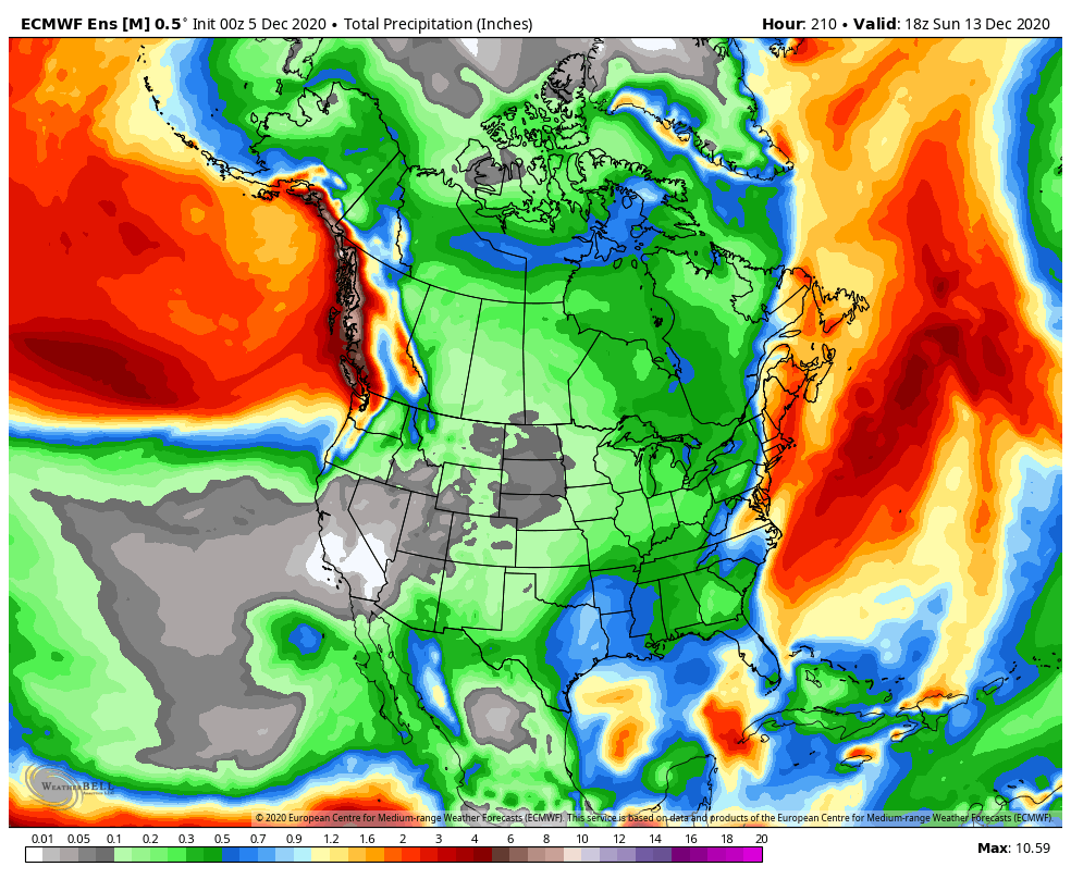
Another system could brush by to our north around the 12th-13th. That system could also bring some gusty winds and cooler temperatures. No signs of any storms bringing more than a few flakes at best through the 14th
We may see a better chance for at least some weak/moderate storms to return during the 3rd week of December into the last week of the month. The long-range models are tracking a storm around the 15th. Let’s hope we start to see the storm door open the 3rd week of December through the end of the month.
I will continue to monitor the long-range patterns and we will let you know right away when storms are inbound.
BA


