
Monday – Sunday:
Lighter winds, sunny skies, and highs into the 40s for Monday.
A cold front moving through to our east Tuesday will cool us back into the 30s for highs on the mountain. Gusty northeast winds up top gusting up to 50+ mph making it feel even colder. Marginal speeds that could or could not affect lifts up top.
Wednesday through Sunday we should see mostly sunny skies and highs warming back into the 40s on the mountain. We could start to see breezy winds again by next Sunday as the pattern starts to shift.
Long-Range:
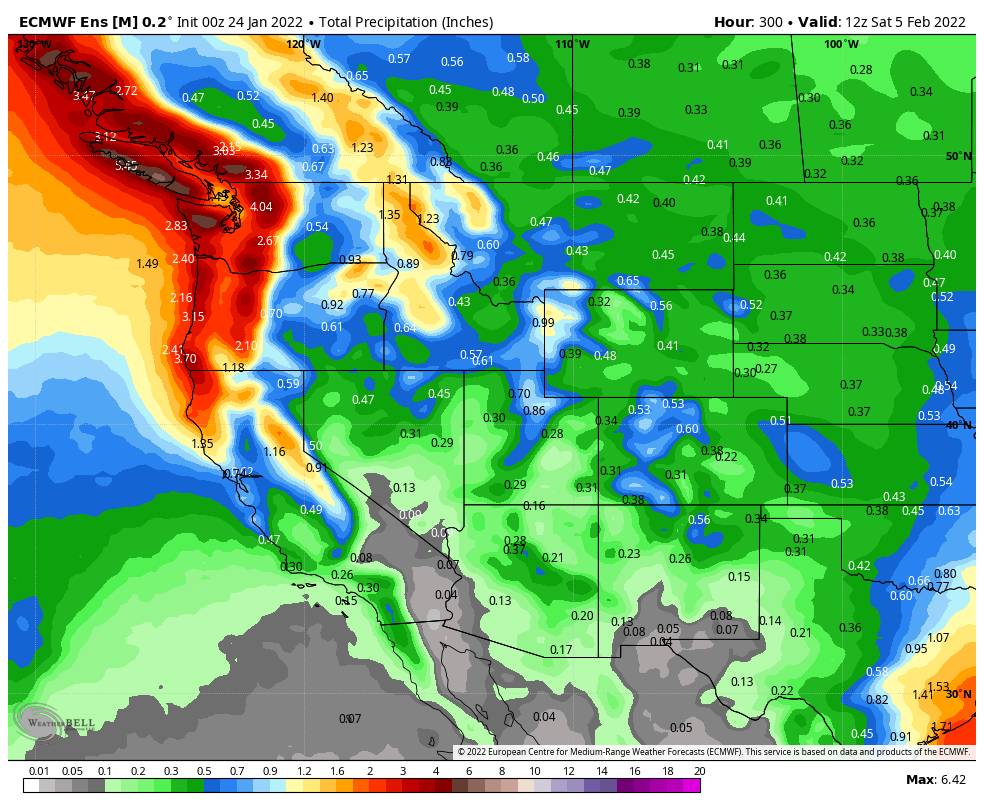
Our weather pattern is still forecast to shift the last day of January into the first week of February, with the high-pressure ridge responsible for the dry pattern shifting off the West Coast, and a trough digging into the West. That could open the storm door to a weak system or two and colder air.
The latest forecast model runs suggest we could see the first weak system moving in Monday the 31st, and then another weak system possible next Wednesday – Thursday.
It’s too early to look at any details of potential storms this far out, but we will look at more details as we get closer later this week.
BA


