

Thursday – Friday Weather:
We have dry and mild weather through Friday, with highs into the 50s for the lower elevations and 40s for the higher elevations. We will see sun and clouds as clouds stream into the West Coast from the system sitting off the coast.
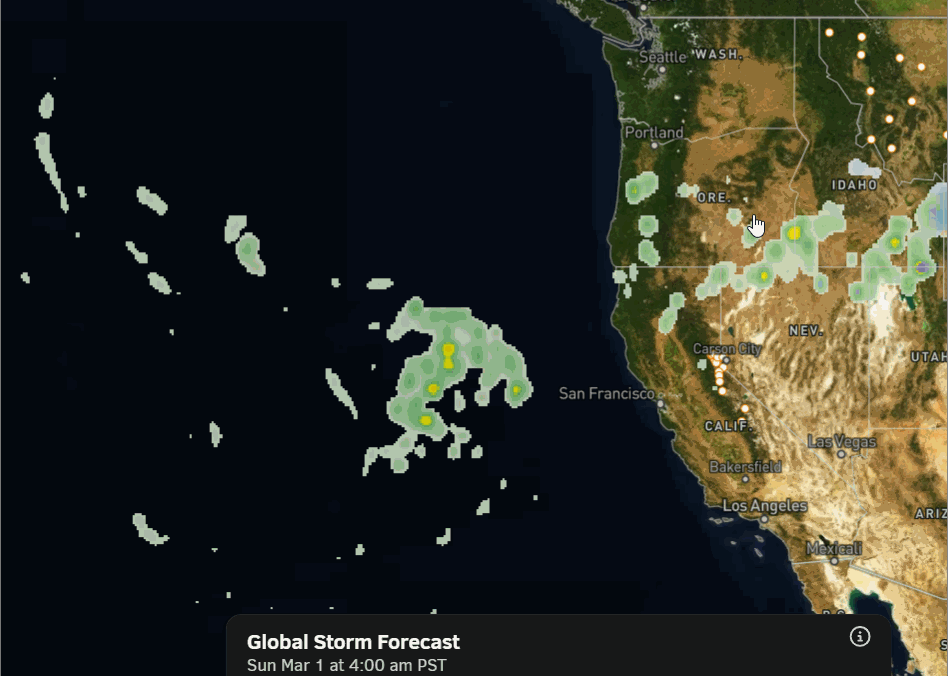
Saturday – Monday Unsettled Weather:
Saturday should be mostly dry, but by the end of the day, moisture from that system off the coast, much weakened by then, will start to push into northern CA. We could see some scattered rain showers by the end of the day. Highs still in the 50s.
Sunday, we could have more clouds than showers with breezy winds and cooler temperatures. Highs drop into the 40s for the lower elevations and 30s for the higher elevations.
Sunday night into Monday, we could see a better chance for more showers on the backside of the low departing to the east along with colder temperatures. Highs drop into the 30s on the mountain to near 40 degrees down at the base, and snow levels could drop close to the base.
The snow levels start around 9000 – 9500 ft. Saturday evening and stay there into Sunday evening. Then fall near the base on Monday. 1-3 tenths of an inch of precipitation could equate to a dusting to an inch of snow on the lower mountain by Monday evening, with up to 2+ inches above 8000 ft.
Tuesday:
Tuesday should see partly-mostly sunny skies with highs in the 40s for the lower elevations and 30s for the higher elevations.
Long-Range Outlook:
The first week of March, and likely through the 2nd week, a high-pressure ridge is expected to sit near the West Coast over the eastern Pacific. That blocks big storms from moving into the West Coast, but keeps us on the cooler side of the ridge. Troughs will try to dig south into the West at times, but likely staying east of the Sierra.
As troughs try to dig south, east of the ridge, into the West, storms dropping into the west side of the trough could brush us with light precipitation. The latest model runs still suggest this could happen around next Wednesday, the 4th, and then around the 7th.
These troughs could bring in some cold shots of air, with highs possibly remaining in the 30s down to the base between the 4th – 8th. Gusty winds are likely with any systems passing by as well. With the ridge too close to the coast, we likely get a dusting up to a couple of inches of snow with each system at best.
We’ll continue to watch the trends closely to see if more than that could become possible.
BA
