
Snowfall Report:
7 inches of snow was measured at mid-mountain as of 5 AM Friday. That is snow that fell earlier Thursday night before a change to rain that packed down that snowfall. There is likely a lot more above 8000 ft. above the measuring station, but winds are also gusting well in excess of 100 mph there.
Friday – Friday Night:
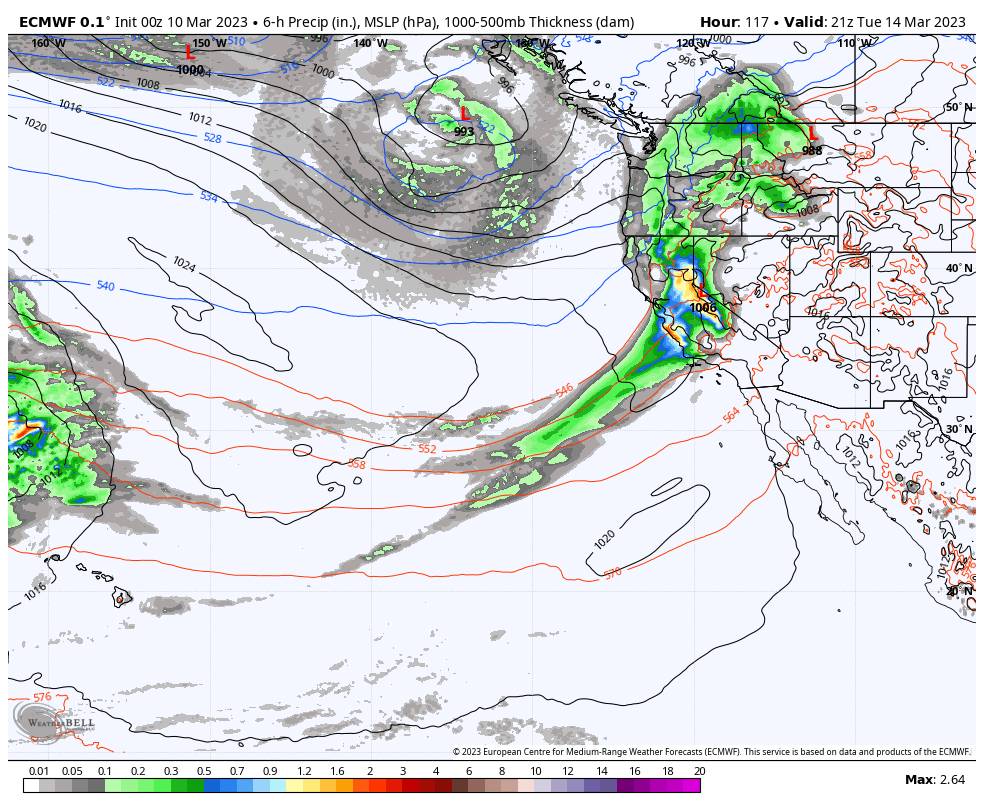
The forecast has changed a little with the heavier precipitation pushing south of the area as a cold front pushes in from the north. We will see scattered light-heavy showers Friday through Friday night, with snow levels falling a bit lower. Strong winds over 100+ mph Friday with highs in the 30s.
Snow levels are up around 7500-8000 ft. Friday morning. The latest model runs show them falling through the day to around 6000-7000 ft. by evening, and to 5200-6200 ft. by early Saturday morning. That means we should see rain turn to snow at mid-mountain during the day and at the base overnight.
With the heavier precipitation shifted to our south the snowfall forecast has dropped a bit. Here is the updated snowfall forecast for Friday through Friday night.
- 4-8 inches at the base.
- 8-15 inches at mid-mountain elevations.
- 14-19 inches on the upper mountain above 8000 feet.
Saturday – Sunday:
The moisture continues to stream into the Sierra Saturday through Sunday night along the stalled cold front over the area. The showers should increase and become steadier at times. Winds should be lighter both days but still gusting up to 50-60+ mph up top from the west-southwest. Highs in the 30s.
Snow levels could fluctuate between the base and 7000 ft. through the 2-day period, with heavier bands of precipitation helping to drag them lower at times. That means a mix of rain and snow near the base. Above 7000 ft. we should see mostly all snow but wet/thick snow. Here is the updated forecast for snowfall for Saturday through Sunday night.
- 13-19 inches at the base.
- 18-24 inches at mid-mountain elevations.
- 20-28 inches on the upper mountain above 8000 feet.
Monday – Wednesday:
Rain and snow showers should continue Monday into Monday night. Then another wet storm moves in by Tuesday morning. Then winding down Tuesday night with showers possible into Wednesday morning before clearing later in the day.
Winds will increase again on Monday with ridgetop gusts up to 60-70+ mph and then down to 50-60+ mph Tuesday. Highs in the 30s. Snow levels may continue to fluctuate between the base and 7000 ft. through Monday night with only a few inches of snow expected.
Snow levels rise back up to 7000-8000 ft. Tuesday with the heavy precipitation pushing back in. Then falling back down near the base by early Wednesday morning near the end of the storm. Most of the snow forecast for the base is at the end. A boom/bust forecast for the mid-mountain depending on the timing of the snow levels. Heavy wet snow above 8000 ft.
Here is the updated forecast for total snowfall expected for Monday through Wednesday morning.
- 3-7 inches at the base.
- 7-30 inches at mid-mountain elevations.
- 29-36 inches on the upper mountain above 8000 feet.
Long-Range:
We could see a break from Thursday into next Friday the 17th, with partly-mostly sunny skies and highs into the 30s and near 40 degrees at the base.
Then we could see more storms into the last week of March. More details as we get closer.
BA


