Friday Weather:
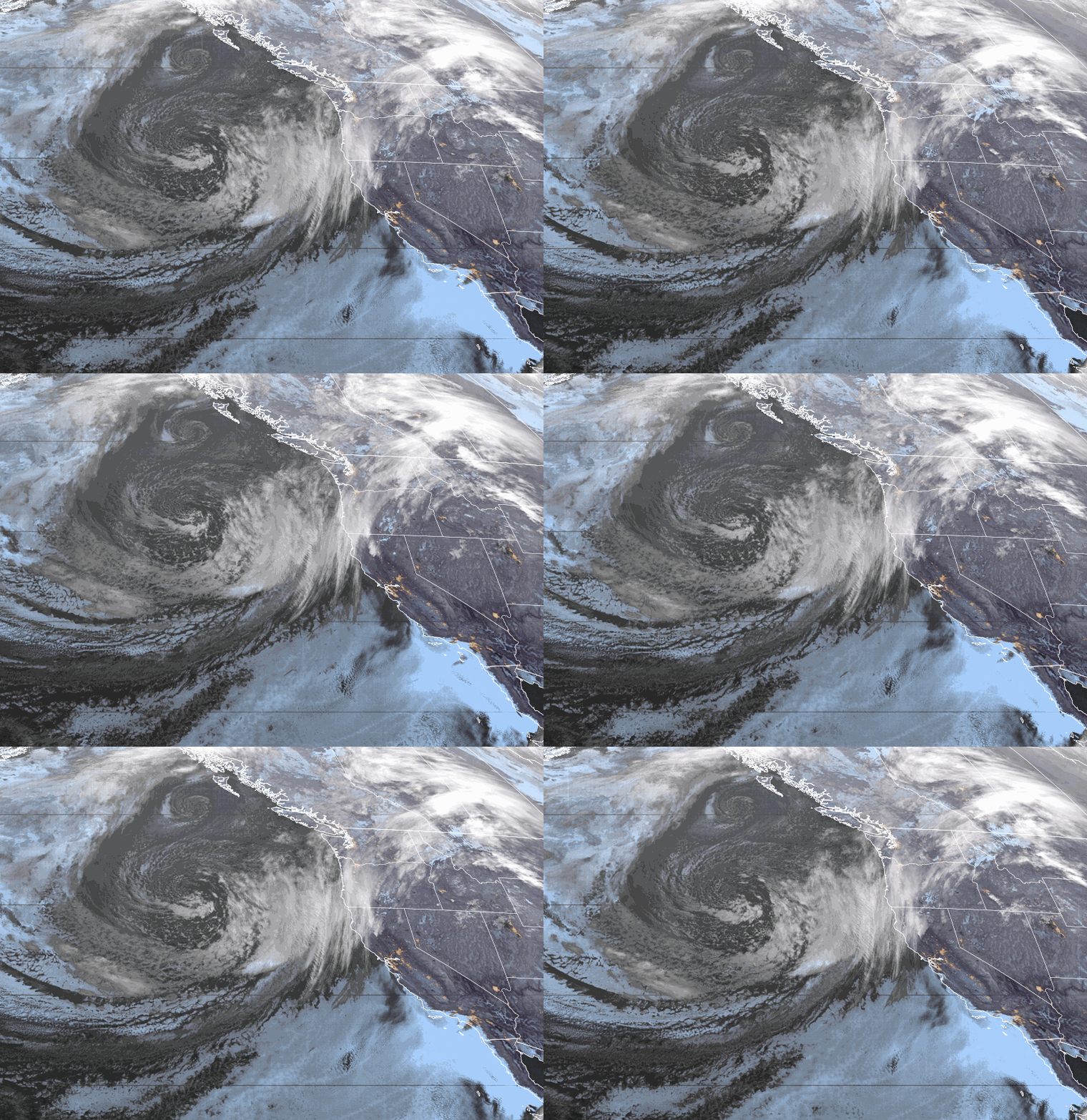
We are starting the day with sunny skies on Friday, but that will change as clouds from the approaching storm increase through the afternoon. Winds will also increase with ridgetop gusts from the south up to 60-70+ mph by the end of the day, likely closing some ski lifts early.
Highs in the 50s for the lower elevations and 40s for the higher elevations. We could see some rain showers reach the mountain by afternoon.
Rain & Snow Showers thru Sunday:
Only light showers are expected through Friday night. As the low moves inland into CA on Saturday it will push steadier precipitation on the east side closer to the Sierra continuing into Saturday night. As the low moves east on Sunday some wrap-around moisture on the north side of the low may favor the east side of the Sierra.
We could see gusty winds again Saturday, but they should slowly come down through the afternoon. Highs into the 40s for the lower elevations and 30s for the higher elevations. That will come earlier in the day before colder air works in later in the day. Then 30s for highs on Sunday.
The snow levels start out very high on Friday, up above 9000 ft. as showers move in during the afternoon. Then only lowering to around 8000-8500 ft. by Saturday morning. The latest model runs are lowering the snow levels a bit faster Saturday afternoon, down to around 6000-6500 ft. by 5 PM.
That means rain turns to snow during the afternoon and down to the base by evening. Saturday night snow levels could dip as low as 4000-4500 ft. before rising back up to 6200-6700 ft. by Sunday afternoon. By Sunday night we could see snowfall totals of around 1-3 inches at the base, 2-5 inches near mid-mountain, and 3-7 inches up top.
Drier Pattern:
High pressure builds in starting on Monday and lasting through the end of next week. We should see mostly sunny skies each day. There is a cold trough dropping into the northern Rockies which may help to keep temperatures from getting really warm. Highs in the 50s for the lower elevations and 40 for the higher elevations.
Long-Range Forecast:
We may have a better chance of seeing some warmer temperatures later next week into the weekend of the 20th-21st.
The long-range models still suggest that a trough digs into the West Coast during the last week of April. That could bring some cooler air into CA and open the door to weak systems. All we need is a little moisture for afternoon showers and thunderstorms to develop. We’ll keep an eye on that.
BA


