

Monday Weather:
Mostly sunny for Monday with highs into the 40s for the lower elevations and 30s for the higher elevations. Ridgetop winds from the SW increasing with gusts up to 50-60+ mph by late afternoon.
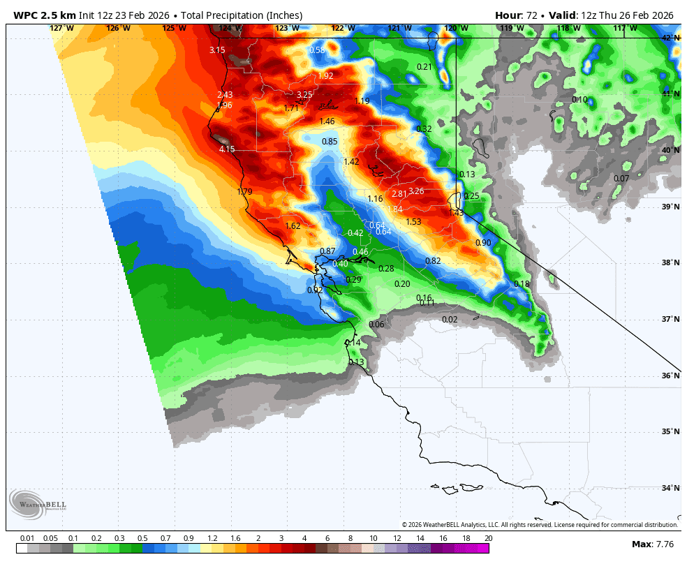
Tuesday – Wednesday Rain:
The latest model runs show rain pushing in over the northern Sierra between 10 PM – 1 AM Monday night, with heavy/steady rain through Tuesday into Tuesday night. Then rain showers on Wednesday morning, with clearing expected during the afternoon.
Highs in the 30s on the mountain and 40s for the lower elevations near the base. Ridgetop winds increasing with gusts up to 80-90+ mph, likely closing some upper mountain ski lifts. Winds up to 50-60+ mph on Wednesday as they decrease.
Moisture will be streaming in from the southwest all the way back to just east of Hawaii. That moisture source will bring in mild air and high snow levels. The latest model runs suggest that snow levels could start near 9000 ft. Monday night, but then rise up to around 10,000 ft. on Tuesday, back close to 9000 ft. Tuesday night, and finish near 9000 ft. Wednesday morning.
That means mostly all rain up to the top of the mountain, with 2-3 inches of rain falling by Wednesday afternoon. The deep snow on the ground doesn’t have a lot of moisture in it after the cold storms last week. So it should be able to absorb most of the rain. But it will be slushy and wet.
Thursday – Saturday Weather:
Mostly – partly sunny with lighter winds and milder temperatures Thursday into the weekend. Highs in the 40s on the mountains with 50s possible near lake level. Ahead of a system trying to move inland Saturday night, we could see increasing winds on Saturday with ridgetop gusts from the SW up to 60-70+ mph by afternoon.
Rain & Snow Showers Possible:
Saturday night, the remnants of the low-pressure system stuck off the coast all week is forecast to try to push inland. That could bring some showers to the northern Sierra Saturday night into Sunday. The amounts look pretty light currently if we see any showers.
Snow levels could start above 8000 ft. Saturday night and may fall as low as 7500 ft. on Sunday. Highs drop into the 30s for the upper mountain and 40s for the lower elevations, and the winds drop as well. Light snow accumulations are possible up top.
Some of the long-range models suggest that a cut-off low near SoCal next Monday could bring another chance of showers, with mountain snow showers. We’ll keep an eye on these chances for showers for the weekend into next week as we get closer.
Long-Range Outlook:
The longer-range models continue to show higher heights over the West through the 1st 10+ days of March, with the bigger storms and wettest pattern being well to the north in Canada. But the high pressure doesn’t look to be overly strong, amplified, or anchored.
That suggests that we could see weak systems bring us rain and snow showers at times. Some models are completely dry, and the others don’t agree on when we could see weak systems brush us. That pattern should keep us from seeing any big warmups. Highs in the 40s and 50s at times for the lower elevations, and 30s with 40s at times for the upper mountain.
What we do know is that no big snowstorms are in the forecast over the next two weeks, nor the pattern that would usually produce them. We’ll continue to watch the trends through March to see if we could get another good snowstorm or storm series.
BA
