

Mild thru the Weekend:
It’s Thursday morning, and once again we have temperatures below freezing near the base, and 40s up on the mountain. That continues to limit overnight snowmaking to the base of the mountain.
We will be stuck in a dry and mild pattern through the weekend, with highs into the 50s, with 40s on the peaks. Overnight lows will continue to be mild, continuing to limit overnight snowmaking.
Possible Rain Next Week:
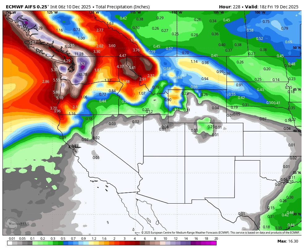
The storm track will be aimed at the Pacific NW next week, and the trend over the last few days has been farther south into northern CA, and over the past 24 hours, a bit farther south into the northern Sierra on most models. At least with a few rain showers, with the best chance on Tuesday.
It will be interesting to watch if the trend continues to be slightly farther south as we get closer to next week. But only interesting so that we have some precipitation and slightly cooler temperatures, not because we might get significant snowfall.
Looking at the snow level forecasts, most models are keeping snow levels up around 9000 ft. next week. So we will likely see only some rain on most mountain terrain if we do get some precipitation. We’ll continue to watch the trends for possible rain each day as we get closer.
Long-Range Outlook:
Any good news still looks to be 10+ days away, but we are starting to see some consistency and agreement among the models, and an interesting MJO signal that could add to the slightly increasing hope in some snow before Christmas.
I don’t know if two days in a row of a pattern shift would technically be considered “consistent”, but it’s more consistent than we’ve seen on the long-range models in a few weeks. Yesterday, we talked about some of the long-range models showing a trough digging into the West Coast between the 20th -25th, and now it’s the majority of them.
The active phase of the MJO may emerge in the Indian Ocean next week, which may support the long-range models showing a deeper West Coast trough Christmas week, starting around the 20th – 21st. The ensemble mean models are in better agreement this morning, that we could see the storm track dig farther south with a wetter pattern for the northern Sierra.
Yes, yes, I know, “BA, it’s been showing that beyond 10 days for weeks”. Ugh, yes, you’re right, and that’s why we will stay in a skeptical mindset until we get this into the 6-10 day window. Even then, it’s not a lock, and you shouldn’t tell everyone around town, “BA said a Christmas Miracle snow dump is coming”, until we get this into the 5-day window.
Let’s hope we see the shift Christmas week. We’re still hanging onto a lot of Hope (“a feeling of expectation and desire for a certain thing to happen”). I’m hoping that hope is not just hope and that the models and science will take over the hope. Or something like that…pray for snow.
BA
