
Saturday:
A mix of clouds and sun is expected through most of the day on Saturday along with gusty winds. Ridgetop winds are gusting from the southwest up to 60+ mph early Saturday, and are expected to increase to 60-70+ mph from the west by the afternoon, which could affect some upper mountain lift operations. Highs into the 30s and near 40 degrees at the base.
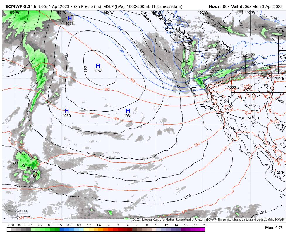
Saturday Night – Monday Systems:
A weak system drifts south into the northern Sierra Saturday night with a few scattered snow showers possible. We could see a few snow showers pop up over the mountain before dark. Snow levels overnight could start the base and fall to 5000-5500 ft. by early Sunday morning. Only expecting a dusting to an inch of snow on the mountain by Sunday morning.
Sunday we could see a few scattered snow showers. The winds are still expected to be gusting up to 60-70+ mph from the west through the day. That could continue to affect some upper mountain lifts. Highs in the 30s. Snow levels could hover near to just above the base for any passing showers. We could see another dusting to an inch of snow.
Then we expect some steadier snow showers Sunday night into Monday morning as the next system with slightly more moisture moves through. Scattered snow showers should diminish through the day on Monday and clear out by Monday night. It will feel noticeably colder behind Sunday night’s cold front. Highs are only in the 20s for Monday. Breezy winds gusting up 30-40+ mph over the ridges, but much lighter than over the weekend.
Snow levels drop Sunday night into Monday with the steadier snow showers. That will bring some drier and powdery snow to the mountain and will help to fluff the snowfall from the low precipitation amounts. Here is my updated snowfall forecast for the two-day period from Saturday night through Monday.
- 3-7 inches at the base.
- 4-8 inches at mid-mountain elevations.
- 5-9 inches up top.
Tuesday – Wednesday:
Tuesday a final weak system could move through with a few clouds and scattered snow showers possibly popping up over the mountains during the afternoon-evening. It stays chilly with highs in the 30s.
Long-Range:
By Thursday into next weekend, high pressure is still forecast to build over the West Coast with a drier and milder pattern building in. The ridge could stay over the West through the 12th-13th of April. Mostly sunny skies are expected most if not every day. Highs warming into the 40s Thursday-Friday, the 50s for Easter weekend, and possibly into the 60s at the base by Monday the 10th.
The long-range models also continue to show a possible shift in the pattern by mid-month, possibly starting around the 13-14th, with the ridge being replaced by lower heights and a trough near the West Coast. That would bring back some cooler temperatures and would open the door to an unsettled pattern returning.
It will be mid-April and going later into spring. So it will be hard to get another significant storm or snow. We could see the chance for weak systems return. Significant snowfall or at least several inches isn’t out of the question in April, so we’ll watch out for those just in case they try to sneak in.
BA


