Snowfall Report:
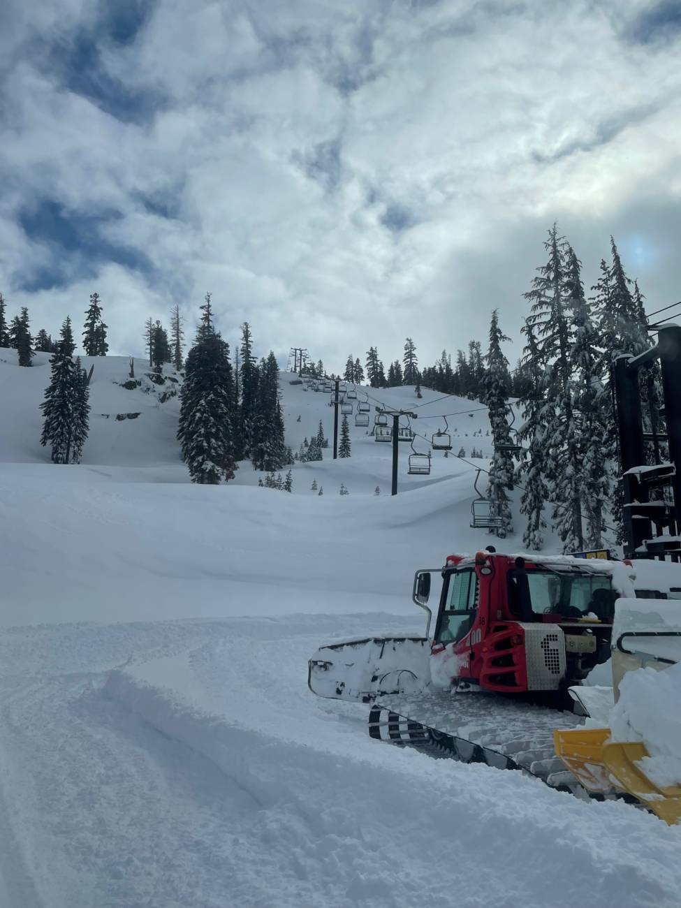
Another 7 inches of fresh powdery snow fell on the mountain Wednesday. That brings the 2-day storm total to 11 inches up top and 5 inches at the base. The season total is 263 inches already. That is around 219% of the average for the date!
Thursday – Friday:
Partly sunny for Thursday with highs in the 30s at the base and 20s up top. Gusty west winds increasing into the afternoon with gusts up to 60+ mph up top possible, possibly affecting some upper mountain lift operations. A system dropping down from the north Thursday night could bring a few snow showers later Thursday afternoon into Friday morning with a dusting to an inch or two possible at best.
Friday we should clear into the afternoon with some sun. Highs around 30 degrees at the base and 20s up top. Gusty northwest winds may continue to gust up to 50+ mph up top.
The Weekend:
Saturday and Sunday we expect mostly sunny skies during the day. Highs into the 30s at the base and 20s up top. Saturday the winds look to be lighter. Then they could increase again Sunday from the southwest, gusting up to 70+ mph by afternoon up top, possibly affecting some upper mountain lift operations.
Monday – Wednesday:
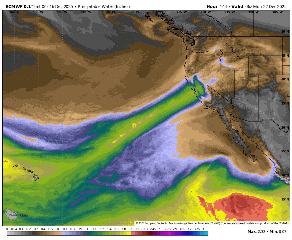
Monday we could start with partly sunny skies and then increasing clouds later in the day as the next storm approaches. Highs are still in the 20s and 30s. The winds could continue to increase from the southwest gusting up o100+ mph up top by afternoon. That will likely close some upper mountain lifts.
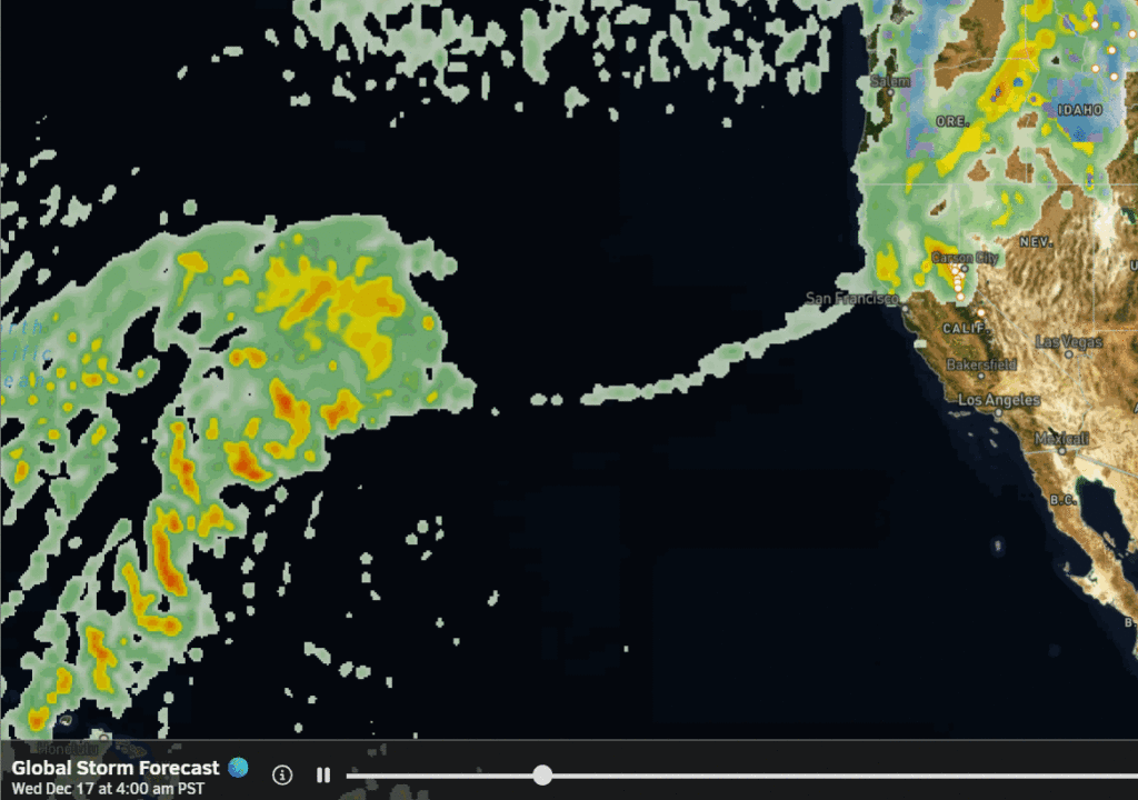
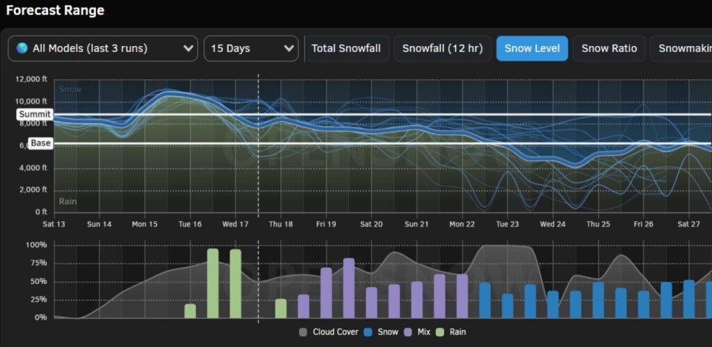
Monday night through Wednesday the next storm is forecast to move in. The details are still not clear as the models have been trending the storm farther north with less precipitation for the Tahoe Basin. We will continue to watch the trends with better details over the next few days.
As of right now, it looks like we could see snow Monday night through at least Tuesday night, with at least several inches of snow if not more. We could also see strong winds through the period. Some forecast models end the storm by Wednesday and others keep the snow going, so we will see where the trends go.
Long-Range:
We could see a break next Thursday. Then another storm is possible next Friday into Saturday the 8th.
Going into the 2nd week of January the forecast models suggest we could see a drier pattern, at least for a little while. That is subject to change as we get closer…
BA


