Skip to content
Palisades Tahoe Logo Palisades Tahoe Logo Palisades Tahoe Logo
Explore
Main Menu
  • Explore Palisades Tahoe
  • Base to Base Gondola
  • Our New Name
  • Explore Legendary Lifts
  • Palisades Tahoe Blog
  • About Lake Tahoe
  • About Us
Plan Your Visit
Main Menu
  • Tickets & Passes
  • Lodging
  • Lessons & Guides
  • Deals & Packages
  • Rentals & Demos
  • Travel Here
  • Getting Around
Mountain Information
Main Menu
  • Snow and Weather
  • Lift and Grooming Status
  • Webcams
  • Hours of Operation
  • Trail Maps
  • Parking & Road Conditions
  • Snowfall Tracker
Events & Activities
Main Menu
  • Events Calendar
  • Activities
  • Dining & Apres
  • Shopping
  • Things To Do In Lake Tahoe
  • Groups, Meetings & Weddings
  • Ski & Snowboard Teams
IKON PASS HOLDER LODGING DISCOUNT

Ikon Pass holders save up to 20% on slopeside lodging at The Village at Palisades Tahoe.

SLOPESIDE LODGING
Icon / FlashCreated with Sketch.
View All Offers
  • Weather

Nice Weather Fri – Sat, Windy Sunday, Much Colder Next Week

  • Feb 18, 2022
  • 8:42 am

Friday – Sunday:

High pressure is over the region continuing a dry pattern through Sunday. Nice weather Friday – Saturday with mostly sunny skies and lighter winds with highs in the 40s and approaching 50 degrees at the base.

Sunday a cold trough is approaching from the north. We could cool a few degrees back into the 40s and see increasing west winds. Ridgetop gusts up to 70+ mph could affect some lifts by afternoon.

Monday – Tuesday Night Systems:

A cold trough digs down from the north Monday bringing colder air and the chance for snow showers. Highs drop into the 30s at the base and 20s up top with breezy northwest winds. Right now amounts look light with the front Monday morning with a dusting up to an inch of snow mountain.

We could see a break between systems Monday afternoon with some clearing. But then another cold & weak system drops down through the Sierra Monday night through Tuesday night. The best chance for any accumulating snow looks to be during the day Tuesday. It’s cold again Tuesday with highs in the 30s at the base and 20s up top with breezy north winds.

The latest forecast model runs suggest enough moisture for 1-3″ at the base and 2-5″ of powdery snow on the mountain with the 2nd system through Tuesday night.
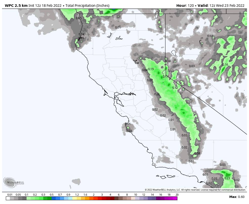
Long-Range:

We could see a break in the storms with a drier pattern again Wednesday through the end of next week. It should still be cold Wednesday with highs in the 30s and then warming slightly through the end of the week.

Another weak system could move through the last 2 days of the month, but no BIG storms on the horizon still. Hopefully, the pattern opens up to wetter storms as we go into March. We’ll continue to watch the trends. 

BA

lake tahoe weather palisades tahoe weather forecast snowfall forecast
Bryan Allegretto
Bryan Allegretto

Share this article:

Recent Posts

  • Weather ·
  • March 21, 2023·

Weak Systems & Snow Showers thru Sunday

Tuesday Storm: The next storm pushes snow showers back in by later Tuesday morning, with steadier snow through Tuesday afternoon.…
Read more
  • Weather ·
  • March 20, 2023·

More Weak Systems Tuesday-Friday

Snowfall Reports: No real surprises with the weak storm that moved through on Sunday. We were expecting 3-11 inches from…
Read more
  • Weather ·
  • March 19, 2023·

Two More Storms Sun & Tue

Sunday Storm: Snow showers are moving in Sunday morning, and will continue through the day before becoming more scattered Sunday…
Read more

Social

Instagram Twitter Facebook Youtube

Contact

   Email Us
   1.800.403.0206

Our Partners

U.S. Forest Service Logo
1960 Olympic Valley Road
Olympic Valley, CA 96146

©2022 Palisades Tahoe

Alterra Mountain Company
  • Privacy Policy
  • Terms of Service
  • Photo Upload Terms of Use
  • Accessibility
  • Do Not Sell My Personal Information
  • Privacy Policy
  • Terms of Service
  • Photo Upload Terms of Use
  • Accessibility
  • Do Not Sell My Personal Information