Snowfall Report:
One inch of new snow fell from the snow showers on Tuesday afternoon, which is what we expected from the weak system moving through.
Wednesday – Monday:
We are going into a dry pattern starting Wednesday. It will still be cold with mostly sunny skies and highs in the 20s. Then warming into the 30s for Thursday into Friday. A cut-off low dropping south off the coast Friday could bring us a few clouds.
Then back to mostly sunny skies for the weekend into Monday with highs warming into the 40s. It should be a beautiful weekend.
Long-Range:
We could start the day with mostly sunny skies Tuesday with highs still in the 40s. Then we could see increasing clouds and winds later in the day ahead of an approaching cold front.
Tuesday night into Wednesday we could see the cold front move through with several inches of snow and gusty winds. Highs could drop into the teens by next Wednesday the 22nd.
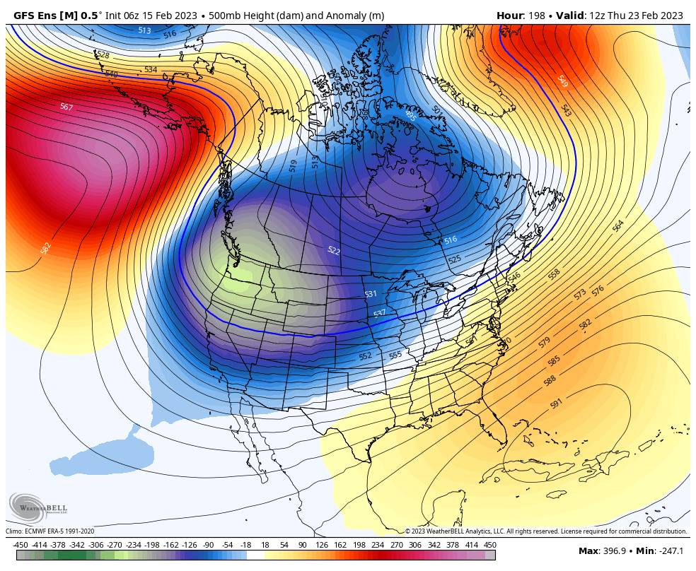
The long-range models suggest that a slow-moving storm down the West Coast could continue the snow next Thursday into Friday, with more storms possible behind that for the weekend of the 25th-26th, and possibly continuing through the end of the month into early March.
We’ll continue to watch the trends and will have more details on each storm as they approach.
BA


