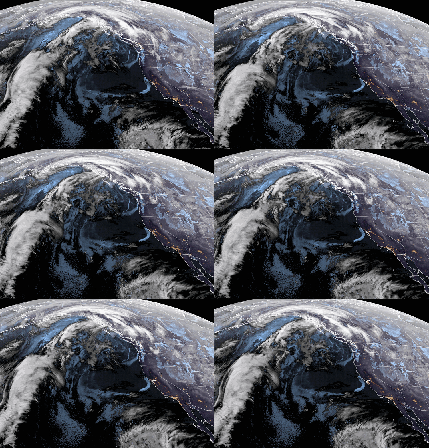
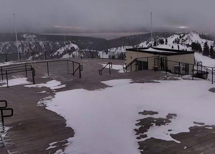
Wednesday:
It will be mostly sunny Wednesday with highs in the 30s. Northeast winds increase with gusty northeast ridge winds by the afternoon, gusting up to 40-50+ mph.
Thursday – Saturday:
The dry pattern continues through Saturday with mostly sunny skies, slightly milder temperatures, and breezy/gusty winds. Highs into the 30s on the mountains and low 40s for lake level. Northeast winds come down some Thursday and then turn northwest Friday and to the west Saturday, with ridgetop gusts up to 30-40+ mph by Saturday afternoon.
Sunday – Monday Cold & Snow:
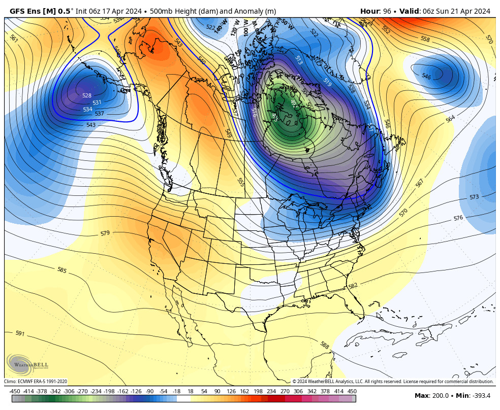
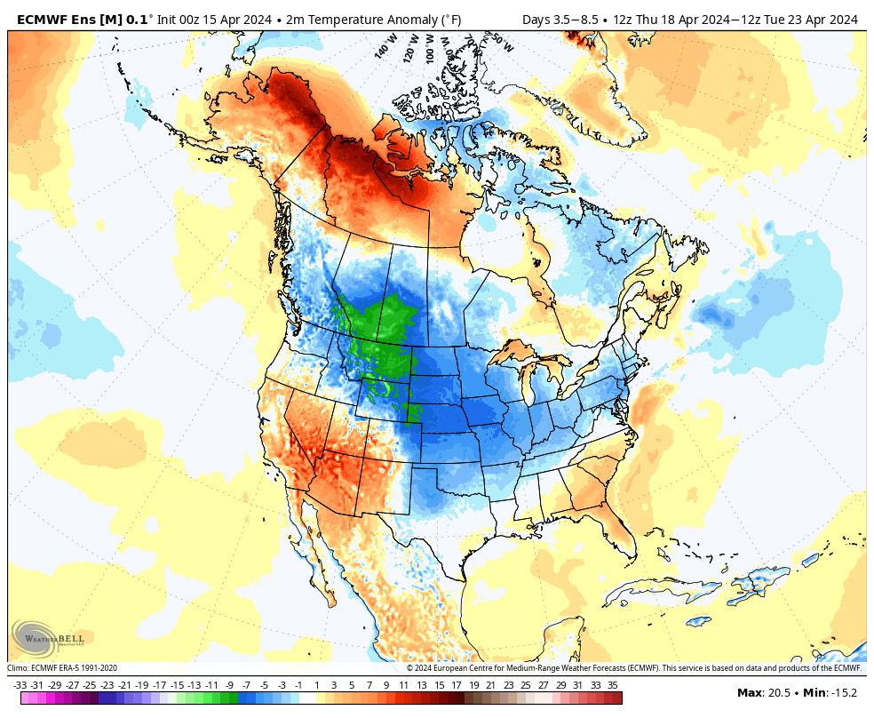
The pattern shifts on Sunday with a cold trough digging into CA from the north. The snow is expected to move in with the front during the early morning hours Sunday. Then scattered snow showers are expected to continue through Sunday night and possibly lingering into Monday. Much colder air pours south into the region with highs dropping into the 20s.
Gusty southwest winds Sunday up to 50+ mph over the ridges and then coming down later in the day into Monday. Most of the snow is expected to fall through Sunday night. By Monday evening the latest forecast model runs show only up to 5 tenths of an inch of total precipitation, but the snow it produces will be enhanced by the cold air and high snow:liquid ratios.
Here is a look at the initial snowfall forecast for this storm:
- 2-5 inches at the base.
- 3-6 inches at mid-mountain elevations.
- 4-7 inches up top.
We’ll continue to watch the trends and adjust accordingly as we get closer to Sunday.
Long-Range:
The cold trough that digs into the region Sunday is forecast to shift to our east starting Tuesday the 31st, while a second trough develops off the West Coast through February 2nd. That could pump a ridge over the West Coast for the 1st-2nd, with a dry period for the 31st-2nd and likely a slight warming of high temperatures.
By day 10 (February 3rd), the trough is forecast to push into the West Coast. There is still some disagreement among models on how far south this trough digs into CA. They show an active storm track into the Pacific NW and far northern CA starting around the 3rd through the 9th, but shift every other run with how far south they dig the storm into the Sierra.
We’ll continue to watch the trends as we get closer to see if we could get the snowfall going again for February.
BA

