

Snowfall Report:
A final 15 inches of snow fell on the upper mountain from the snow showers that lingered into Friday evening. That brings the final storm total for the 3-day Christmas Miracle storm to 65 inches, or over 5 feet of snow! 1.5 feet was recorded at the base. 4.5 – 5.5 feet was the upper mountain forecast for this storm, so it delivered exactly as we expected!
The 8-day total, including the warmer storm from last weekend, is 79 inches, and the season total is now at 102 inches. That is around 85% of the average for the date, which is a HUGE comeback from where we were 8 days ago!
The mountain operations crews continue to dig out and to expand terrain through the weekend. A lot more terrain is opening this weekend!
The Weekend Weather:
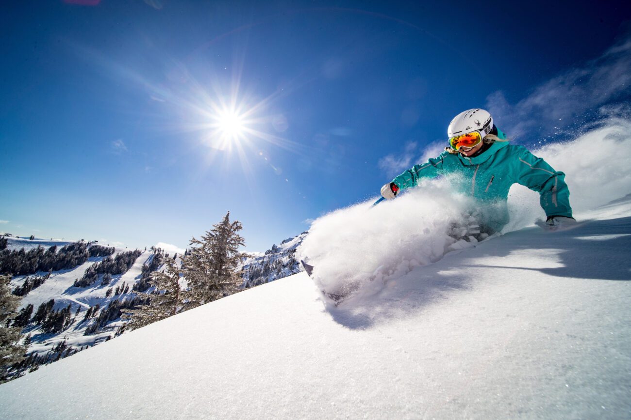
Mostly sunny skies and cold temperatures for the weekend, along with lighter winds. Highs in the 30s for the lower elevations near the base, and 20s for the upper mountain. Overnight lows in the 20s making snowmaking possible if necessary.
Monday – New Year’s Eve:
Mostly sunny for Monday and Tuesday, and then clouds could start to increase on Wednesday for New Year’s Eve ahead of the next storm. Strong high pressure over the region will help bring in some milder high temperatures. Highs in the lower elevations warming into the 40s by Tuesday and Wednesday, with 30s for the upper mountain.
Thursday – Friday Storms:
The majority of the forecast models show moisture lifting north into CA from the south on the 1st, bringing us rain with high snow levels. Then a colder storm moving in from the NW on Friday, the 2nd, dropping snow levels. That would bring us a decent amount of precipitation by next Saturday, the 3rd.
I typically wait until storms are within the 5-day window to start looking at potential snowfall details, and the reason is that details can change quite a bit beyond 5 days. Sunday will get the 1st day of this potential storm into the 5-day window. I’ll wait until then for that reason and because the latest GFS model run is completely dry during the same period.
If we only see moisture from the south on Thursday and no colder air working in from the 2nd system from the NW, then snow levels could stay quite high. If the 2nd system moves in quickly and we have a 2-day storm, then the snow levels could start above 7000-8000 ft. and then fall to lake level sometime on Friday.
We’ll have to iron out the details all week, but the latest model run average, of over a dozen forecast models, shows increasing precipitation starting Thursday, and snow levels falling on Friday. More details all week.
Long-Range Outlook:
The long-range models have been trending towards a broader trough over the West Coast during the 1st week of January. That could keep the storm door open a bit wider and a bit longer through the 7th-8th of January. The operational models are all over the place with the track of storms beyond a week.
There are some model runs that are showing a chance for another storm or two spinning up and moving through northern CA by the 7th-8th of January. Overall, an active and fairly wet pattern is possible during the 1st week of January. Hopefully, a good storm spins up and brings us another healthy dose of fresh snow.
The longer-range models continue to show high pressure building over the West during the 2nd week of January. That could bring us a drier pattern beyond the 8th. We’ll continue to watch the trends on that to see if a dry pattern could emerge and how long it could last if it does.
BA
