The Next 7 Days:
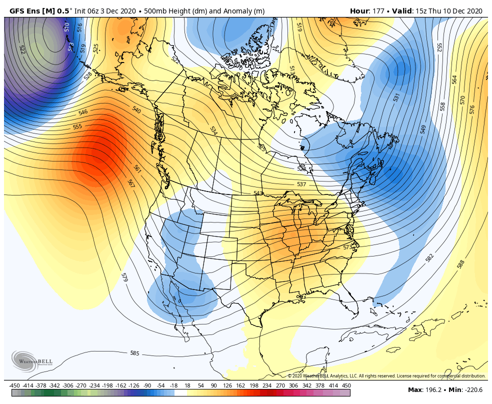
The latest forecast model runs continue to show a dry pattern for CA for the next 7 days as high pressure sits over the West blocking storms. Mostly sunny skies should continue. Highs in the 40s on the mountain to near 50 degrees at the base.
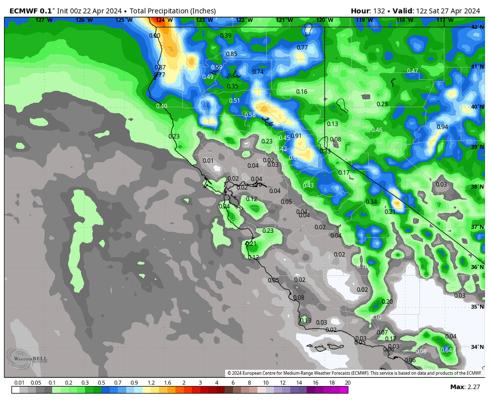
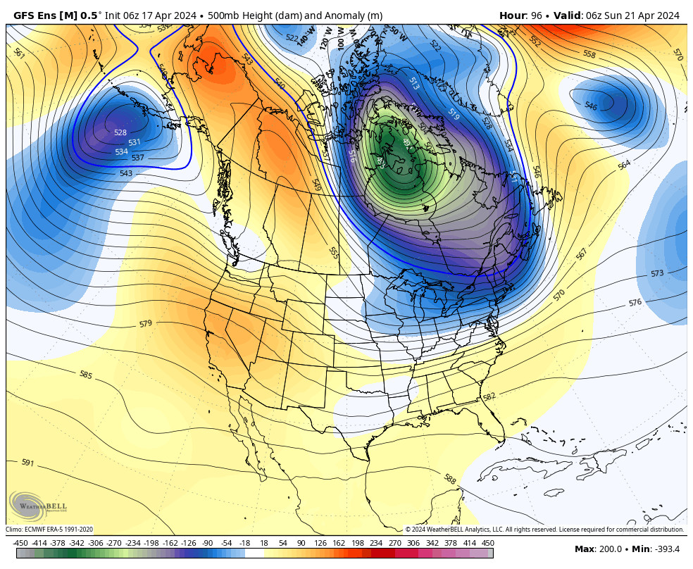
Sunday a system drops down to our east. That could bring a few clouds and the chance for a quick shower. It will likely also bring gusty ridgetop winds to 40+ mph from the southwest Saturday night and northeast on Sunday. High temperatures may also cool a few degrees briefly on Sunday before warming up again early next week.
We may see inversions at night with the colder temperatures at the base and warmer up top. That could make temperatures a bit too warm up top for snowmaking, but it should remain below freezing on the lower mountain for continued snowmaking and terrain expansion.
Long-Range:
The next chance of a weak system moving through is around the 10th-11th of December, and again around the 13th as the storm track becomes more active to our north. These systems may only brush us with light snow at best. They have a better chance of bringing in some colder air.
We may see a better chance for at least some weak/moderate storms to return during the 3rd week of December into the last week of the month. I’m not seeing a pattern yet that would set us up for a series of bigger storms. I will continue to monitor the long-range patterns and we will let you know when storms are inbound.
BA

