Snowfall Reports:
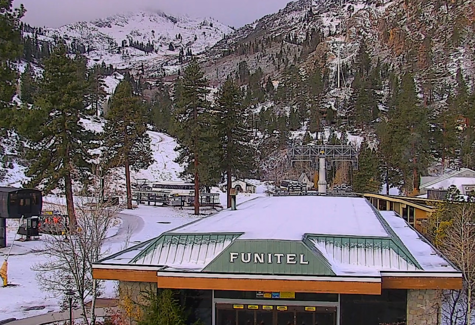
No official report from mountain ops this morning, but the upper mountain received 1-2 inches of new snow from the storm on Wednesday.
Thursday – Friday Storm:
We have a break in the precipitation Thursday morning but the next wave is moving onshore in northern CA. The next wave moves through Thursday into Friday. The latest model runs show showers increasing Thursday afternoon. Then a chance for some steadier showers Thursday night into Friday before tapering off Friday evening.
We could see a little sun with clouds Thursday morning with increasing clouds and showers into the afternoon. Highs in the 30s to near 40 degrees down at the base. Snow levels will be rising above 7000 ft. during the day.
Thursday night into Friday the showers will increase along with colder air and snow levels dropping below 5000 ft. That will mean all snow below lake level, and will help to fluff the snow that falls. Highs only in the 30s for Friday and 20s for the highest peaks.
Expecting mostly a non-event for most of the day on Thursday. Then snow showers Thursday night into Friday afternoon could bring a few to several more inches of snow to the mountain, and maybe a coating up to a few inches of snow down at the base.
The Weekend:
The storm clears with mostly sunny skies expected for Saturday and again for Sunday morning. Highs into the 30s on Saturday, and then warming into the 40s for the lower elevations on Sunday. Some warmer air works in on Sunday with gusty southwest winds over the ridges by afternoon.
Sunday Night – Monday Storm:
The latest model runs still disagree on how far south precipitation from the next system will push. The GFS model still shows a complete miss with precipitation staying to our north. Most models show us at least getting brushed with some light precipitation.
We could see showers move in by later Sunday evening and continuing through the day on Monday before clearing out by Monday night. The snow levels look to be quite high on Sunday night, up above 7500 ft. to start, and then falling to around 6500-7500 ft. by Monday morning. Then hovering in that range Monday before possibly falling near the base by the end Monday afternoon.
That means we may see all rain near the base. The upper mountain would see nothing if we are missed to the north, but the model average would bring up to 1-3 inches of snow by Monday afternoon.
Drier Pattern:
The latest model runs still show high pressure starting to build in on Tuesday and lasting through Friday, with mostly sunny skies likely each day through the end of next week.
Highs will only be into the 30s on Tuesday, but then warming temperatures are likely through the end of the week. Likely into the 40s and possibly hitting 50 degrees down near the base. Overnight lows should stay cold enough to make snow, but inversions could be possible later in the week.
Long-Range Forecast:
The long-range models show the ridge over the West Coast weakening and shifting by the 23rd into Thanksgiving week. But not much showing up for storms as they would have to undercut the ridge in the northern Pacific.
By Thanksgiving, the ensemble mean models show some lower heights near the West Coast. The European model brings in a Thanksgiving storm on the latest model run. But other models keep any storms off the coast. If a storm can’t break into the West Coast by Thanksgiving, we could see the dry pattern last into the beginning of December. Hopefully not…
BA


