Snowfall Report:
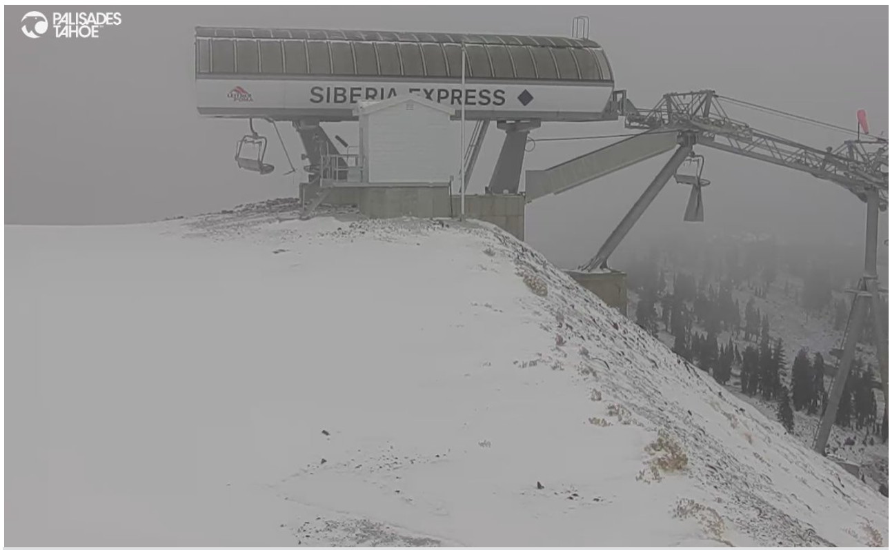
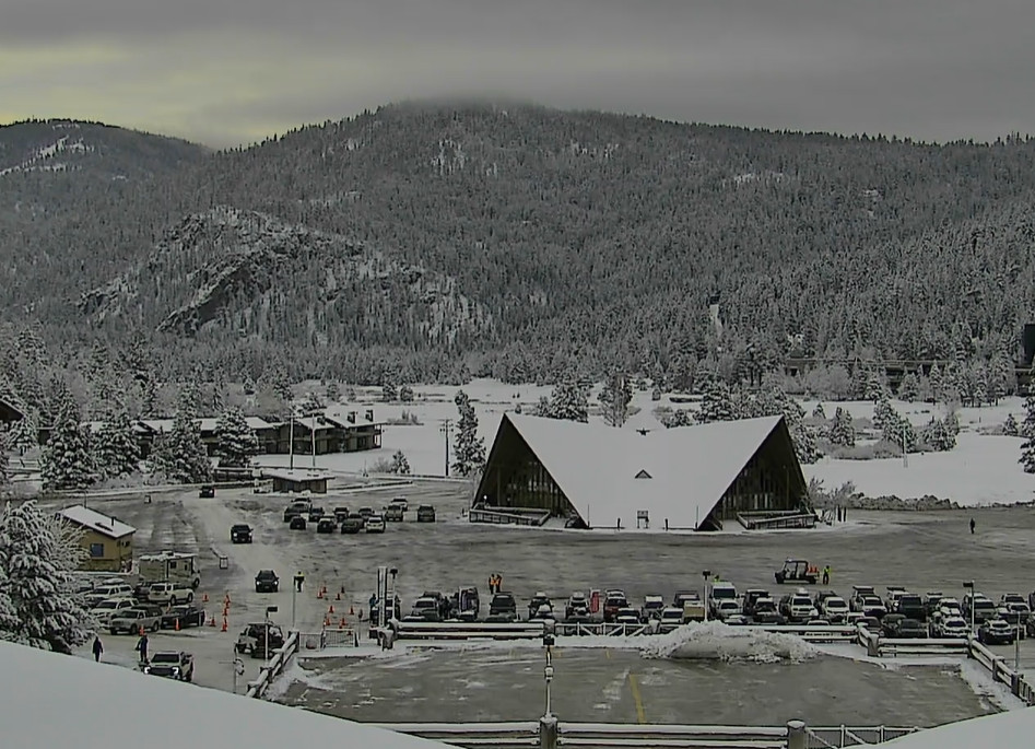
We saw a dusting of snow at the base and up to 4 inches at the top of the mountain from the small storm that moved through Wednesday night into Thursday morning. That brings the season total to 9 inches so far up top.
Friday Night – Saturday Snow:
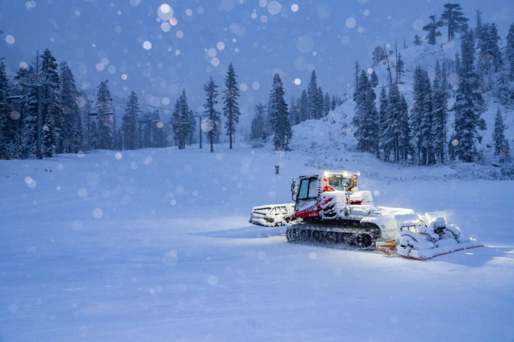
We will start with partly sunny skies on Friday and highs in the 40s. Increasing clouds into the evening with snow reaching the mountain between 7-10 PM. Most of the snow is expected to fall overnight with some scattered showers into Saturday, and likely some sun coming out by afternoon. Colder with highs in the 30s.
The forecast models have been trending the precipitation downward a bit over the last 2 days. This storm looks slightly wetter than the last one, but snowfall amounts may be the same or only slightly higher.
Snow levels could be near 7000 ft. to start Friday evening, but should drop pretty fast below the base of the mountain, down to around 5500-6000 ft. by later in the evening. Then holding there into Thursday morning before starting to rise as the storm clears during the day on Saturday.
By the time the storm winds down on Saturday, we could see totals of 1-4 inches near the base, 2-5 inches near mid-mountain, and 3-6 inches of new snow up top.
Drier Pattern:
A drier pattern builds in starting on Sunday with highs into the 40s for the lower elevations and 30s for the higher elevations.
High pressure tries to build in near the West Coast with temperatures warming slightly for early next week. But a cold trough moves down from the north into the West by midweek and pushes southwest close to CA, which could push in slightly colder air.
With high pressure near the coast, we should remain dry through the end of the week, unless a backdoor cold front midweek comes close enough for a snow shower or two.
By the end of next week into the weekend of the 9th, the long-range models suggest that the western trough shifts east, with high pressure moving inland. That should bring milder temperatures and continue the dry pattern.
Long-Range Forecast:
Beyond day 10 way out in fantasy land for the forecast models, they show a trough digging into the West again the week of the 11th. The question will be how far south the trough digs. If it is shallower then the storm track could stay well to our north. Some models have it digging farther south with a storm or two possible that week.
Overall the ensemble mean models show below-average precipitation for the 7-day period of the 8th-15th and a wetter pattern for the Pacific NW. We could see troughing far south by mid-month. We’ll continue to watch the trends to see when the next snowstorm could bring more natural snow to the northern Sierra.
The good news is that we have natural snow falling Friday night, and the nights look cold enough to make snow through the weekend and into next week. We’ll keep you posted as ski areas open through the month of November.
BA


