The Weekend:
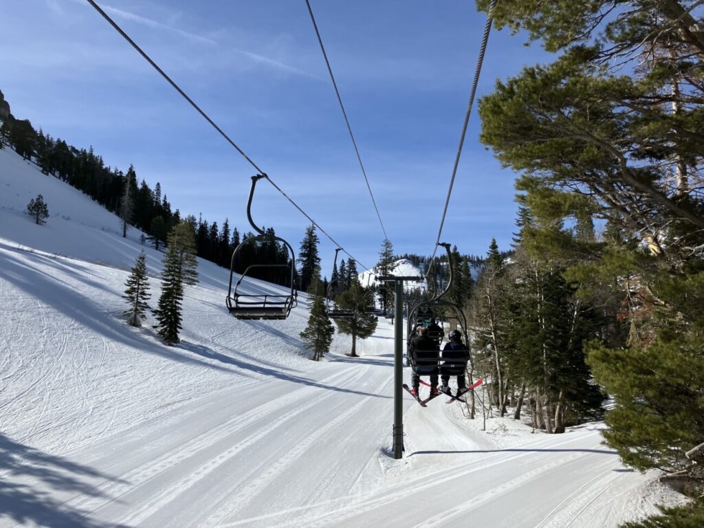
Mostly sunny skies with highs into the 40s up top and 50s at the base through Sunday. Mostly lighter winds expected
Monday – Tuesday System:
Monday should be a dry and mild day but with increasing winds during the day and increasing clouds by evening. Southwest winds could gust up to 90+ mph up top by Monday afternoon. That will likely close some upper mountain lifts
A weak system associated with a cold front moves through Monday night into Tuesday morning. Snow levels could start as low as the base and fall overnight. Snow showers could clear out by Tuesday morning with highs only into the 20s up top and 30s at the base Tuesday. Gusty north winds of up to 60+ mph up top.
The most recent forecasts suggest 1-3″ of snow for the mountain by Tuesday morning.
Long-Range:
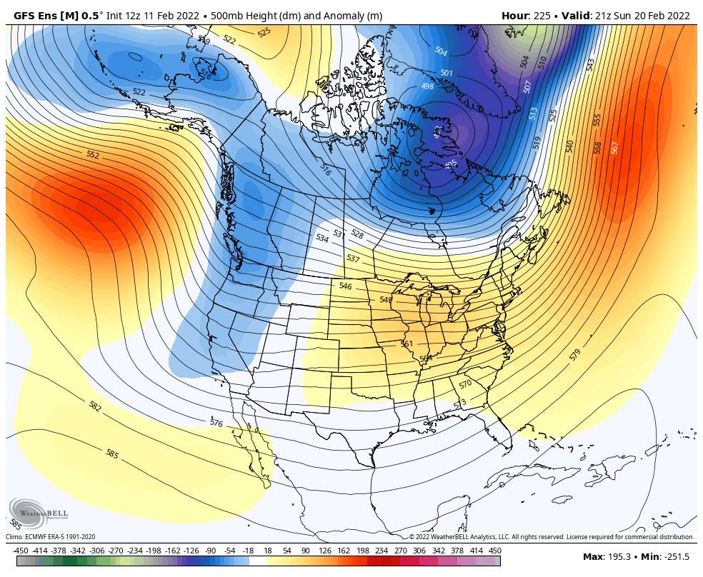
High pressure is forecast to shift back closer to the West Coast again by the middle of next week bringing back a drier pattern into the weekend of the 19th. Highs in the 40s at the base and 30s up top by Wednesday and then warming some through the end of next week.
Going thru the last week of the month (starting around the 21st) there are some signs that the pattern could open back up to a more active pattern, but we aren’t sure if it will be more weak systems or wetter systems. We’ll continue to track the trends as we get closer.
BA


