

One last mostly sunny and mild day is left on Monday at the end of this 3.5-week dry pattern. Storms return by Tuesday night and continue into Christmas week, but snow levels will be very high through at least Saturday.
Tuesday – Wednesday Rain:
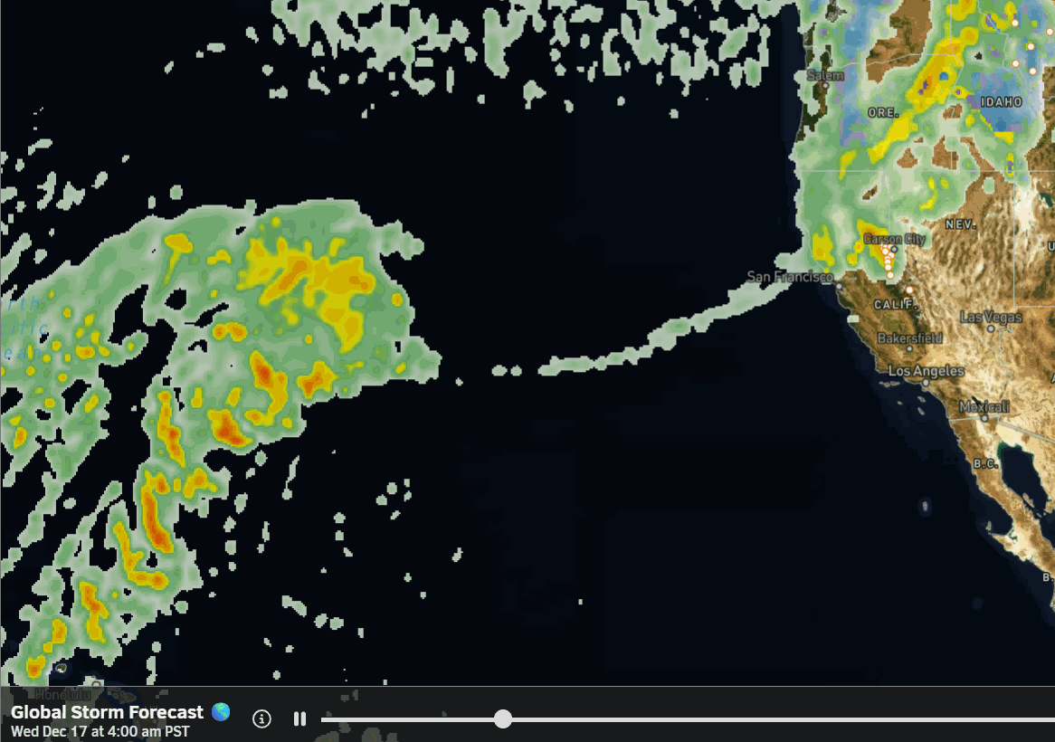
The latest model runs continue to show a dry start to Tuesday with clouds and some sun possible during the day. Rain showers arrive by evening from the northwest and push farther south Tuesday night. Rain continues into Wednesday and should clear by evening.
Warm, moist air being drawn in from all the way back near Hawaii is why snow levels will be very high. The latest model run average still shows around 0.75 inches of total precipitation falling over the mountain by Wednesday evening.
The snow level forecasts have only gone higher over the past 24 hours. They could start up around 9500-10,000 ft. Tuesday night, and only falling to around 8500-9000 ft. at their lowest point on Wednesday morning before rising again. Therefore, I don’t have a snowfall forecast for you as we mainly expect rain up to the top.
Thursday Break:
A break between storms on Thursday with partly sunny skies and some clouds possible. Highs drop into the 40s for the lower elevations starting Wednesday and 30s for the highest elevations. The ridgetop winds will be gusting from the WSW up to 80-100 mph on Wednesday and drop to around 60-70+ mph on Thursday.
Friday – Saturday Rain:
Friday could be similar to Tuesday with increasing clouds and winds through the afternoon, and then rain showers arriving by evening. Then rain is possible Friday night into Saturday morning. Most models show the rain clearing out during the day on Saturday. The gusty ridgetop winds continue with highs in the 30s and 40s.
The latest trends show this system as slightly wetter with up to 0.5 – 1.5 inches of total precipitation falling over the mountain, depending on how far south the heavier precipitation pushes. But the model average this morning is around 1 inch.
Snow levels could start around 10,000+ ft. before falling to around 8000-8500 ft. Saturday morning. That means a coating of wet snow up to a few inches on the peaks is possible if snow levels drop fast enough.
Long-Range Outlook:
The next storm is expected to move in sometime on Sunday and then may or may not have the moisture feed tilt west away from us by Monday as the trough digs farther south along the West Coast. There are a lot of questions around precipitation amounts, timing, and snow levels that we will need to iron out this week with this storm. But snow levels will likely be above 7000-8000 ft.
We may or may not see a break between storms on Tuesday, the 22nd, as the colder and deeper trough digs south along the West Coast. This pattern is forecast to last into the last week of December. It is expected to open the door to colder and wetter storms that dig farther south into CA by the 23rd through at least the 25th-26th.
These storms could drop a lot of snow if the forecast holds, and this is the Christmas miracle period that most forecasters are focused on this week. We’ll continue to watch the trends closely as this period moves out of the fantasy range and into the 1-week window by the end of this week. That will increase confidence in big snowstorms if the current forecasts hold.
BA
