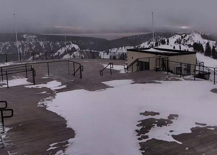
Snowfall Report:
As of 5 AM Tuesday, the base had picked up 1 inch of new snow, and the upper mountain a foot of new snow in the past 24 hours. That brings the 2-day storm total to 20 inches so far on the upper mountain.
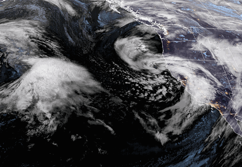
Tuesday – Tuesday Night:
The colder half of the storm moved in early Tuesday. Moderate-heavy snowfall is expected through the day with nice orographic enhancement from the cold westerly flow. Then becoming lighter by Tuesday evening and more scattered Tuesday night. Snow levels are well below the base for this period. Highs in the 20s on the mountain Tuesday with a drier snow falling.
The winds increase again Tuesday and could be gusting up to 70-80+ mph from the west-southwest up top through the day, which will affect some upper mountain lift operations again. There could also be some delays from digging out and avalanche control operations.
By Wednesday morning we could see additional snowfall amounts of:
- 12-18 inches at the base.
- 15-21 inches for mid-mountain elevations.
- 18-24 inches up top.
Wednesday Storm:
The latest forecast model runs show the storm pushing into northern CA Wednesday edging close enough to the northern Sierra on the eastern side to bring through a warm front and some snow showers Wednesday into Wednesday evening. Then tapering off Wednesday night.
The snow levels start low and then rise through the period. They could be near the base by Wednesday evening, and then rise above 7000 ft. Wednesday night as the moisture pulls back away from the Sierra and the snow stops. Highs in the 30s. Ridgetop winds Wednesday could be gusting up to 40-50+ mph up top from the west-southwest.
By Thursday morning we could see additional snowfall amounts of:
- 1-4 inches at the base.
- 2-5 inches for mid-mountain elevations.
- 3-7 inches up top.
Thursday:
The flow into northern CA is forecast to back west away from the coast Thursday and it turns more southerly. With the warm flow continuing into CA, we could see partly sunny skies with highs into the 40s Thursday at the base and 30s up top. Ridgetop winds gusting up to 40-50+ mph.
MLK Weekend Storms:
The latest model runs are back to showing a weak system for Friday. It will bring in some colder air and snow showers with falling snow levels. Ridgetop winds gusting up to 50-60+ mph from the southwest. Highs in the 30s. Maybe a few inches of snow on the mountain with this system.
The next storm moves in Saturday. This system could bring around 6-12 inches of new snow to the mountain through Saturday night. The snow levels look to stay below the base for the weekend. Southwest winds continue to gust up to 50-60+ mph up top.
We could see scattered snow showers Sunday with breezy/gusty winds, and maybe a bit of a lull between storms. But the next storm moves in by Monday which is MLK day. That storm could drop into the SoCal and only bring us a few inches. If it stays farther north we could see more.
Overall an unsettled period with 3 systems moving through with snow Friday through Monday for the holiday weekend period. Stay tuned for more details as we fine-tune the forecast over the next few days.
Long-Range:
The long-range models suggest the storms could continue through the 19th-20th. Then they suggest that we could transition into a drier pattern around the 20th-21st into the last week of January, which may be a nice break if it happens after almost non-stop storms since the beginning of November.
We’ll be watching the long-range forecast trends closely to see how long the drier period could last.
BA