Snowfall Report:
2 inches of new snow fell at the base and 10 inches on the upper mountain over the past 24 hours, as of 5 AM Monday. That brings the 2-day storm total to 26 inches on the upper mountain, which is right in the range of 21-27 inches we had forecast for the 2-day period.
The season total is now at 648 inches and climbing! The snowiest season on record was the 10/11 season with a total of 810 inches at the end of the season in May. So we still have an additional 163 inches to go to beat that season.
Monday:
Scattered rain and snow showers continue Monday, but are expected to be lighter. Highs into the 30s. Ridgetop winds gusting up to 70-80+ mph which could affect some upper mountain lift operations. Snow levels rise to 6700-7700 ft. by afternoon with rain or a rain/snow mix at the base.
Monday Night – Tuesday Night Storm:
Another wet storm moves in later Monday night into Tuesday, with moderate-heavy precipitation continuing into Tuesday evening before winding down by Wednesday morning. Highs into the 30s. Ridgetop winds gusting up to 90-100+ mph Tuesday which should close several lifts.
Snow levels could fluctuate between the base and 7000 ft. Monday night. Then rising up to 7300-8300 ft. Tuesday morning through the afternoon with heavy rain on the lower mountain. The snow levels fall Tuesday evening with a cold front moving through. Dropping to the base by midnight.
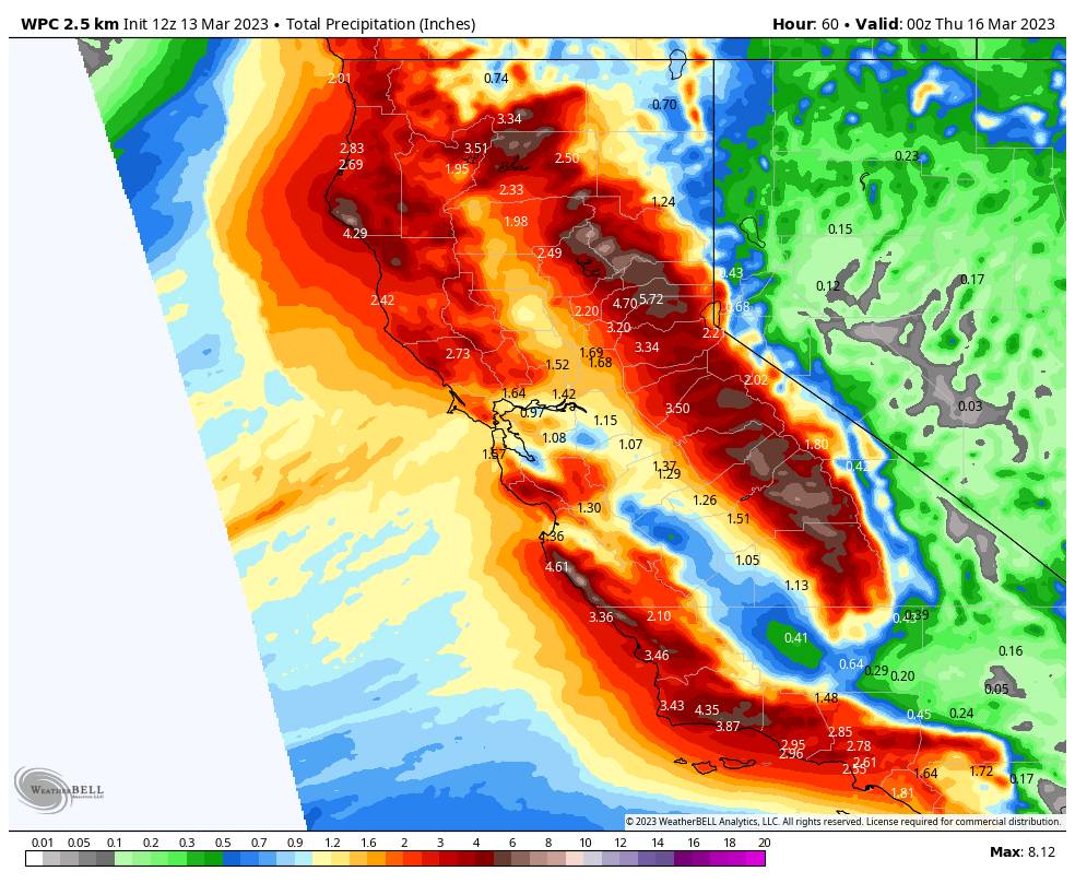
Here is the updated forecast for total snowfall expected for Monday through Tuesday night. From the base up to 7300 ft. half of the forecasted amounts could fall before the change to rain and half after the change back to snow. A boom/bust zone between 7300-8300 ft. based on where the snow levels end up. Heavy wet snow above 8300 ft.
- 3-7 inches at the base.
- 7-26 inches at mid-mountain elevations.
- 26-33 inches on the upper mountain above 8000 feet.
Wednesday – Thursday:
The storm clears out Wednesday with partly-mostly sunny skies by afternoon. Lighter winds with highs into the 30s.
A nice day is expected for Thursday with mostly sunny skies and lighter winds. Highs into the 30s on the mountain and near 40 degrees at the base.
The Weekend:
We could see a pair of weak systems move through Friday-Saturday and again Sunday-Monday with some light rain and snow showers. Snow levels look to hover near the base. We’ll continue to watch the trends all week with more details on timing, snow levels, and potential light snowfall amounts as we get closer.
Long-Range:
The storm door could remain open through the end of the month, but the storms could mostly be on the weaker side as we get later into spring and the jet stream weakens and shifts north with time.
There is a possible moderate-strong system showing up on the models around the 22nd. So we’ll keep an eye on that, and any other storms that look to bring accumulating snow through the end of the month.
BA

