
Saturday – Tuesday:
We are in a drier pattern through Tuesday. Warming a bit for the weekend with highs into the 40s at the base and 30s up top, and warming a bit more Mon – Tue with highs into the 50s at lake level and 40s up top.
We should see mostly sunny skies each day through Tuesday. Maybe a few clouds as the active storm track is just to our north in the Pacific NW. The winds don’t look to be an issue right now, but it could be breezy up top.
Wednesday Night – Thursday Storm:
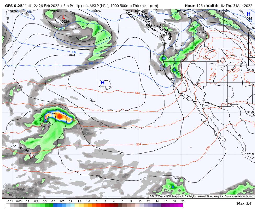
Wednesday we could see sun and some clouds with increasing winds from the southwest. Ridgetop gusts could increase to 60+ mph up top by afternoon. The latest forecast model runs show a storm digging into the northern Sierra by later Wednesday night into Thursday.
Right now the storm doesn’t look overly impressive and we could start with higher snow levels around 8000 ft. Then falling to the base Thursday before ending by afternoon, bringing snow to the mountain Thursday. Highs dropping into the 30s.
Initial estimates are for 0-1 inches at the base and 1-3″ of snow on the mountain by Thursday afternoon. We’ll continue to fine-tune the forecast as we get closer.
Long-Range:
Additional weak systems could move through the region through the weekend of the 5th-6th and into the week of the 7th as the trough remains over the West. It could be a colder pattern with any weak systems being on the colder side with light snow.
Looking at the 2nd week of March, the long-range models continue to suggest the pattern could continue to evolve into a pattern that could bring better storms, but we’ll see, it’s still far out. We’ll continue to watch the trends as we get closer.
BA


