Thursday:
For Thursday, mostly sunny skies and highs in the 30s on the upper mountain and 40s near the base. Lighter winds expected in the morning and southwest winds gusting to 30+ mph up top in the afternoon.
Friday System:
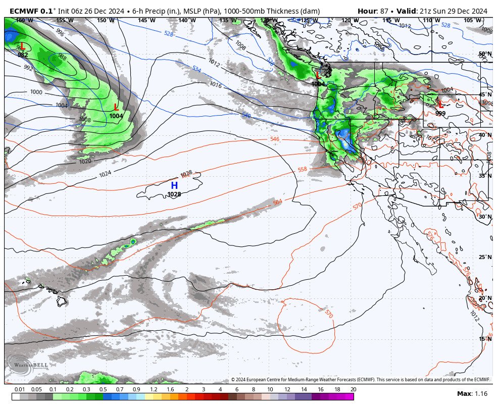
Another weak system moves through Friday morning into the early afternoon. Still some discrepancies on how far south this system tracks. Most of the forecast models miss us completely, while a few show a few light showers over the mountain Friday. Snow levels in the 7000-7500 ft. range (mid-mtn).
Ridgetop winds could increase to 80+ mph likely closing some upper mountain lifts Friday. Based on the latest trends, we could see maybe a dusting up to 1 inch at best on the upper mountain by Friday afternoon.
The Weekend:
For the weekend we will have mostly sunny skies and lighter winds. Highs in the 30s up top and 40s at the base Saturday, and warming into the 40s top to bottom Sunday.
Long-Range:
A dry pattern continues to build in through next week. Expecting mostly sunny with temperatures becoming warmer later in the week. Highs in the 40s on the mountain to near 50 degrees at the base.
We will continue to watch the trends in the pattern beyond mid-month to see if/when we could transition back into a more active storm pattern again. There are signs of the pattern starting to shift around the 20th.
BA


