Palisades Tahoe Logo Palisades Tahoe Logo Palisades Tahoe Logo
Explore
  • Explore Palisades Tahoe
  • Our New Name
  • Explore Legendary Lifts
  • Palisades Tahoe Blog
  • About Lake Tahoe
  • About Us
Plan Your Visit
  • Tickets & Passes
  • Lodging
  • Lessons & Guides
  • Deals & Packages
  • Rentals & Demos
  • Travel Here
  • Getting Around
Mountain Information
  • Snow and Weather
  • Lift and Grooming Status
  • Webcams
  • Hours of Operation
  • Trail Maps
  • Parking & Road Conditions
  • Snowfall Tracker
Events & Activities
  • Events Calendar
  • Activities
  • Dining & Apres
  • Shopping
  • Things To Do In Lake Tahoe
  • Groups, Meetings & Weddings
  • Ski & Snowboard Teams
IKON PASS HOLDER LODGING DISCOUNT

Ikon Pass holders save up to 25% on slopeside lodging at The Village at Palisades Tahoe.

SLOPESIDE LODGING
Icon / FlashCreated with Sketch.
View All Offers
  • Weather

Dry Pattern for CA Into December

  • Nov 27, 2020
  • 7:20 am

The Weekend:

Friday through the weekend high pressure builds back in with mostly sunny skies and lighter winds expected. Highs in the 30s on the mountain Friday to near 40 degrees at the base. Highs in the 40s Sat-Sun. Overnight lows in the teens and 20s for continued snowmaking.

The 1st Week of December:

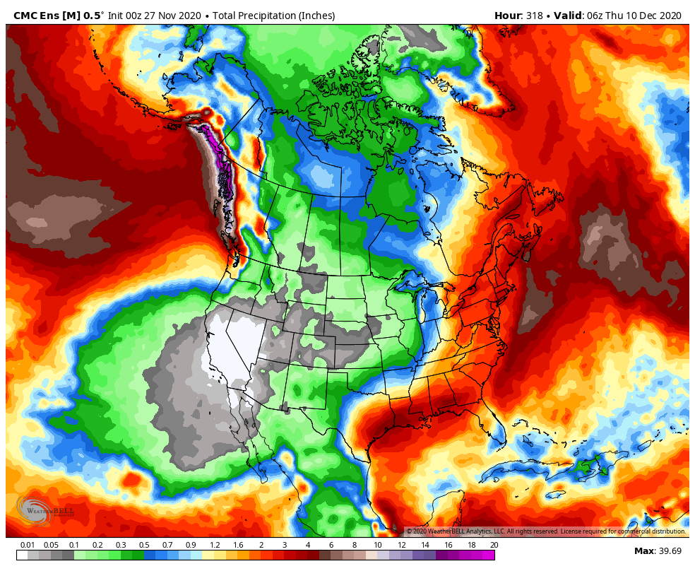
The latest forecast model runs continue to show a drier pattern setting up for CA through the 1st week of December as high pressure builds in over the Western U.S. Mostly sunny skies should continue. Highs in the 40s on the mountain with overnight lows below freezing.

Long-Range:

The pattern may not flip back into an active pattern until at least the 11th of December, with a better chance around mid-December into the 3rd week of December. That doesn’t mean we won’t see any storms until then, just that the pattern is not looking favorable for an active storm track or any big storms.

We will continue to watch the long-range for the first sign of storms returning.

BA

lake tahoe weather snow storm snowfall forecast squaw snow Squaw Weather Forecast
Bryan Allegretto
Bryan Allegretto

Share this article:

Recent Posts

  • Weather ·
  • May 26, 2022·

Colder with Unsettled Weather for Memorial Day Weekend

It’s the last weekend of the season and we could see a few flakes fall on the mountain! Thursday –…
Read more
  • Weather ·
  • May 17, 2022·

Quick Cooldown Thu-Fri, Then Milder Weather

A cool trough moves through Thursday – Friday. Highs dip down into the 60s at the base Thursday and 50s…
Read more
  • Weather ·
  • May 11, 2022·

After 15″ of Snow, A Return to Spring

Snowfall Report: We have had a cold and wintry first half of the week with several systems that rotated through…
Read more

Social

Instagram Twitter Facebook Youtube

Contact

   Email Us
   1.800.403.0206

Our Partners

U.S. Forest Service Logo
1960 Squaw Valley Road
Olympic Valley, CA 96146

©2022 Palisades Tahoe

Alterra Mountain Company
  • Privacy Policy
  • Terms of Service
  • Photo Upload Terms of Use
  • Accessibility
Menu
  • Privacy Policy
  • Terms of Service
  • Photo Upload Terms of Use
  • Accessibility