Skip to content
Palisades Tahoe Logo Palisades Tahoe Logo Palisades Tahoe Logo
Explore
Main Menu
  • Explore Palisades Tahoe
  • Base to Base Gondola
  • Our New Name
  • Explore Legendary Lifts
  • Palisades Tahoe Blog
  • About Lake Tahoe
  • About Us
Plan Your Visit
Main Menu
  • Tickets & Passes
  • Lodging
  • Lessons & Guides
  • Deals & Packages
  • Rentals & Demos
  • Travel Here
  • Getting Around
Mountain Information
Main Menu
  • Snow and Weather
  • Lift and Grooming Status
  • Webcams
  • Hours of Operation
  • Trail Maps
  • Parking & Road Conditions
  • Snowfall Tracker
Events & Activities
Main Menu
  • Events Calendar
  • Activities
  • Dining & Apres
  • Shopping
  • Things To Do In Lake Tahoe
  • Groups, Meetings & Weddings
  • Ski & Snowboard Teams
IKON PASS HOLDER LODGING DISCOUNT

Ikon Pass holders save up to 20% on slopeside lodging at The Village at Palisades Tahoe.

SLOPESIDE LODGING
Icon / FlashCreated with Sketch.
View All Offers
  • Weather

Dry Pattern Continues, A Weak System Possible Tuesday

  • Nov 19, 2021
  • 8:19 am

Weak Friday System:

Friday we will see the last of a weak system moving through. It brought some wet snow to the upper mountain Thursday night with a coating of wet snow. Expecting the showers to become more scattered through the day. Ridgetop winds from the southwest gusting up to 50+ mph Friday morning and falling through the afternoon. Highs in the 40s at the base and 30s up top.

The Weekend:

Mostly sunny for Saturday with highs in the 40s. The winds will drop off with a light east wind by afternoon.

Sunday we should see another dry day as high pressure builds over the region. Highs could reach 50 degrees again at the base. Overnight lows in the 20s and inversions are possible again with the lighter winds, but it should be cold enough for snowmaking at least on the lower mountain.

Early Next Week:

Monday could be the warmest day with highs in the 50s at the base and 40s for the upper mountain. The dry pattern continues but the ridge over the region begins to shift.

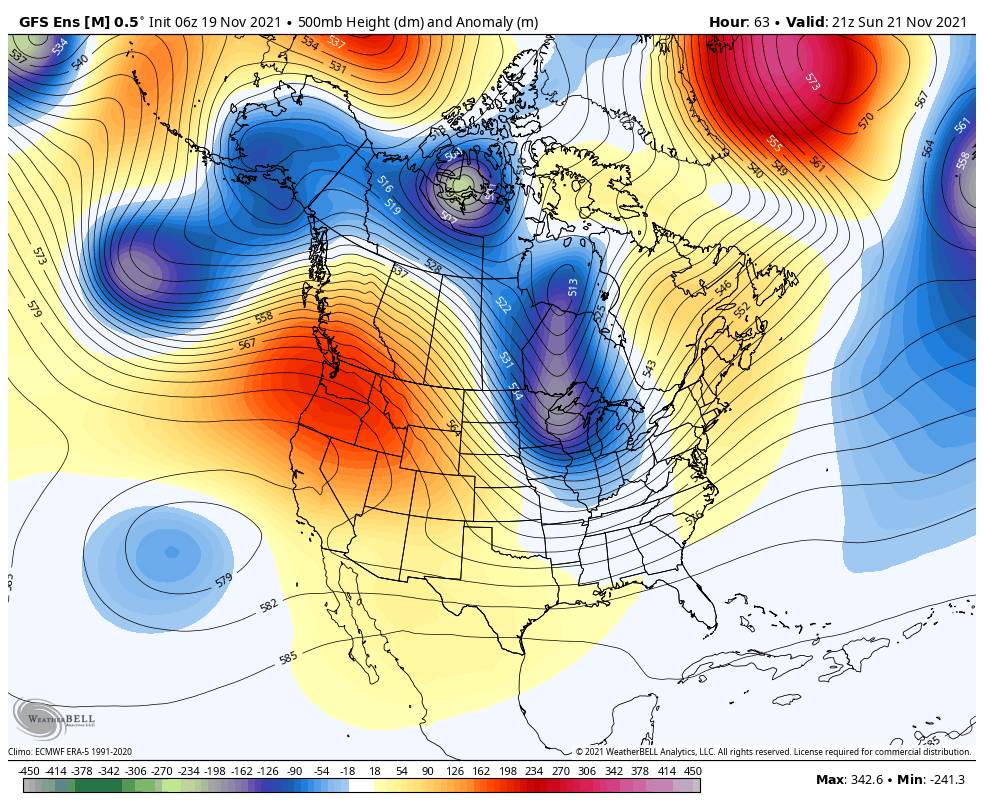
Tuesday we could see another weak system move through the West. There is a slight chance of scattered showers for the Sierra Tuesday as the low moves inland, but the latest model runs are pretty dry. We will see a cool down with highs back into the 40s at the base and 30s for the higher elevations. Tuesday night should be cold enough for top to bottom snowmaking.

Long-Range:

By Wednesday the next high-pressure ridge is building back in over CA bringing us another dry pattern, possibly through Thanksgiving weekend. Highs in the 50s at the base by the end of the week and overnight lows in the 20s. Inversions are possible at night possibly limiting snowmaking in the higher elevations.

It’s impossible for us to forecast how much the mountain can make each night and when they could re-open. Stay tuned to the website and social media for the latest updates.

Fantasy Range:

The uber long-range models suggest the dry pattern could last through the end of November. We may have to rely on snowmaking for now.

There are some signs we could see some storms later into the 1st week of December, but confidence is low right now. I’ll let you know as soon as we have confidence in storms returning!

BA

lake tahoe weather palisades tahoe weather forecast snowfall forecast
Bryan Allegretto
Bryan Allegretto

Share this article:

Recent Posts

  • Weather ·
  • February 4, 2023·

A 24-hour Dump of Snow

Snowfall Report: No surprises with the weak and windy system that moved through Friday as it dropped 1 inch on…
Read more
  • Weather ·
  • February 3, 2023·

Windy Friday, Snowstorm Sat Night – Sunday

Windy Friday System: A weak system moves through Friday with some light rain & snow showers possible. Ridgetop winds gusting…
Read more
  • Weather ·
  • February 2, 2023·

Windy w/ A Few Snow Showers Friday

Thursday: Partly sunny Thursday with increasing high clouds. Highs warming into the 30s up top 40s for the lower at…
Read more

Social

Instagram Twitter Facebook Youtube

Contact

   Email Us
   1.800.403.0206

Our Partners

U.S. Forest Service Logo
1960 Olympic Valley Road
Olympic Valley, CA 96146

©2022 Palisades Tahoe

Alterra Mountain Company
  • Privacy Policy
  • Terms of Service
  • Photo Upload Terms of Use
  • Accessibility
  • Do Not Sell My Personal Information
  • Privacy Policy
  • Terms of Service
  • Photo Upload Terms of Use
  • Accessibility
  • Do Not Sell My Personal Information