
Tuesday – Sunday:
High pressure over the region will continue the sunny, dry, and mild weather through Sunday. Also, light winds and overnight inversions are expected to continue. Daytime highs into the 50s.
The coldest temperatures with the inversions are stuck down in the valleys. Overnight lows above freezing on the upper mountains are preventing snowmaking. Some snowmaking is happening at the bottom of the mountain.
Long-Range:
Over the past 24 hours, the long-range models have started to suggest the ridge could retrograde slightly west just off the West Coast by next Tuesday. That could allow a trough and associated cold front to move down from the north into the West.
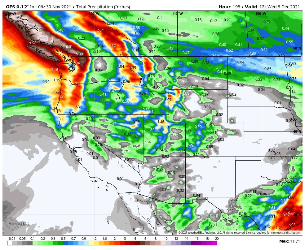
We are starting next week mild with highs still in the 50s Monday, but the winds may increase ahead of the trough passage. Then cooler by Tuesday with a chance of rain & snow showers. It’s too early to start looking at details, but snow levels likely start high and may only bottom out around 7000 ft. and amounts look light. We will have to keep tracking this system to see how much if any moisture we will get.
The good news is that we should see some colder nights for at least somewhat better snowmaking once this system clears next week. It looks like high pressure builds back in with dry weather again next Wednesday – Thursday, the 8th – 9th, and then a strong storm is possible around Friday the 10th. We’ll keep you posted!
BA


