
Snowfall Report:
An additional 2 inches of snow fell on the mountain Wednesday from the snow showers. That brings the storm total to 14+ inches, the March total to 191 inches, and the season total to 692 inches!
Thursday – Saturday:
Partly-mostly sunny skies through Saturday with highs into the 30s, and near 40 degrees in the village Fri-Sat. We could see a few scattered snow showers pop up each afternoon-evening, but only a dusting of snow is expected at best. Lighter winds continue through Friday.
Saturday the winds increase from the southwest with ridgetop gusts up to 60-70+ mph. That could affect some upper mountain lift operations.
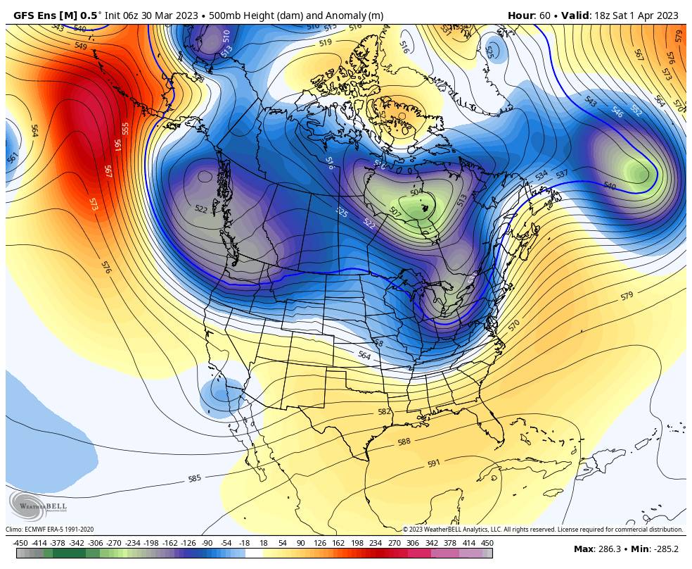
Saturday Night – Monday System:
Saturday night scattered snow showers start to move in from the north with a dusting to an inch of snow possible. Sunday the scattered snow showers are expected to continue with an additional dusting to an inch of snow possible. Highs into the 30s. Ridgetop winds gusting up 70-80+ mph from the WSW which could continue to affect upper mountain lift operations.
Sunday evening into Monday morning we could see steadier snow with the cold front moving through. We are expecting several inches of snow by Monday morning, with snow showers continuing during the day before tapering off into Monday night. Much colder with highs in the 20s. The winds are expected to become lighter Monday morning.
Snow levels could hover near the base Saturday and Sunday afternoons, with some rain possibly mixing into any showers near the base. Snow levels fall below the base Saturday and Sunday night, with powdery snow expected on the mountain Sunday night into Monday.
Here is the updated snowfall forecast for totals expected by early Tuesday morning. Most of the forecasted amounts are expected to fall Sunday night into Monday.
- 5-11 inches at the base.
- 7-12 inches at mid-mountain elevations.
- 8-13 inches up top.
If you are planning to attend the WinterWonderGrass Festival Friday through Sunday at the base, you’ll want to dress warmly and prepare for some snow to be falling while you are watching the concerts during the evening on Saturday and especially Sunday.
Long-Range:
Another weak system could bring a few snow showers Tuesday. Starting Wednesday the forecast models are split on whether or not we start a dry pattern or if we could see another weak system move through with a little snow next Thursday the 6th. Temperatures are expected to remain below average through the end of next week with highs in the 30s.
By the weekend of the 8th-9th into the week of the 10th the long-range models agree on a drier and milder pattern building in over the region. We could see highs into the 40s for Easter weekend and possibly hitting 50s degrees at the base the week of the 10th.
By mid-April, some of the long-range models suggest that we could return to a more unsettled pattern. It will be harder to see any storms of significance as we go later into spring. We’ll continue to watch the trends.
BA


