The weak system overnight performed pretty much as we expected. We saw showers move through for several hours with high snow levels. Snow levels mainly stayed above 7500-8000 ft. We saw a dusting of snow overnight at High Camp.
Tuesday:
We have some clouds and fog this morning around the region. That will eventually clear. We have a cooler day with northeast breezes. Highs in the 40s at the base and 30s for the upper mountain. Tuesday night with the clear skies we should drop into the 20s on the mountain so they should be able to get the snowmaking guns and blowers fired up higher up the mountain.
Wednesday – Thursday Storm:
Wednesday may start sunny and cool, similar to Tuesday afternoon. But increasing clouds and winds going into the afternoon. West winds gusting up to 60 mph up top. Highs in the 40s at the base and 30s up top. We could see some scattered snow showers break out later in the day as the next system moves in. Snow levels may initially start up around 7000 ft.
Wednesday night into Thursday morning the cold front moves through bringing a better chance for some steadier snow showers. Snow levels drop below the base during the evening. This system will try to pull in some moisture from off of the ocean but overall it continues to trend slightly drier.
Behind the front Thursday, we could see some snow showers through the morning but diminishing during the afternoon before ending. Much colder behind the front with highs only near freezing at the base and 20s on the mountain. Winds diminishing but breezy NW winds on the mountain.
We will have snow:water ratios of 12:1 or better on the upper mountains for some lighter density snow. That will help to fluff the snowfall totals slightly, but overall a small storm. We are expecting 2-4 inches at the base and 4-8 inches on the mountain by Thursday afternoon.
Friday – Saturday:
It stays cold Friday but the sun comes out. Highs are still around freezing at the base and 20s on the mountain. Overnight lows in the teens. We should see snowmaking around-the-clock Wednesday night through Friday night.
Saturday looks a few degrees warmer but still cold. Highs in the 30s for the lower mountain and 20s for the higher elevations above 8500 ft. The upper mountain may be able to continue making snow during the day. Ridgetop winds increasing from the southwest Saturday afternoon with up to 60+ mph.
Long-Range:
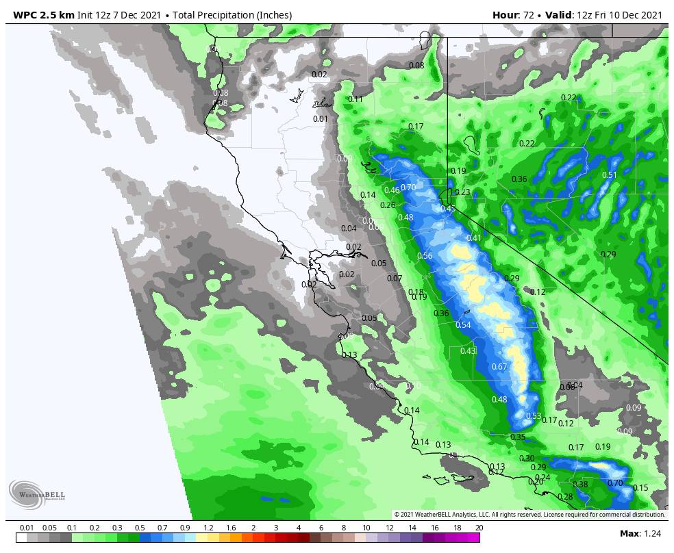
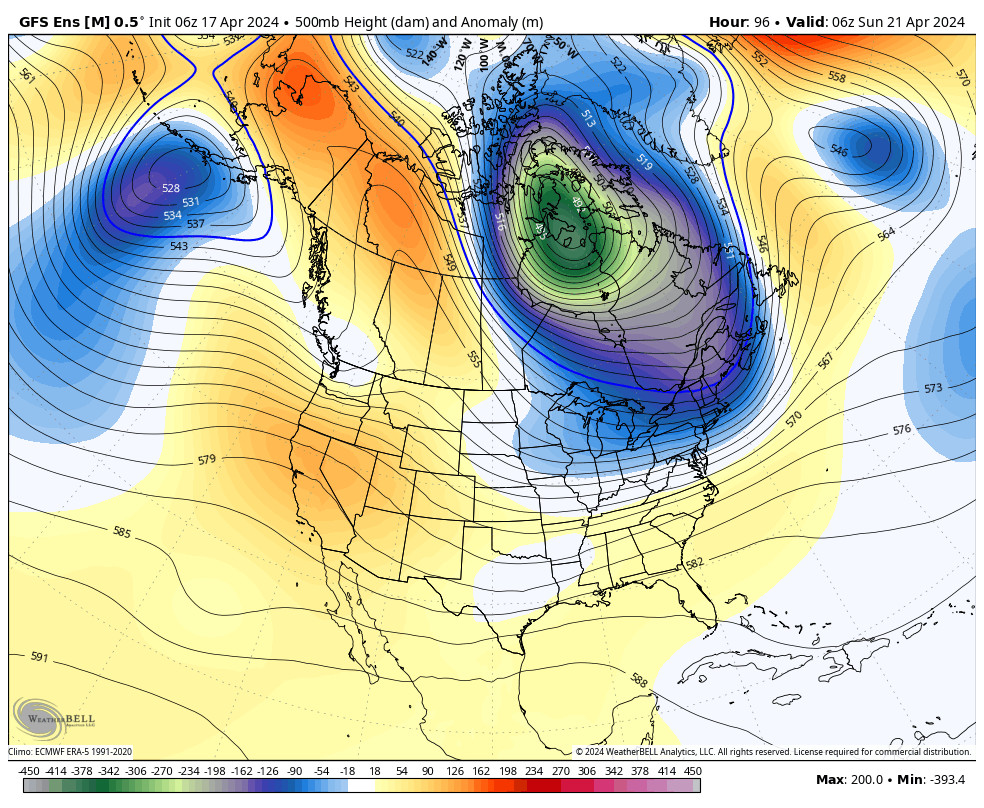
Over the past 24 hours, we have seen most of the forecast models jumping on board with a big storm that could last a few days moving in starting sometime on Sunday.
We could see the initial front moves through with snow Sunday into Sunday night, and a 2nd wave moving in Monday could tap into some deeper subtropical moisture. Additional waves are possible through Tuesday and even out to Wednesday on some model runs as the center of low pressure spins down the coast.
The latest model runs show snow levels staying below lake level. We are still 6 days out from the start and 8-9 days from the finish of this storm, so still too early to look at potential snowfall amounts, but the models are showing several inches of total precipitation, so if the forecast holds we would see feet of snow Sun – Tue/Wed. More details as we get closer.
Extended-Range:
The extended-range models suggest that the trough remains over the West through the 3rd week of December. That means a potential pattern for continued storms.
Things are looking up for a flip to a colder and stormier pattern going forward. Now we just need to track each system for more details on how much snow each could bring.
BA

