

Continued Dry & Mild:
High pressure will dominate our weather pattern into the weekend, with mostly sunny days and highs into the 40s for the upper elevations and 50s for the lowest elevations near the base. Sunday afternoon, we could see winds from the SW gusting up to 50+ mph over the ridges.
Colder with Snow Showers:
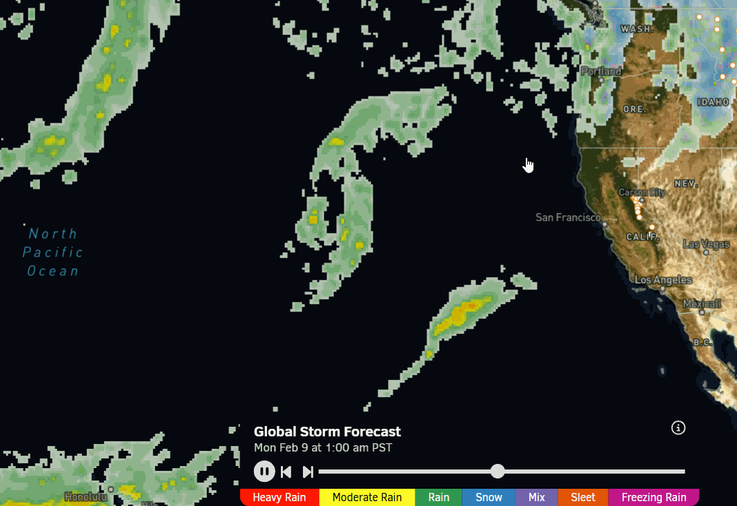
The latest model runs continue to agree on a cold trough digging in on Monday and lasting into Wednesday, opening the door to small storms spinning up in the trough. Highs drop into the 30s on the mountain to near 40 degrees at the base on Monday, and then 30s for Tue – Wed with 20s for the higher elevations.
This pattern shift is still out at days 6-8, so still too early to look at the details of potential precipitation totals and snowfall. The models are still all over the place with the track of the 2-3 systems that could move through the region early next week. A front that weakens by the time it reaches us on Monday, a better chance of a small storm on Tuesday, and maybe some snow showers on Wednesday.
Some models are a bit drier, and some are a bit wetter, but overall, these systems will bring snow in inches. Very light amounts of snow are possible on Monday, maybe a few/several inches on Tuesday, and maybe none up to light amounts on Wednesday, based on the latest model runs.
Another Break:
No changes on the forecasts for weak high pressure to build back in briefly next Thu – Fri, with mostly sunny days possible, and a slight warming trend back into the 30s on the mountain, and up to 40 degrees near the base by Friday.
Long-Range Outlook:
The long-range models continue to show the next, broader, trough digging into the West Valentine’s Day weekend, and hanging around into the week of the 16th. The latest forecasts still dig this trough far enough west that wetter storms could spin up off the coast and move into CA during the 3rd week of February.
We need that ridge to stay far enough west, or we’ll likely only get more cold and more small storms. We’ll have to continue to watch the trends because if that ridge is a bit closer or trends closer later in the 3rd week of February, a wetter pattern could be short-lived or stick to smaller storms. We need to get bigger storms into the 7-10 day window to build more confidence.
The OpenSnow PEAKS forecast model for total precipitation over the next two weeks, lighter amounts of precipitation for Palisades next week, and higher amounts starting around Valentine’s Day. A forecast to love? We hope so…stay tuned as we get closer.
BA
