Monday – Tuesday Storm:
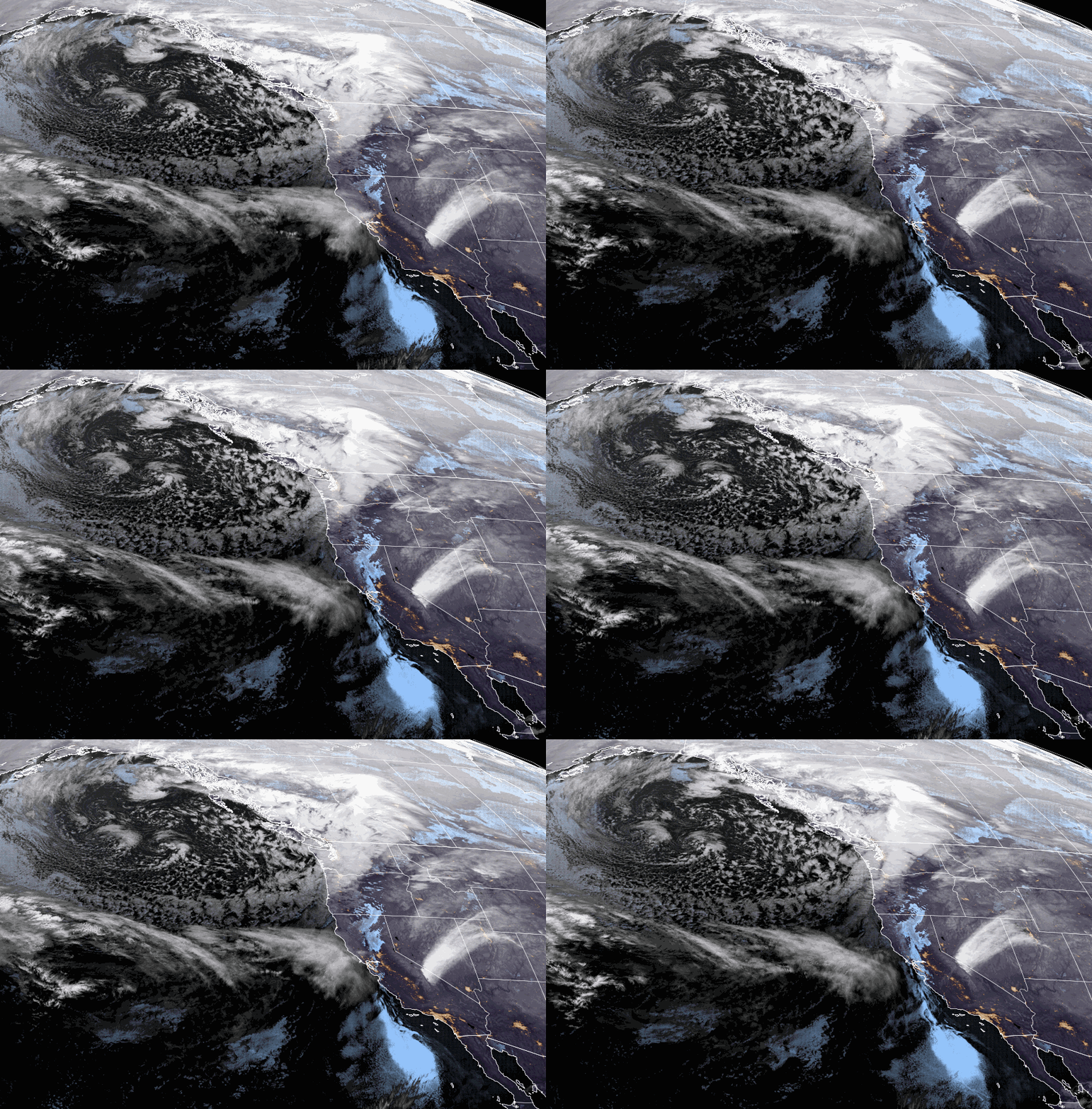
Monday we could start with partly sunny skies and then increasing clouds through the day as the next storm approaches. Highs in the 30s at the base and 20s up top. The winds continue to increase from the southwest gusting up to 100+ mph up top in the morning, and up to 120+ mph by afternoon! That will close some upper mountain lifts for Monday.
Later Monday afternoon/evening through Tuesday night a pair of weak systems move through. The heaviest snow is expected Monday night and then lighter & scattered showers are possible for Tuesday into Tuesday night. The snow levels look to stay near to below the base through Tuesday morning and then we could see them rise Tuesday afternoon into the night up to 7000-7500 ft.
Strong winds continue Tuesday from the west gusting up to 90+ mph up top in the morning and dropping to 70+ mph through the afternoon. That may make it hard to reach some of the fresh snow up top as some wind holds are still possible for some upper mountain lifts. Some rain is possible at the base Tuesday afternoon/night for some wetter snow on the lower mountain by early Wednesday.
We could see 1-4 inches of snow on the mountain by Tuesday morning with another coating to an inch Tuesday – Tuesday night, for a total of 2-5 inches by Wednesday morning. At the base, we could see 1-3 inches Monday night and then a change to rain later Tuesday.
Wednesday – Thursday:
We could see partly sunny skies Wednesday as the storm clears. Then mostly sunny Thursday. It will be milder with highs into the 40s at the base and 30s up top. It could be a pair of nicer days and soft snow, but breezy up top.
The winds could turn northwest Wednesday and could gust up to 70+ mph up top in the morning and drop to 40+ in the afternoon. Thursday we could start with light southwest winds and then gusting up to 60+ mph up top by afternoon. Some wind holds possible up top Wednesday morning & Thursday afternoon.
Friday Storm:
Another storm is forecast to move through by midday Friday into Friday night with gusty winds and more snow for the mountain. We could start with snow levels above 7000 ft. initially and then falling below the base Friday evening. Ridgetop winds gusting up to 90+ mph likely closing some upper mountain lifts.
Right now it looks like we could see similar snowfall amounts as the Monday night storm with 1-3 inches at the base and 3-6 inches up top by Saturday morning. We will fine-tune the details all week as the storm gets closer.
Long-Range:
From Saturday the 8th through the 2nd week of January the forecast models suggest we could see a drier pattern, possibly lasting through mid-month or longer. We could see some milder temperatures as well during this period.
We could see the pattern start to shift again during the 3rd week of January. Initially, we could see a colder pattern return with weaker systems possible. Then possibly colder with setter storms possible through eh least week of January. Not a specific forecast this far out, just an outlook based on signals we are seeing.
BA

