Snowfall Report:
The cold front that moved through Sunday night dropped a fresh 4 inches of snow on the mountain as of 5 AM Monday.
Monday Snow Showers:
We have a lull in the snow showers Monday morning, but they are expected to increase again Monday afternoon-evening before clearing out Monday night. It will be colder with highs only in the 20s on Monday. Gusty winds from the northwest gusting up 30-40+ mph up top and increasing to 40-50+ mph by evening. A final dusting up to an inch or two of snow is possible by Monday evening.
Tuesday – Thursday:
We start to go into a drier pattern Tuesday and Wednesday with mostly sunny skies expected. Highs in the 30s Tuesday and warming into the 40s Wednesday and Thursday.
Thursday Night – Saturday Systems:
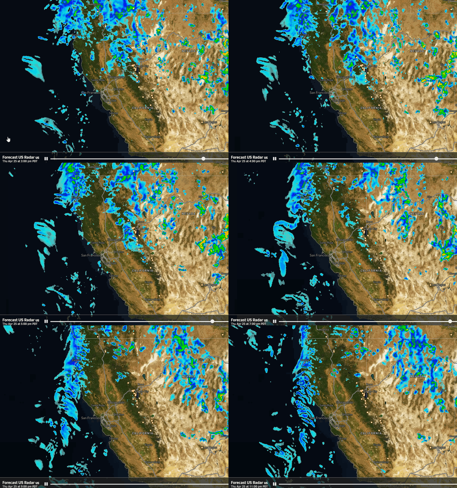
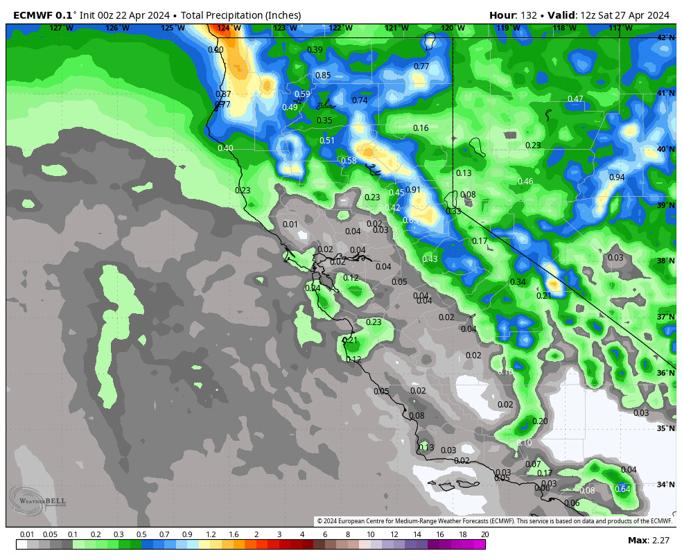
The latest model runs are split on whether or not a pair of storms moving through the Pacific NW dig fart enough south to bring some rain and snow to the northern Sierra Thursday night into Saturday. Some models are dry through the period with partly sunny skies. Others show rain and high-elevation snow with gusty winds.
We’ll continue to watch the trends through the week to see if we could see some rain at the base and wet snow on the upper mountains Friday and Saturday. If we see partly sunny skies highs could warm into the 50s at the base, and if we see some rain we could stay in the 40s.
Long-Range:
Easter Sunday looks like a mostly sunny and mild day with highs into the 50s.
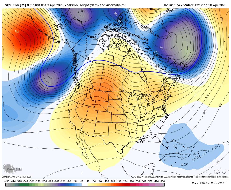
Next week the models are split on whether we shift into a colder and unsettled pattern as early as Monday the 10th, or hold off until around the 12th. Once we do shift the pattern we could stay in a cool and unsettled pattern through mid-month and into the 3rd week of April.
We’ll continue to watch the trends and will keep an eye on the storms to see if any could bring accumulating snow to the mountain through April.
BA

