Snowfall Report:
We were expecting the southerly flow with the low spinning over CA to shadow out the Tahoe basin from the heavier precipitation, but we were expecting at least some showers on Saturday. The southerly flow ended up blocking out just about all the precipitation rotating around the low and we just had some clouds and gusty winds. Not a bad outcome as most precip would have been rain.
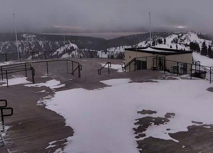
Saturday night as the low pushed a bit farther inland we saw a little precipitation move over the area as the colder air moved in. That brought some snow showers overnight. There was a dusting of new snow at the base Sunday morning and the upper mountain SNOTEL sensor at 8k’ showed 1″ of new snow.
Sunday Cold w/ Snow Showers:
The low is still spinning over CA on Sunday morning. We still have southerly flow and most of the precipitation is still being blocked by the mountains. As we go through the day on Sunday and into Sunday night the low moves inland and the flow turns northerly.
We will have clouds with a chance for scattered snow showers on Sunday with highs in the 30s. Sunday night may be the best chance to see an additional dusting to an inch of snow similar to Saturday night.
My final forecast for the storm from Friday morning was for 1-6 inches of snow. We have dusting to an inch so far from the southerly flow bringing more shadowing than the models were showing. We may end up with only a dusting up to 2-3 inches in total.
Drier and Milder Week Ahead:
High pressure starts to build in on Monday and will bring us a drier and milder week. Highs into the 50s for the lower elevations and 40s for the higher elevations to start the week, and then 60s and 50s for highs by Wednesday.
Long-Range Forecast:
The long-range models show high pressure hanging around over CA through at least the 25th. That should keep our weather dry and springlike. The precipitation anomalies show a dry well below-average precipitation forecast.
If any weak systems get close enough they could bring enough moisture for afternoon showers or thunderstorms to pop up over the mountain with the convection from the daytime heating.
Late April Forecast:
The long-range models continue to show a trough developing over the West Coast during the last week of April. As we go into the dry season that may only bring colder air into the region. The ensemble mean models show below-average temperatures possible starting around the 26th through the end of the month.
It could also open the door to weak systems dropping into CA. We’ll keep an eye on that as we get closer. We only need a little bit of moisture to get afternoon showers to pop up. We’ll have to see if anything more organized shows up.
BA
P.S. I usually end the weather forecasts by the end of April. The Alpine Meadows side of the ski resort will close on 4/28 and the Olympic Valley side plans to stay open until at least 5/27. I’ll likely go to a Mon-Wed-Fri posting schedule for the last two weeks of April with the quieter weather pattern before ending the forecasts on 4/28.


