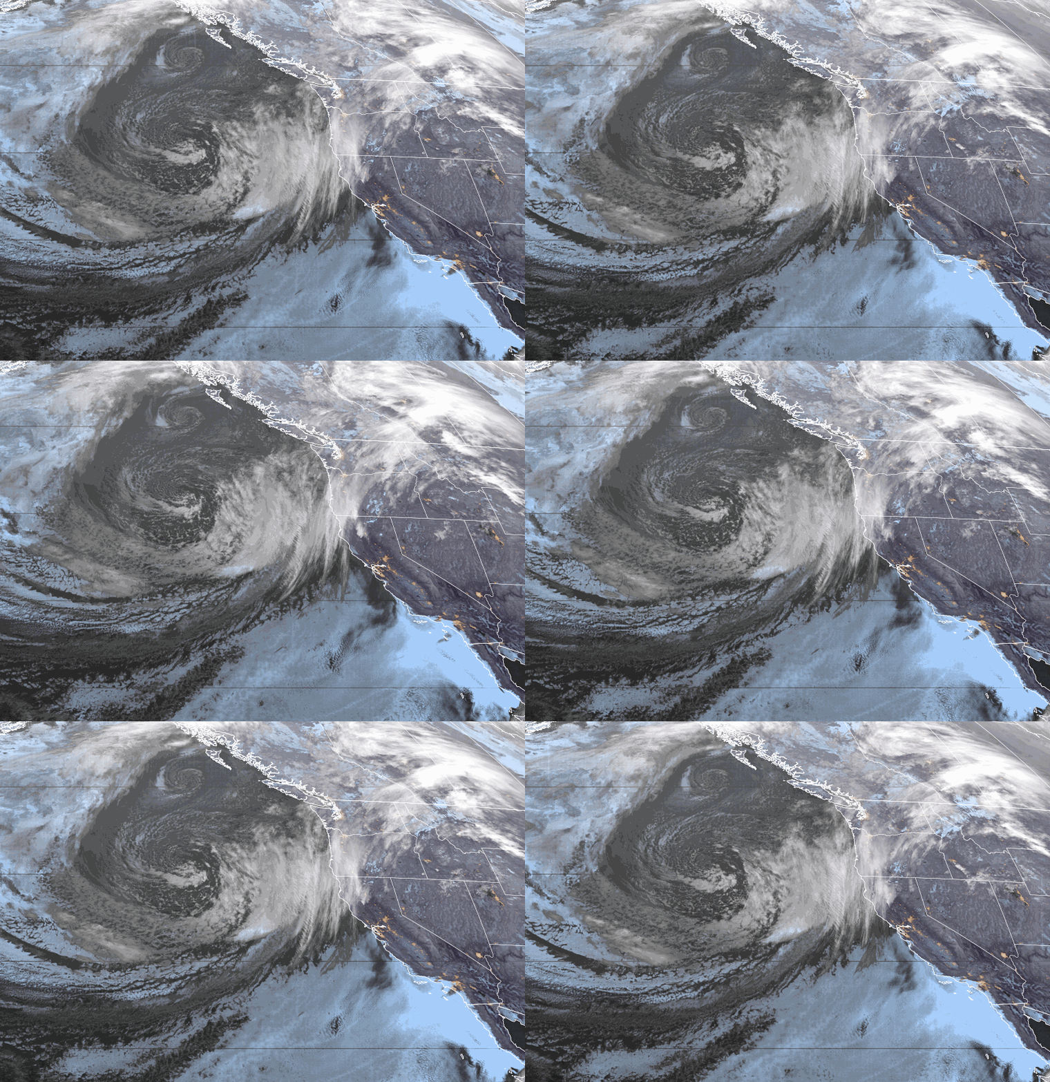
Sunday – Monday:
We are expecting mostly sunny skies for both days. Highs in the 40s on most of the mountain and the base, with 30s for the very top of the mountain. Overnight lows in the teens and 20s for continued snowmaking. Monday we will see some gusty winds up top with southwest winds gusting to 30+ mph.
The 1st Week of December:
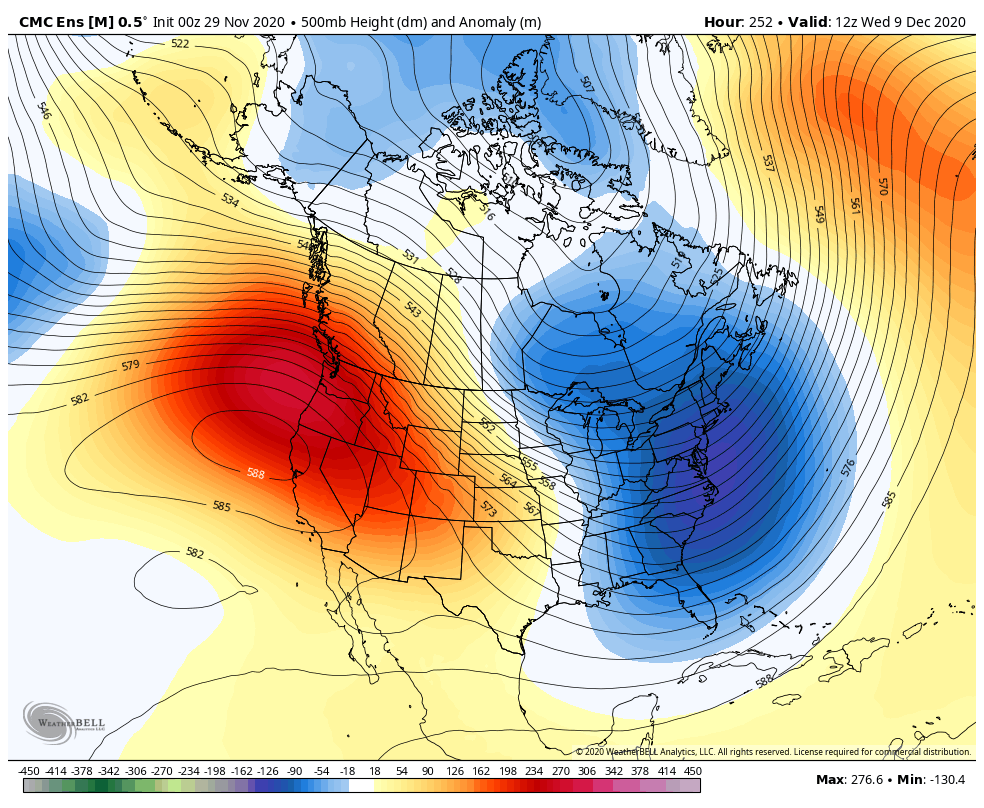
The latest forecast model runs continue to show a dry pattern for CA through the 1st week of December as high pressure builds in over the West Coast. Mostly sunny skies should continue. Highs in the 40s on the mountain to near 50 degrees at the base. We may see inversions with the colder temperatures at the base and warmer up top, but it should remain below freezing most nights for continued snowmaking and terrain expansion.
Long-Range:
The pattern may not flip back into a more active pattern until at least the 11th of December, but that pattern may only bring shots of colder air with precipitation chances staying to our east.
We may see a better chance for storms to return sometime during the 3rd week of December into the last week of the month. That doesn’t mean we won’t see any storms until then, just that the pattern is not looking favorable for an active storm track or any big storms for the foreseeable future right now.
We will continue to watch the long-range for the first sign of storms returning and we will let you know right away.
BA

