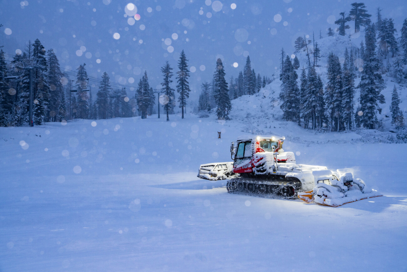
Christmas Eve Snow:
Snow levels are starting out above 7000 ft. but will fall quickly to the base during the morning as the precipitation pushes in. We will see a period of steadier snow during the day and then tapering off pretty quickly by evening. Highs in the 30s. Ridgetop winds gusting up to 30-50+ and turning from the west.
By Tuesday evening we could see snowfall totals of around 2-6 inches at the base, 4-8 inches near mid-mountain, and 5-10 inches up top. A nice refresh of the slopes for Christmas.
Christmas Day:
The weather on Wednesday will be beautiful. Sunny skies, light winds, and highs in the 30s.
Thursday – Friday Storms:
The storms will be moving through very fast Thursday through the weekend, with little break between each. We have a weak system Thursday morning, a slighter wetter system Thursday night, and another weak system moving in on Friday, with more for the weekend. The best chance for a break in the precipitation is Thursday afternoon and Friday morning between storms.
Highs in the 30s Thursday and near 40 degrees down at the base for Friday with the storms being progressively milder. Ridgetop winds gusting up to 60-80+ mph Thursday and 70-90+ mph on Friday, which could close some upper mountain ski lifts.
The snow levels will be all over the place with these storms. They start out below 6000 ft. Thursday morning but rise up to around 6800-7300 ft. by late morning as the first system departs. Then falling close to the base Thursday night as the next system moves in, but rise overnight up to 8000-8500 ft. by Friday morning. Then dropping to around 7300-7800 ft. as the 3rd system moves in Friday and up to 8500-9000 ft. by Saturday morning.
We will see snow down to the base to start and rain up as high as 8000 ft. (top of the Funitel) by Saturday morning. So any snow that falls below that will get some rain on it and it won’t be measured on the ground as high as the forecasted totals. In total, including snow that melts after falling, we could see around 1-4 inches at the base, 3-7 near mid-mountain, and 8-13 inches up top by Saturday morning.
The Weekend:
The mild storm continues on Saturday with a final system on Sunday that starts mild and then a cold front sweeps through by Sunday evening. That could bring us a final round of steadier precipitation and colder air with snow levels falling below the base by evening.
I’ll be watching this storm closely, and I’ll have weekend snowfall forecasts starting tomorrow. Expect strong winds through the weekend as well, so another wet and windy weekend with some white at the end.
Long-Range Forecast:
The pattern starts to change on Monday into the first week of January. High pressure will build in over CA early next week bringing us a drier pattern. It will start out cold on Monday behind the Sunday cold front. The weather should be pretty seasonal for New Year’s Eve and Day with mostly sunny skies and highs in the 30s on the mountain and near 40 degrees at the base.
The long-range models disagree on whether or not the high-pressure ridge over CA retrogrades far enough off the coast to allow in some colder systems from the north by the 4th-5th, or if the drier pattern continues. Beyond that, they show better agreement that we could see a drier pattern.
We’ll continue to watch the trends and will let you know when we expect more snow.
BA


