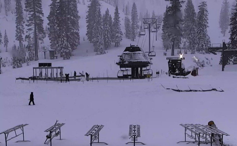
Wet Thursday System:
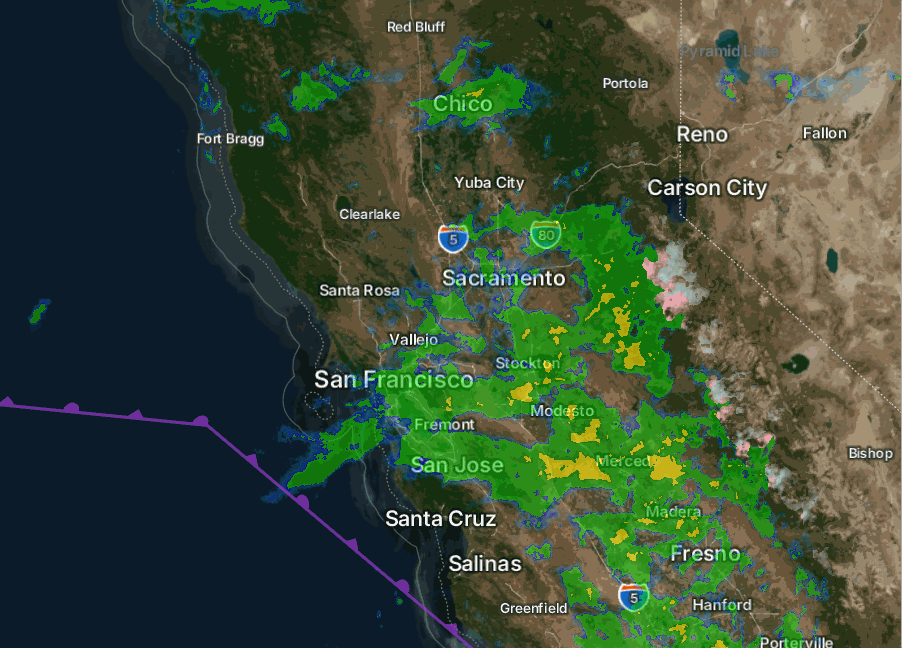
Snow levels overnight Wednesday night stayed up above 8500-9000 ft. as expected, with rain for most ski area terrain so far with this storm. Looking at the radar images as of 8 AM, there is another surge of moisture moving north into the Sierra. Most of the precipitation is expected to fall during the day on Thursday, with a few scattered showers into Thursday night.
Overall, the final amounts with this system are expected to be fairly light. The snow levels are expected to fall to 7500-8000 ft. by afternoon, and then a bit lower into the evening. But by then, most of the precipitation will have fallen. Above 7500-8000 ft., we could see a final coating up to a few inches of wet snow.
Friday Weather:
We are between storms on Friday. We could see clouds and some sun with highs into the 40s for the lower elevations, and 30s for the higher elevations.
Weekend Storm:
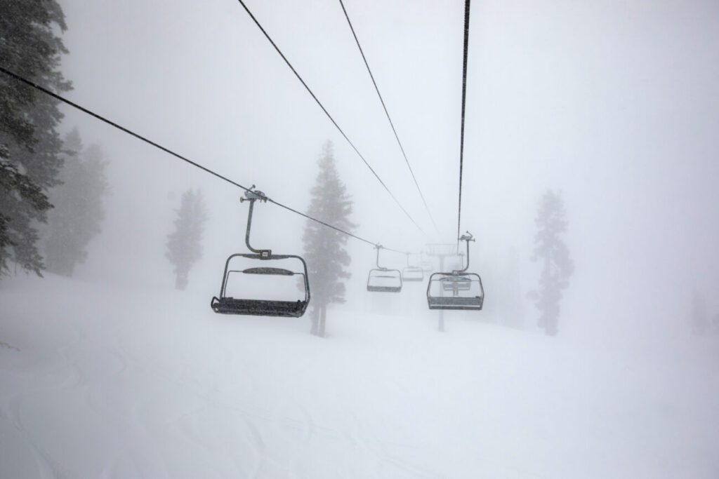
The latest model runs have sped up the arrival of the precipitation slightly, to between about midnight into the early morning hours on Saturday. Then steady precipitation is possible, even heavy at times, through Sunday night.
The first front moves through on Saturday, and then the next wave could point a narrow AR (atmospheric river) at the northern Sierra Saturday night into Sunday morning, before pushing inland, and then snow showers lingering into Sunday night. The models now show a bit of a break between storms on Monday, so I’m ending the forecast period for this storm as of Monday morning.
One of the tricky parts of this storm is the possible AR Saturday night into Sunday morning, and where it could be pointed. The suggestion by some of the latest model runs is NW of the lake, where a lot more precipitation could fall compared to the rest of the region, which could include Palisades.
We will see gusty ridgetop winds over the weekend with gusts from the southwest up to 60-80+ mph Saturday and Sunday. That could close some upper mountain lifts, so watch for that. Highs drop into the 30s, with 20s above 8000 ft.
Snow Levels & Potential Snowfall:
The snow levels are going to be a real pain to forecast near the base. Initially, we start with higher snow levels around 7000-7800 ft. between midnight and 5 AM on Saturday. They continue to fall a bit with the first front moving through on Saturday, but only down to around 6100-6600 ft. by Saturday evening on the latest model runs. That is near to just above the base.
Then they could rise slightly with the AR Saturday night into Sunday morning, especially if it is aimed to our north. Possibly up to around 6300-6800 ft. Still just above the base, but if we see really heavy precipitation rates, they can drag lower. Then falling Sunday afternoon down to 5900-6400 ft. and below 6000 ft. Sunday night with the final snow showers.
That makes the forecast at the bottom of the mountain between 5600-6600 ft. very hard to forecast for the weekend, and a boom/bust scenario. If snow levels stay just above the base, which I’m assuming in my forecast until Sunday afternoon, then we only see around 5-9 inches by Monday morning. If they hold to the base, then we could see double that or more.
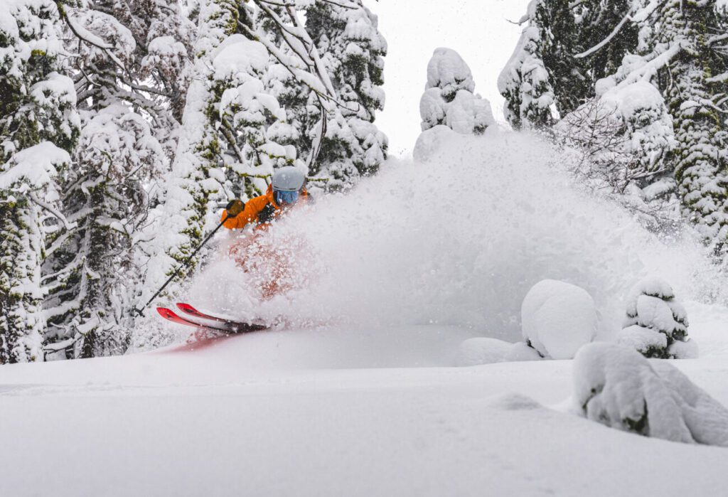
Near mid-mountain, around 23-30 inches of snow is possible by Monday morning, and 28-35 inches up top. Only about 3-6 inches of that is expected by Saturday morning, and the additional 1.5 – 2.5 feet is split between Sunday morning and Monday Morning. If some models are right about the AR aimed NW of the lake Saturday night, a lot more snow is possible, so we’ll keep an eye on that.
Monday System:
A weaker storm is expected to sweep through around Monday afternoon-evening and could bring a final round of snow as icing on the cake. The winds look lighter and not as much forcing and spillover of precipitation across the Tahoe Basin.
The snow levels look to be in the 5000-6000 ft. range, with all snow for the mountains and lake level. We could see a final 1-5 inches of snow with this storm from the base up to the summit.
Tuesday Weather:
The latest trend is a break in the storms for Tuesday, the 6th, with some sun and cold temperatures. Highs in the 30s for the lower elevations and 20s for the higher elevations.
Final Storms Possible:
The long-range models keep the trough over the West Coast through the 8th, with a final storm possible between the 7th-8th. Right now, that storm looks fairly weak, but could bring a final round of snow over the next 7days. We’ll continue to watch the trends as it gets closer.
Drier Pattern Possible:
The trend beyond the 8th is still to flip from the -PNA (West Coast rough pattern) into a +PNA (West Coast ridge pattern) with high pressure starting to build in over the West Coast, and possibly continuing through mid-month.
That is expected to start blocking the storms around the 9th through mid-month, and possibly into the 3rd week of January. It’s not impossible that a storm sneaks into the region, but if one does, it will likely be significantly weakened.
I’m watching the trends beyond mid-month, as the ensemble mean models suggest that the high-pressure ridge over the West Coast could start to shift westward a bit with time. If that happens, eventually cold storms could start to drop in from the north.
Hopefully, if we see a drier pattern, it doesn’t last too long…
Happy New Year! – BA