Thursday – Friday:
Sunny and mild through Friday. Highs near 70 degrees at the base and 60s on the mountain. Southwest breezes could pick up by Friday afternoon with gusts up to 30-40+ mph up top.
The Weekend:
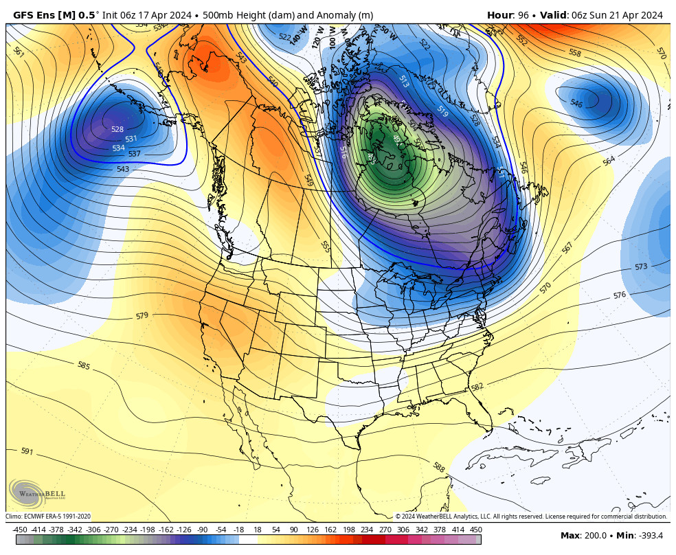
Over the weekend high pressure breaks down as a cold trough begins to push in from the north. We should cool into the 50s for highs at the base and 40s up top. Mostly sunny skies should continue. Winds up top could continue to gust up to 30+ mph from the west.
Monday Storm:
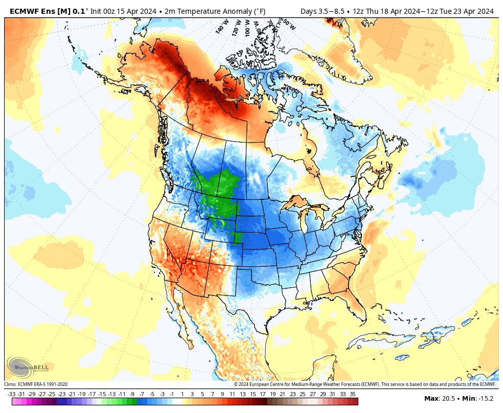
The cold trough is established over the West by Monday, and it could linger through most of the week bringing in colder air and an unsettled pattern. Highs only in the 30s by Monday as another cold front moves through with a storm that could bring accumulating snow to the mountain.
The latest forecast model runs suggest that snow could move in by late morning and could continue into Monday night, and then clearing by Tuesday morning. Monday we could see winds gusting up to 100+ mph up top which should close several lifts on the upper mountain.
By Tuesday morning we could see 3-6 inches of fresh snow at the base, and 5-11 inches on the mountain. We will continue to watch the trends as the storm approaches and adjust the snowfall forecast if needed.
Long-Range:
We could stay cool through the end of the week with highs in the 30s & 40s. There’s a chance for another weak system Wednesday and another next Friday that could bring more light snow to the mountain. We’ll continue to watch the trend on those as well as we get closer.
The pattern could start to become warmer & drier again the weekend of the 16th into the week of the 18th.
BA


