Final Snowfall Report:
The snow showers on Tuesday dropped a final 3 inches of snow on the upper mountain and 1 inch at the base. That brings the 7-day total to 34 inches on the upper mountain, and the season total to 59 inches so far. That’s around 120% of the average for the date!
Thanksgiving Holiday Weather:
We have high pressure starting to build in over the northeast Pacific Wednesday and that will shift and strengthen over the West Coast going into the first week of December.
That will bring a drier pattern with mostly sunny or completely sunny skies each day through the Thanksgiving holiday period and into the first week of December.
Highs into the 30s Wednesday, but then 40s starting Thanksgiving Day and close to 50 degrees down at the base some days.
Overnight lows into the 20s should allow for snowmaking on the mountains, and the low sun angle going into December usually limits melting.
Long-Range Forecast:
The long-range models continue to show the ridge getting pretty strong over the West Coast next week. By the end of the week, we could more consistently see highs over 50 degrees for the lower elevations. We could also start to see some overnight inversions limiting snowmaking for the upper mountains.
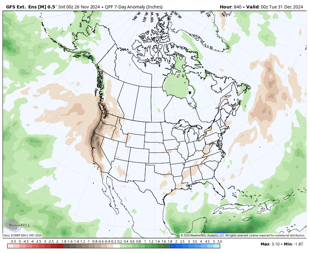
The ensemble mean models show us stuck in this pattern through the 2nd week of December. There are some signs that the ridge could be weaker during the 2nd week of December. That could bring a more active pattern back to the Pacific NW, but only light amounts of precipitation if any would likely reach the northern Sierra.
Hopefully, we see a shift or a few storms force their way in sooner rather than later. I’ll be watching closely for you, and I’ll let you know as soon as I see a sign of a change in the storm forecasts or teleconnection pattern forecasts that could lead to a pattern change.
Have a great Thanksgiving!
BA
P.S. I’ll likely shift to every other day posting through the holiday weekend as I am traveling and there isn’t much to talk about.


