

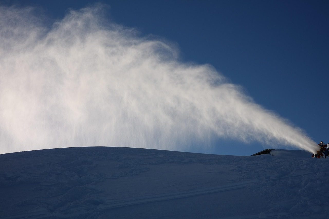
We can start the post today with some good news. We have much colder air that has moved into the region, with temperatures on Wednesday morning in the teens and 20s on the mountain! The snowmaking team is busy blasting away to make as much snow as possible.
Week 1:
We found the cold for Wednesday. Unfortunately, it’s only visiting for a day. Highs in the 30s for Wednesday and another cold night Wednesday night for good snowmaking.
High pressure has been and still is stuck near the West Coast. The high-pressure ridge is forecast to be stuck near the West Coast for at least another week. As the center of the ridge shifts over the West Coast over the next week, the temperatures will warm a bit each day, with highs in the 50s for the lower elevations by the weekend, and 40s for the higher elevations.
We may stay above freezing from bottom to top starting Friday through next week. I’m focused on temperatures because we will have mostly sunny skies each day with no storms expected over the next 7 days.
Week 2:
We are likely stuck in the dry and mild pattern for at least 10 days through next Friday, the 12th of December. There are still some signals from the long-range ensemble mean models that the pattern could shift as we get closer to mid-month, with the ridge near the West Coast flatter and weaker, and more troughing to our north trying to dig farther south off the coast.
There is a lot more certainty in that continuing the storm track into Washington and likely a bit farther south into Oregon, but without a deep trough over the West Coast, northern CA could be on the southern edge of the storm track still.
Looking at the precipitation anomaly forecasts, most of the forecast models this morning are showing equal chances of above/below average precipitation, or close to average for week 2 (11th – 17th), with most of that likely beyond the 13th.
But the long-range models have been teasing us for weeks. Beyond 10 days, the models struggle, and more so than normal lately. Likely due to the stratospheric warming event that disrupted the polar vortex at the end of November, and the next strat warm event expected during December.
Let’s hope this all changes sooner rather than later, but as of today, I still have little confidence in a large pattern change, at least for 10+ days. I’m as anxious for snow as you are and working daily to look for positive signs or confidence in a good pattern later in December…
BA
