Skip to content
Palisades Tahoe Logo Palisades Tahoe Logo Palisades Tahoe Logo
Explore
Main Menu
  • Explore Palisades Tahoe
  • Base to Base Gondola
  • Our New Name
  • Explore Legendary Lifts
  • Palisades Tahoe Blog
  • About Lake Tahoe
  • About Us
Plan Your Visit
Main Menu
  • Tickets & Passes
  • Lodging
  • Lessons & Guides
  • Deals & Packages
  • Rentals & Demos
  • Travel Here
  • Getting Around
Mountain Information
Main Menu
  • Snow and Weather
  • Lift and Grooming Status
  • Webcams
  • Hours of Operation
  • Trail Maps
  • Parking & Road Conditions
  • Snowfall Tracker
Events & Activities
Main Menu
  • Events Calendar
  • Activities
  • Dining & Apres
  • Shopping
  • Things To Do In Lake Tahoe
  • Groups, Meetings & Weddings
  • Ski & Snowboard Teams
IKON PASS HOLDER LODGING DISCOUNT

Ikon Pass holders save up to 20% on slopeside lodging at The Village at Palisades Tahoe.

SLOPESIDE LODGING
Icon / FlashCreated with Sketch.
View All Offers
  • Weather

9 Inches of New Snow, Snow Showers Sat Afternoon

  • Mar 5, 2022
  • 8:02 am

Snowfall Report:

Snow showers moved through Friday dropping 2″ on the upper mountain by evening. Then the cold system moved in Friday evening and overnight. The forecast by Saturday morning was for 2-5″ on the mountain. I had been mentioning in the forecasts that with the convective nature of this system, “it is possible to get slightly more than forecast on some mountains, but it’s hard to know which ones”.

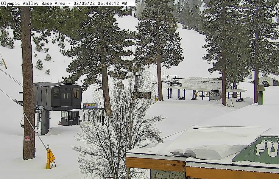
The good news Saturday morning is that Palisades Tahoe was one of those mountains! The upper mountain picked up 7 inches of additional snowfall Friday night from the bands of convective snown that moved through, and 5 inches at the base. That brings the storm total to 5 inches at the base and 9 inches up top already, with more snow expected Saturday afternoon.

Saturday Snow Showers:

We have a lull in the snow showers Saturday morning as the center of the low crosses the Sierra. The winds will shift to the north-northeast Saturday afternoon as wrap-around moisture on the north side of the low moves north to south through the Sierra. The snow showers could last through the late afternoon before clearing Saturday night.

Highs only in the 20s on the mountain Saturday. Ridgetop winds increase into the afternoon, gusting from the north up to 50+ mph up top. That will make it feel even colder and could affect a couple of upper mountain lifts.

We could see a final 1-3 inches of additional snowfall on the mountain during the afternoon to bring the storm totals to 6-12″ for this cold storm!

Sunday – Friday:

A drier pattern returns Sunday and is expected to last through the end of the week, with mostly sunny skies expected throughout most of the period. It stays cold Sunday into Monday with highs in the 30s at the base and 20s up top. Highs warming into the 40s at the base and 30s up top starting Tuesday.

We could see gusty northeast winds up to 60+ mph up top Monday, possibly affecting a few upper mountain lifts and making it feel colder.

Long-Range:

We may stay dry through the weekend of the 12th-13th as high pressure sits near the West Coast and over CA.

The long-range forecast models continue to suggest a trough forms in the northeast Pacific pushing into the Pacific NW by mid-month into the 3rd week of March. The northern Sierra could be on the southern edge of the storm track, which means the storms could stay just to our north, or some could dig south bringing rain & snow to the northern Sierra. We’ll continue to keep an eye on the trends as we get closer.

BA

lake tahoe weather palisades tahoe weather forecast snowfall forecast
Bryan Allegretto
Bryan Allegretto

Share this article:

Recent Posts

  • Weather ·
  • March 21, 2023·

Weak Systems & Snow Showers thru Sunday

Tuesday Storm: The next storm pushes snow showers back in by later Tuesday morning, with steadier snow through Tuesday afternoon.…
Read more
  • Weather ·
  • March 20, 2023·

More Weak Systems Tuesday-Friday

Snowfall Reports: No real surprises with the weak storm that moved through on Sunday. We were expecting 3-11 inches from…
Read more
  • Weather ·
  • March 19, 2023·

Two More Storms Sun & Tue

Sunday Storm: Snow showers are moving in Sunday morning, and will continue through the day before becoming more scattered Sunday…
Read more

Social

Instagram Twitter Facebook Youtube

Contact

   Email Us
   1.800.403.0206

Our Partners

U.S. Forest Service Logo
1960 Olympic Valley Road
Olympic Valley, CA 96146

©2022 Palisades Tahoe

Alterra Mountain Company
  • Privacy Policy
  • Terms of Service
  • Photo Upload Terms of Use
  • Accessibility
  • Do Not Sell My Personal Information
  • Privacy Policy
  • Terms of Service
  • Photo Upload Terms of Use
  • Accessibility
  • Do Not Sell My Personal Information