

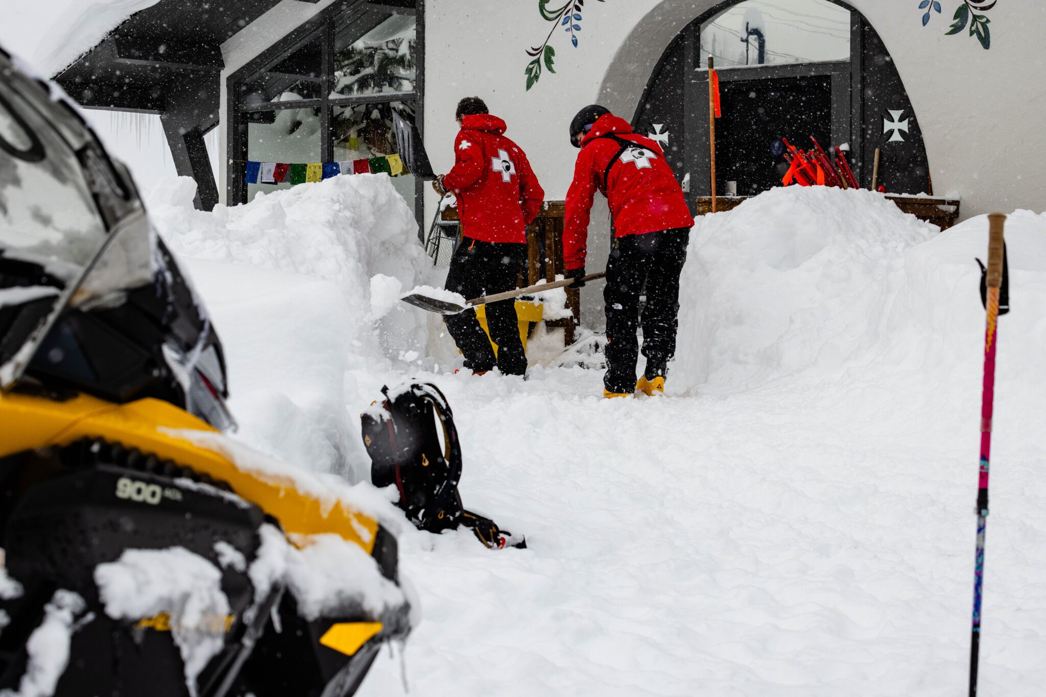
Snowfall Report:
The snow showers were firing all day on Wednesday, and were heavier than forecast for a lot of areas. Several inches up to a foot, which was expected, turned into 18-21 inches of additional snowfall over the past 24 hours as of 5 AM Thursday. That brings the 3-day storm total to 6.5 feet at the base and 8 feet (97 inches) up top!
Thursday’s Final Round of Snow:
The final storm moving into central CA Thursday morning, pushing the last round of precipitation through the Sierra during the day on Thursday.
It’s another cold storm with high snow ratios. Temperatures are only in the teens this morning with teens for highs on the upper mountains for Thursday, and 20s for the lower elevations. The winds aren’t that strong this morning, but are expected to gust up to 45-55+ mph by midday over the ridges. Then coming down into the evening.
The snow showers could linger over the mountain into the evening, with the models showing the last straggling flakes ending by midnight. With 15-20:1 snow ratios continuing, we could see a final 8-13 inches near the base, 10-15 inches near mid-mountain, and 11-16 inches up top by Thursday night!
Friday – Sunday Weather:
Friday will still be cold but calmer with clearing skies and the sun returning. Highs in the 20s. A beautiful day to get out and enjoy all of the fresh snow.
Saturday and Sunday, the winds increase with highs warming into the 30s, and maybe near 40 degrees at lake level by Sunday afternoon. Ridgetop winds gusting up to 30-40+ mph from the SSW on Saturday and increasing up to 50-60+ mph from the SW on Sunday. That could start to impact upper mountain lifts.
We could see an increase in clouds on Saturday and maybe a decrease on Sunday as the storms are right near the coast and could pull back some on Sunday. The trend over the last few days has been for stronger high pressure over the southwest, keeping the trough off the coast through at least Sunday.
Monday – Wednesday Rain & Snow Chances:
The latest model runs are now trending towards a drier Monday, as the storm is stuck spinning off the coast. Eventually, it taps subtropical moisture with an AR forming that is now forecast to push into the northern Sierra between Monday night and Tuesday morning, with precipitation continuing into Wednesday before clearing out Thursday.
With this latest scenario, which has good model agreement this morning, we will see milder air drawn in as the AR pushes south through the Sierra. Highs warm into the 30s on the mountain and near 40 degrees at the base through Wednesday. Ridgetop winds could gust up to 60+ mph on Monday, 80+ on Tuesday, and 60+ on Wednesday, so a windy period that could impact lift operations.
Snow levels continue to trend higher with a forecast for mainly an AR event now. They could be around 7500-8000 ft. for much of the storm, with rain falling on top of the feet of new snow in the lower elevations. Above 8000 ft. we could see 2-3 feet of wet snow on the upper mountain.
Tuesday is just beyond the 5-day forecast window, so I’ll have more details on snowfall and snow levels as we watch the trends over the next few days.
Long-Range Outlook:
The long-range models continue to show a trend towards high pressure building in over CA during the last couple of days of the month, and through the 1st week of March. That should bring us a drier pattern.
Some models show a weakening system or two bring a few showers during the period, but overall, a much drier pattern is expected as of right now. Highs will likely be in the 40s for the lower elevations and 30s for the higher elevations through much of the period.
Looking way out there on the longer-range model patterns, I’m not seeing a good signal for storms to return during the 2nd week of March, but that could always change. There is a sign of a potentially wetter pattern later in March, but of course that could change as well.
Not the start to March we were hoping for, but at least we got a huge week to end February, with plenty of snow to ski on into March. I’ll continue to look for signs of the next good snowstorm.
BA
