
Snowfall Report:
The snow that moved through overnight dropped 4 inches at the base and 5 inches up top. That brings the season total to 58 inches so far.
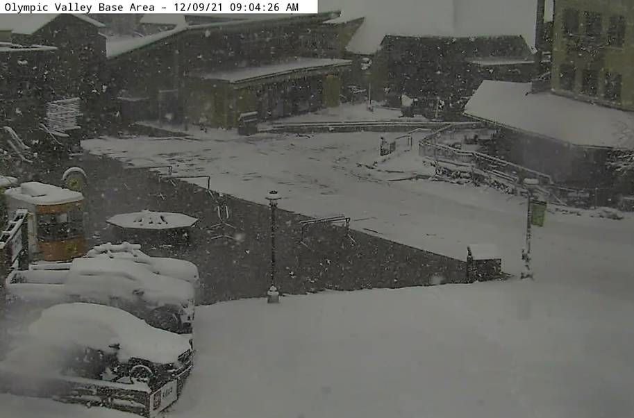
Thursday:
The snow continues to fall this morning as the cold front moves through. We should see showers become more scattered and diminish into the afternoon. An additional 1-3 inches of snow are possible Thursday before we clear later in the day. Much colder air is moving in this morning. Temperatures are dropping into the 20s on the mountain which is great news for snowmaking.
Friday – Saturday:
Dry but cold for Friday into Saturday with some sun. Highs in the 30s at the base and 20s for the upper mountain. The winds are lighter Friday but increase Saturday with ridgetop gusts to 70+ mph from the southwest by afternoon. That will make for cold wind chills on the mountain. Snowmaking could continue around the clock on the upper mountain.
Sunday – Tuesday Storm:
We still don’t have agreement on the timing and snowfall amounts among the forecast models yet, but there is agreement in a big storm moving in some time on Sunday and lasting into Tuesday.
A deep trough is going to dig south along the West Coast Sunday into Monday. The trough will be bringing down more cold air which is going to help keep snow levels fairly low with this storm. Initially, a front moves into northern CA on Sunday and could almost stall. Ridgetop winds could increase to 100 mph from the southwest.
Some models are showing only light showers making it into the Tahoe Basin Sunday into Sunday night, or and some models are showing steady snow arriving as early as Sunday morning. An area of low pressure will be slowly moving south down the coast through Tuesday. The next wave that rotates in Monday into Monday night is the one that could bring heavy snow.
The snow could continue into Tuesday before ending Tuesday night. Ridgetop winds could gust to 130+ mph Monday and then come down on Tuesday. Highs in the 30s at the base and 20s for the upper mountain.
We will continue to iron out the timing and total snowfall amounts as we get closer. The snow levels don’t look to be an issue right now and should stay below the base. Initial estimates for total snowfall by Tuesday night are 2-3 feet at the base and 3-5 feet on the mountain.
Long-Range:
It may be cold and sunny for Wednesday. The next storm drops down along the West Coast next Thursday. It could brush us with some showers as it moves south down the coast. Then it could stall Friday-Saturday the 17th-18th off the coast keeping us dry, then we could see showers as it moves inland Sunday the 19th. Lots of details to figure out as we get closer.
The long-range models suggest we start the week of the 20th dry, but we could see storms return by Christmas Eve. We’ll be watching that closely.
BA


