

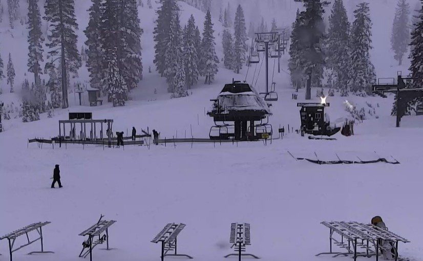
Snowfall Report:
An additional 19 inches fell on the upper mountain in the past 24 hours as of 5 AM Monday morning, and 16 inches at the base. That brings the upper mountain 3-day storm total to 38 inches, and the season total to 143 inches. My final forecast for the storm on Friday morning was for 33-41 inches, so we received exactly what we expected with this storm.
It was windy on Sunday, so there are likely some shallower and deeper pockets of snow around the mountain. The snow showers continue on Monday morning.
Monday System:
We have some gusty winds over the ridges on Monday morning of 60-70+ mph from the SW. Those are forecast to drop throughout the day. Highs in the 30s for the lower elevations and 20s for the higher elevations.
We have a final system moving into northern CA Monday morning, but it is forecast to rotate south down the CA coast through the day, pushing precipitation close to the northern Sierra, but then pulling it away and south by the afternoon. We have some snow showers Monday morning that should diminish into the afternoon.
A few days ago, we were hoping to get several inches of final snowfall accumulation for this storm series, but with the storm shifting away from the Sierra throughout the day, we may only end up with a final 1-3 inches of snow on the mountain.
Tuesday Weather:
Mostly sunny skies with lighter winds expected for Tuesday, and cold with highs in the 30s. That should bring a nice day of skiing with the fresh base.
Wednesday Systems:
A pair of weaker systems are forecast to brush us with some light precipitation on Wednesday and again on Wednesday night. The trends this morning are a bit farther south with these systems, and a bit more precipitation for the mountain.
The winds pick up a bit, but don’t look strong enough to affect ski lift operations. Highs remain in the 30s with 20s for the upper mountain. The snow levels may be around 5000-5500 ft. Wednesday morning, and rise to around 6000-6500 ft. by afternoon, and then drop below 5000 ft. Wednesday night.
It’s possible a little rain mixes in near the base on Wednesday afternoon, but likely mostly snow for all elevations with these weak systems. We could see a dusting up to a few inches of snow near the base and 1-4 inches of snow on the upper mountain by Thursday morning.
Thursday – Sunday Weather:
High pressure begins to build over the region by the end of the week. Mostly sunny skies are expected each day through the weekend. We start colder with highs only in the 30s down to the lower elevations, but warm slightly into the weekend with high pressure building overhead. Highs may warm into the 40s for the lower elevations by Sunday.
Long-Range Outlook:
By next Monday, the high-pressure ridge is fairly strong over the West Coast. Highs are likely to warm into the 40s for the lower elevations next week, with 30s for the higher elevations. We will likely see overnight temperature inversions as well, with high pressure over the region.
The long-range models continue to show the ridge starting to retrograde northwestward towards the Gulf of Alaska beyond mid-month. That position is likely not far enough WNW yet to open the door to storms. The ensemble mean models are very dry for northern CA through the 3rd week of January.
But the northerly flow on the east side of the ridge should drive some of the colder air up in Alaska and Canada southward into the region. The soonest I’m seeing an operational model show a storm moving into northern CA this morning is around the 20th, and that keeps getting pushed back.
I’ve been warning that the long-range models are often too fast to retrograde ridges. After Wednesday, we may be heading into a two-week dry spell. Hopefully not, but we’ll watch the trends daily and will let you know as soon as the pattern could shift back towards a stormy pattern for the northern Sierra.
BA
