
Snowfall Report:
Mountain ops are reporting 21 inches of new snow fell on the mountain in the past 24 hours as of 5 AM Sunday. That brings the 2-day storm total to 35 inches, and 341 inches for the season! We were only expecting 2-day totals of up to 30 inches, so the storms have overperformed so far.
Sunday Snow Showers:
Sunday should be a fairly decent day for skiing. We are between storms with a moist flow with scattered snow showers. Ridgetop wind gusts up to 40-50+ mph which is marginal to affect the upper mountain lifts. Highs in the 20s on the mountain. Only Expecting around 1-2 inches of new snow at best during the day.
Sunday night moisture continues to flow into the Sierra with snow showers possible overnight. Only another 2-4 inches of snow new snow is expected overnight. This means we may only see 2-6 inches in total for the 24-hour period by early Monday morning. Slightly more is possible if a heavier snow shower or two forms over the mountain.
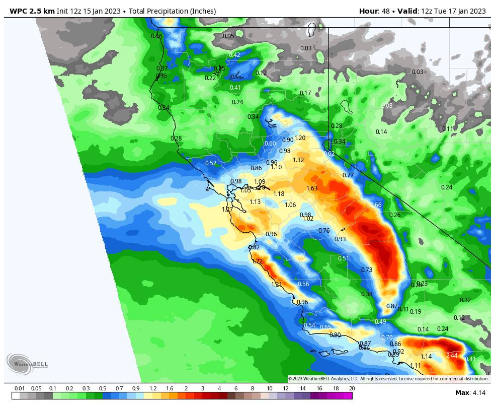
Monday Storm:
Steadier snow moves back in Monday morning as the next storm moves in and continues through the afternoon. Then scattered snow showers into Monday evening which taper off by early Tuesday morning. This storm is trending farther south which means only light-moderate snow is expected for Monday.
It also means that lighter winds are expected for Monday as well. Highs in the 20s on the mountain to near 30 degrees at the base. We could see 6-11 inches of new snow by early Tuesday morning. By early Tuesday morning, we could see 2-day storm totals of:
- 7-13 inches at the base.
- 10-15 inches at mid-mountain elevations.
- 12-17 inches up top.
That would be 4-day weekend totals of around 4+ feet of snow on the mountain!
Tuesday:
Clearing and cold for Tuesday with lighter winds. Highs into the 20s on the mountain. We should see mostly sunny skies with beautiful skiing weather.
Wednesday – Thursday System:
Wednesday is still cold but with increasing winds and clouds through the afternoon as the next system approaches. Ridgetop winds could reach 60-70+ mph from the west by afternoon which could affect some upper mountain lifts.
A narrow cold front sweeps through later Wednesday afternoon/evening into Wednesday night, with snow showers possibly lingering into Thursday morning before clearing out. Clearing Thursday afternoon and cold with winds diminishing. Continued cold with highs in the 20s on the mountain.
The latest model runs have trended a bit wetter with the storm. It will be cold with powdery snow falling on the mountain. Here is the updated forecast for total snowfall expected by Thursday morning.
- 4-8 inches at the base.
- 5-9 inches at mid-mountain elevations.
- 6-11 inches up top.
Long-Range:
High pressure builds in over CA starting Friday, with a drier pattern expected into the last week of January. We should see mostly sunny skies and fairly cold temperatures Friday through the weekend of the 21st-22nd, and into the week of the 23rd.
We may see an even colder pattern with time with colder/weaker systems possibly dropping down from the north, and then the storm door possibly opening up a bit more by the end of January.
We’ll be watching the long-range forecast trends closely to see how long the drier period could last and when we will see more fresh snow.
BA


