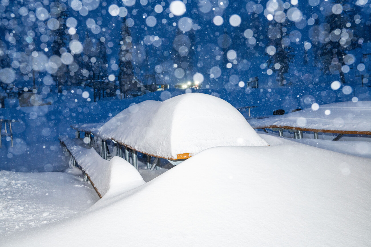
Snowfall Report:
A final 2 inches fell at the base on Friday bringing the final storm total to 17 inches, and 4 inches up top bringing the storm total to 39 inches!
The season total at 8k’ is now at 248 inches. That brings us back up to around 98% of the average snowfall for the date on the upper mountain!

Weekend Weather:
The weather looks nice for Saturday with mostly sunny skies and highs in the 40s for the lower elevations with 30s for the upper mountain.
Sunday and Monday we still have the chance for a few scattered showers as we catch the southern edge of storms moving through to our north. We are likely to get strong winds on Sunday, with ridgetop gusts from the SW up to 60-80+ mph, which could close some upper mountain ski lifts.
Highs in the 30s on both days. Snow levels around 7000-8000 ft. for Sunday and lowering to around 6000-7000 on Monday along with the winds lowering. That means some rain showers are possible for the lower elevations on both days. Not expecting more than minor snow accumulations up top at best, but we’ll watch the trends.
Tuesday – Wednesday:
Tuesday looks similar to Saturday with mostly sunny skies and highs into the 40s for the lower elevations. The latest trends on the models now have the Wednesday system moving through to our north possibly brushing us with showers similar to the Sunday – Monday systems.
Highs in the 30s for Wednesday. Snow levels could start out above 8000 ft. in the morning and drop close to lake level by the end of the day. We’ll continue to watch the trends on this system as well.
Drier Pattern:
The pattern of catching the southern edge of some storms with the storm track to our north should end by Thursday into the last weekend of February, and likely through at least the 26th. Stronger high pressure is still forecast to build in over the West Coast during this period. That should bring us a much drier or likely completely dry for about a week.
Long-Range Forecast:
The longer-range models continue to show the ridge weakening and the northeast Pacific trough nudging closer by the end of the month into the first week of March. That could bring the storm track farther south into northern CA by the last day of February into the first week of March.
We’ll continue to watch the trends to see if an active storm pattern could return to give us a decent start to March.
BA


