Skip to content
Palisades Tahoe Logo Palisades Tahoe Logo Palisades Tahoe Logo
Explore
Main Menu
  • Explore Palisades Tahoe
  • Base to Base Gondola
  • Our New Name
  • Explore Legendary Lifts
  • Palisades Tahoe Blog
  • About Lake Tahoe
Plan Your Visit
Main Menu
  • Tickets & Passes
  • Lodging
  • Lessons & Guides
  • Deals & Packages
  • Rentals & Demos
  • Travel Here
  • Getting Around
Mountain Information
Main Menu
  • Snow and Weather
  • Lift and Grooming Status
  • Webcams
  • Hours of Operation
  • Trail Maps
  • Parking & Road Conditions
  • Snowfall Tracker
Events & Activities
Main Menu
  • Events Calendar
  • Aerial Tram
  • Activities
  • Dining & Apres
  • Shopping
  • Groups, Meetings & Weddings
  • Ski & Snowboard Teams
Winter Lodging Exteriors of the Village at Palisades Tahoe
Book Winter Early

Ikon Pass holders save up to 25% when you book with The Village at Palisades Tahoe this winter.

SAVE ON LODGING
Icon / FlashCreated with Sketch.
View All Offers
  • Weather

33 Inch Storm Total, More Snow Coming!

  • Dec 6, 2022
  • 8:09 am

Snowfall Report:

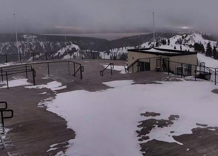
Snow showers continued to fall Monday with a fresh 9-11″ of snow being reported in the past 24 hours as of 6 AM Tuesday. That brings the final 3-day storm total to 33 inches on the upper mountain and 18 inches in the village!

Tuesday – Thursday:

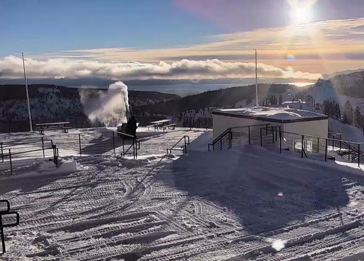
We will see mostly sunny skies Tuesday through Thursday morning, and cold with highs in the 30s at the base and 20s on the upper mountain. We should see lighter winds, through Wednesday. By Thursday afternoon the winds and clouds increase ahead of the next storm, gusting up to 60+ mph from the southwest by afternoon.

Thursday Night – Friday Storm:

A weak front is forecast to move through Thursday night into Friday morning. It looks like it may weaken quite a bit as it moves through the Sierra. We could see 1-4 inches of new snow by Friday afternoon at the base and 2-6 inches on the mountain.

The winds may come down some Friday morning but then increase again during the afternoon ahead of the next storm. Gusting up to 50+ mph possible up top by the end of the day. Highs in the 20s on the mountain and 30s at the base.

Friday Night – Sunday Storm:

A stronger storm moves in by Friday night and could last into Sunday before moving out Sunday night. Expect high winds and heavy snow with some lift closures Saturday. Southwest winds gusting up to 100+ mph up top. 6-12 inches possible by Saturday morning with another foot+ possible during the day.

Snow showers linger into Sunday but the intensity should start to wind down through the day. the winds should also come down through the day. We could see up to another foot+ on the mountain Saturday night and several inches to finish out the storm Sunday. Storm total of 22-32 inches possible at the base and 32-45 inches on the upper mountain.

Long-Range:

Additional storms are possible the week of the 12th as the pattern could remain active up until at least mid-month. We could see a break Monday the 12th. Then the next storm could move in next Tuesday-Wednesday the 13th-14th.

There are a few signs that we could see a quieter pattern after mid-month, but that could change. We’ll continue to watch the trends and keep you posted.

BA

lake tahoe weather palisades tahoe weather forecast snowfall forecast
Bryan Allegretto
Bryan Allegretto

Share this article:

Recent Posts

  • Weather ·
  • September 19, 2023·
The predicted El Nino pattern for this winter

2023-24 Palisades Tahoe Winter Forecast Preview…

As we look ahead to the 2023-2024 winter season, it's important to remember that any winter outlook will contain an inherent degree of uncertainty. However, there are a few clues that we can keep an eye on.
Read more
  • Weather ·
  • May 8, 2023·

Final Forecast of the 2022-23 Season

First Week of May Snowfall Report: The first week of May was a cold and snowy one. The upper mountain…
Read more
  • Weather ·
  • May 1, 2023·

Snowy First Week of May

Monday – Friday Snow Shower Chances: A low-pressure system will be making its way south down the coast on Monday…
Read more

Social

Instagram Twitter Facebook Youtube

Contact

   Email Us
   1.800.403.0206

Our Partners

U.S. Forest Service Logo
1960 Olympic Valley Road
Olympic Valley, CA 96146

©2022 Palisades Tahoe

Alterra Mountain Company
  • Privacy Policy
  • Terms of Service
  • Photo Upload Terms of Use
  • Accessibility
  • Do Not Sell My Personal Information
  • Privacy Policy
  • Terms of Service
  • Photo Upload Terms of Use
  • Accessibility
  • Do Not Sell My Personal Information