

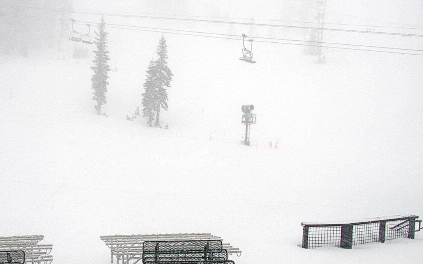
Snowfall Report:
As of 5 AM Tuesday morning, there was a fresh 18 inches of snow at the base and 29 inches up top from the past 24 hours. That brings the storm total to 32 inches and counting. I’m taking the liberty to see that 4 additional inches or more have fallen as I’m posting this forecast at 8 AM, so I am going with the title of 3 feet and counting as the snow continues to fall and pile up quickly.
Tuesday – Thursday Storms:
The cold low-pressure system is spinning off the Pacific NW coast on Tuesday morning. A cold front is moving into the Sierra on Tuesday morning, pushing in a band of heavier snow. It’s already cold with temperatures in the teens, and this front will reinforce the cold and bring even colder temperatures Tuesday night.
The heavier snow will continue to push into the Sierra during the day on Tuesday, and we expect lots of post-frontal convective snow bands to move through into Tuesday night as that cold, moist air flows over the mountains. Then winding down into Wednesday morning. We could see 2-4 feet of additional snowfall by Wednesday morning.
Highs only in the 20s for the lower elevations near the base and teens on the upper mountain. Then dropping into the teens and single digits Tuesday night. Strong ridgetop winds gusting up to 70-80+ mph from the WSW on Tuesday, blowing around that powdery snow and creating blizzard and whiteout conditions on the mountain, and closing some lifts.
On Wednesday, we expect a lull between storms with scattered snow showers and still cold with highs in the 20s for the lower elevations and teens on the upper mountain. The latest model runs show the winds a bit strong on Wednesday ahead of the next storm, gusting up to 50-60+ mph from the west over the exposed ridges. Only expecting around 1-3″ of snow during the day.
Then the next system moves in sometime Wednesday night into Thursday. It’s a smaller storm but will increase the snow and snow showers during the day and then diminishing Thursday night. The snow ratios will continue to be high, especially at night. The snow ratios near 8000 ft. could average around 20:1 and higher at night.
My updated snowfall forecast for Additional snowfall by Friday morning is for around 3-4 feet at the base, and 4-5 feet on the upper mountain. That would bring us storm totals of around 4-5+ feet at the base and 6-8 feet on the mountain!
Friday – Saturday Weather:
The latest model runs are coming into better agreement that we will see a break between storms with partly sunny skies for Friday and Saturday. Highs warming into the 30s from the lower elevations and 20s for the higher elevations.
Friday should be the nicest day with lighter winds. The next storm is digging off the coast with increasing southerly winds ahead of it on Saturday. We could see ridgetop winds increase on Saturday, with gusts up to 50-60+ mph by afternoon.
Sunday Weather:
Sunday will be the transition day with even stronger winds possible and increasing clouds. The latest model runs are still struggling with the timing of the precipitation pushing in from the next storm, but it could be by Sunday afternoon.
Snow levels could rise up to around 7000 ft. initially with the southerly flow ahead of the next storm. We’ll continue to watch the trends for Sunday to see when precipitation may arrive.
Sunday Night – Wednesday Storms:
The latest model runs show the next storm pushing in by Sunday night, with a slow-moving system that could tap into some deeper Pacific moisture, and could bring us some heavy snow into Monday, and another storm Tuesday that could linger into Wednesday the 25th.
The winds are forecast to be strongest on Monday and then still gusty for Tuesday before falling lower into Wednesday. Here is a look at our Forecast Range chart for wind gusts over the ridges over the next 11 days. The latest model runs are showing up to 4-5 inches of additional precipitation possible with these storms between Sunday and next Wednesday.
That could bring feet of additional snow to the mountains over the 3-day period. Snow levels could start a bit higher around 7k’ Sunday night into Monday if the system has an AR with some warmer moisture being drawn in, and then they are forecast to fall below the base for Tuesday and Wednesday with the 2nd system.
We’ll continue to watch the trends for these storms, with more details on potential snowfall and snow levels as they come within the 5-day forecast window.
Long-Range Outlook:
The long-range models continue to be at odds beyond the 25th. There is slightly better agreement that the storm track starts to lift to our north around the 26th -27th, but then the models diverge by the 28th into the first week of March.
Some forecast models show the trough digging farther south again into the first week of March, pushing the storm track back into northern CA. Others suggest that the trough stays north with high pressure building in over CA into the 1st week of March, bringing us a drier weather pattern beyond the 25th of February.
So what will happen? Who knows. We don’t have a ton of teleconnection signals to point in either direction. I tend to trust the drier European AI ensemble mean model more than the others, so I’m leaning towards a drier pattern, but we’ll watch the trends to see if we could see more storms to start the month of March.
BA
