Snowfall Report:
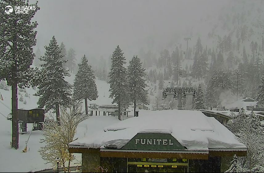
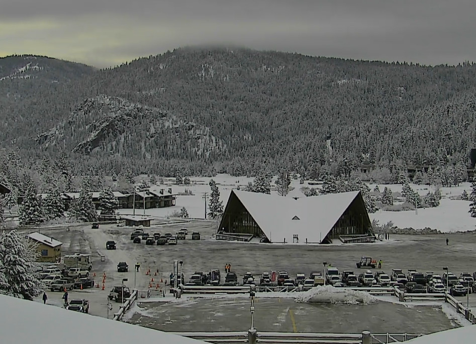
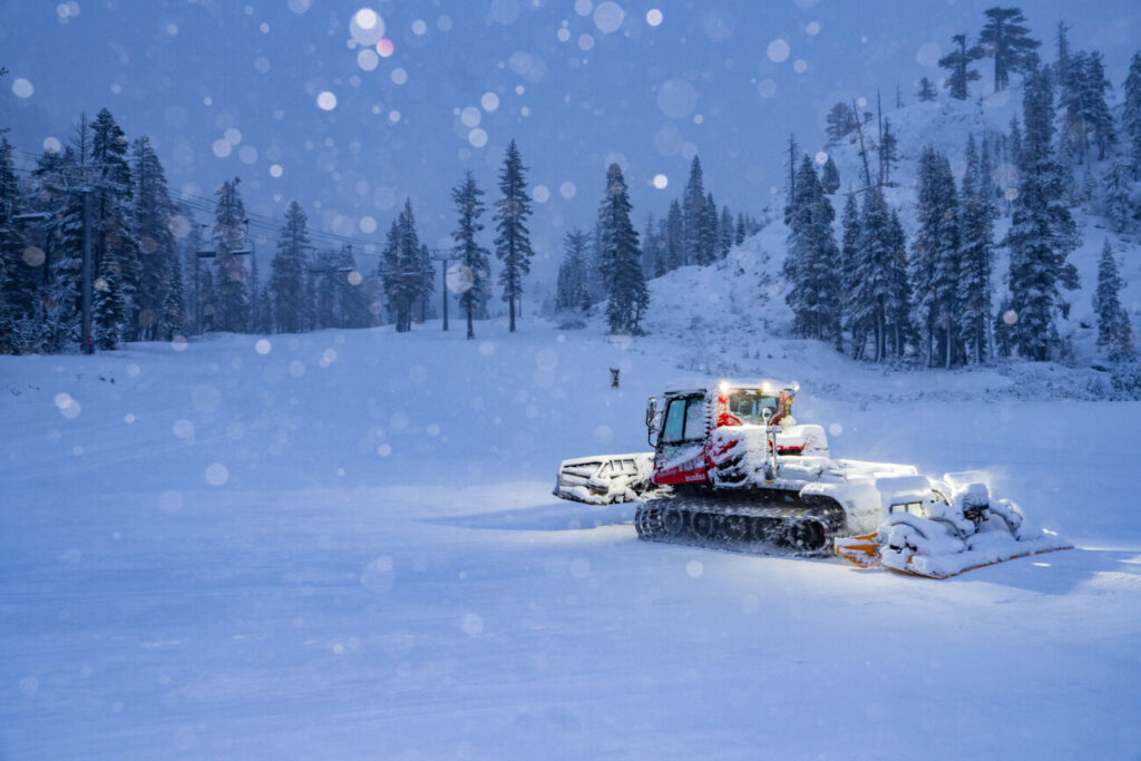
The overnight snow showers produced a bit more snow than expected, with 4-9 inches falling from bottom to top on the mountain! That will give us a nice powder day as the winds have finally dropped as well.
The 3-day storm totals are up to 22 inches on the upper mountain so far with a little more possible Wednesday morning. We are now close to 100 inches of snow so far for February!
Wednesday Weather:
We have some scattered snow showers still firing up over the mountains Wednesday morning. The showers will diminish through the morning with some clearing expected for the afternoon along with some sun. Highs in the 30s.
Nicer Weather:
High pressure builds in over the region Thursday through Saturday. We will have mostly sunny skies each day along with lighter winds and milder temperatures. Highs into the 40s for the lower elevations Thursday, and then 40s up as high as 8000 ft. Friday and Saturday.
Sunday is a transition day as moisture from the cut-off low near the coast starts to approach the Sierra. Most forecast model runs show any light rain & snow showers not reaching the northern Sierra until the end of the day. We may see some increasing clouds Sunday afternoon with highs still in the 40s.
Sunday Night – Monday Night Storm:
The approaching trough from the north will help to draw in some moisture from the West Sunday night. Then the front moving through Monday is expected to bring a period of steadier precipitation. Then diminishing to showers Monday night and clearing out by Tuesday morning.
We are expecting strong winds on Monday with ridgetop gusts from the west up to 80-90+ mph. So expect some lift closures. Highs in the 30s. This storm is not looking as cold with the trough digging out farther east. Snow levels could start up around 7000-8000 ft. Sunday evening and then fall to around 5500-6000 by Monday morning, and could hover near the base before falling lower at the end.
We could see snowfall totals of around 2-6 inches near the base, 4-8 inches near mid-mountain, and 5-9 inches on the upper mountain in total by Tuesday morning. We have several more days to watch the trends and fine-tune the forecast as we get a clearer picture of the trajectory of the trough.

Long-Range Forecast:
It still looks like we could see a break between storms for 2-3 days for the last two days of the month, and possibly into March 1st. The trough moves east with weak high pressure expected for the middle of next week.
Then the long-range models continue to show another cold trough digging south during the 1st week of March, but this time farther west over the West Coast and sticking around through the end of the week. That would bring a colder pattern and would open the door to storms spinning up into the trough off the coast where they can pick up a lot more moisture before moving into the West Coast.
So we are still watching the first week of March as a period when we could see several storms bring more snow to the Sierra. We’ll continue to watch the trends.
BA


